Fairfax Station, Virginia
Top Spots in and near Fairfax Station
-
Elkridge, Maryland
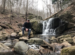
Park on the shoulder of Landing Drive (see map) to access the trailhead. This trail is open April-September. Dogs allowed on leash.
Read more
-
Knoxville, Maryland
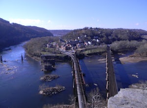
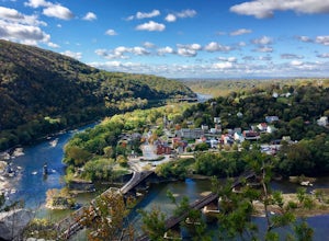
Maryland Heights is at the convergence of Maryland, West Virginia and Virginia, as well as the Potomac and Shenandoah Rivers. The Appalachian Trail and C&O Canal Towpath are also easily accessible from the trailhead parking lot.
The parking lot holds about 16 cars and is between Locks 33 and ...
Read more
-
Knoxville, Maryland
Learn Civil War history as you hike through forts and read signs about the war. Enjoy beautiful lookouts, including one with a great view of Harpers Ferry. The 5.3 mile hike is relatively easy and offers an interesting opportunity to learn history in one of the most important historical areas i...
Read more
-
Elkridge, Maryland
3.0
2.31 mi
/ 381 ft gain
This hike is a great place to escape the city feel of Baltimore and disappear into the wilderness.
Enter through the Avalon Area entrance. There is a cash fee to enter the park. Once you pass the front gate continue past the initial picnic area. Continue through the park to the Orange Grove Area...
Read more
-
South River, Virginia
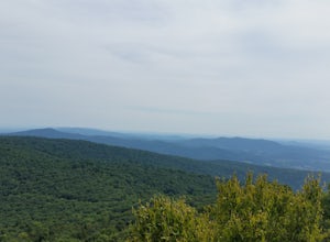
This unique hike on the Appalachian Trail in Shenandoah National Park is 2.4 miles round trip with an 835' elevation gain, and leads you to two viewpoints as well as a cool rock outcrop.Access this hike from the Compton Gap parking area (elevation 2,145') on the Skyline Drive at Mile 10.4. Cross ...
Read more
-
Annapolis, Maryland
There is no better way to travel into Annapolis then by under your own power on water. Put in your kayak, canoe, or stand up paddle board at the Truxton Park Boat Launch (run by the City Parks Department) and paddle into downtown Annapolis on Spa Creek. Pass other boaters, beautiful waterfront ...
Read more
-
Front Royal, Virginia
Skyline Drive is a winding highway that cuts straight through Shenandoah National Park. Being that we are in the south, you will find that the road is closed for the majority of the winter, and usually at the very mention of snow. The first few years of living here it was incredibly frustrating...
Read more
-
Appalachian Trail, Virginia
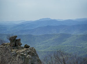
Park at the Mount Marshall parking area at ~MP 15.6 on the Skyline Drive. From the back of the parking lot, take the white-blazed Appalachian Trail north for a short 0.4 miles to a large rock outcrop with views south.
After finished exploring this outcrop, continue on the AT for another 0.1 mil...
Read more
-
Front Royal, Virginia
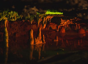
Skyline Caverns is located right off Stonewall Jackson Highway with plenty of parking.
The cave tour is about 60 minutes with little walking and minimal elevation gain. If you time it right you and your friends can get the whole tour to yourselves.
The backstory the tour guide gives you, is inte...
Read more
-
Bentonville, Virginia
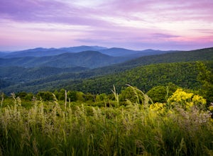
Range View Overlook in Shenandoah National Park is an amazing spot to watch the sunrise and sunset where the Blue Ridge Mountains meet the rolling hills.
Range View Overlook has views of Jenkins Mountain to the south, Pignet Mountain and Mary’s Rock to the southwest, and Hogback Mountain to the w...
Read more
-
Eldersburg, Maryland
4.0
2.04 mi
/ 282 ft gain
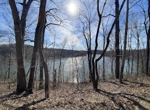
Mineral Hill Trail is an out-and-back trail that takes you by a lake located near Finksburg, Maryland.
Read more
-
Owings Mills, Maryland
4.5
2.39 mi
/ 226 ft gain
Park in the area off of Deer Park road to access the trail. Dogs are welcome on leash. Trail can get muddy in the spring, and there are some stream crossings.
Read more
-
-
Owings Mills, Maryland
4.7
5.33 mi
/ 466 ft gain
From Deer Park Road, parking is available at the nature center or the scenic overlook (about 100 yards up the road). I typically park at the overlook as this affords the ability to hike trails on either side of the road, and always finish the hike back at the car. From the parking area you are ju...
Read more

