Ewing, Virginia
Looking for the best chillin in Ewing? We've got you covered with the top trails, trips, hiking, backpacking, camping and more around Ewing. The detailed guides, photos, and reviews are all submitted by the Outbound community.
Top Chillin Spots in and near Ewing
-
Ewing, Virginia
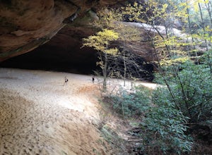
Hike to the Sand Caves
4.78 mi / 2000 ft gainAfter a 2.5 mi hike up the Ewing Trail, you will reach the Ridge Trail. Go left for approximately 1 mi until you reach a landing for horses. Another 0.25 mi down the trail, you will encounter some steep wooden steps as well as several slippery boulders. Depending on recent weather and season, you...Read more -
Ewing, Virginia
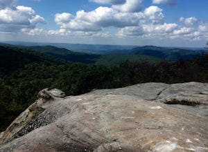
Hike to White Rocks
5.06 mi / 1500 ft gainStarting at the Ewing Trailhead, in Ewing, VA, you will meander up the ridge for about 2.5 mi before meeting up with Ridge Trail. The ascent is approximately 1500 ft up the side of the majestic White Rock Ridge. Mud, loose rocks, and some very steep climbs are included.Once at the top, left takes...Read more -
Pineville, Kentucky
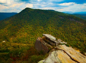
Explore the Lookout from Chained Rock
5.0Located just north of the Cumberland Gap, Chained Rock is a local landform made unique by a long slung chain that comes with a tall tale of it's creation. According to legend the rock pinnacle overlooking the Cumberland River valley struck fear into the minds of young children, which was eased wi...Read more -
Thorn Hill, Tennessee
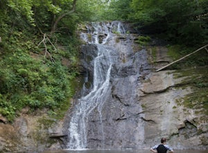
Photograph and Swim at Elrod Falls
5.0Elrod Falls is a great place to cool off in a cool clear river stream. It is located near a very small town in East Tennessee and is a great secluded place if you want to get away from people. When you get to the area you will see signs for it on the side of the road. When you get to the field an...Read more -
Rutledge, Tennessee
Buffalo Creek Falls
5.0Buffalo Creek is located near Rutledge, Tennessee and Cherokee lake. It is a wilderness area with a fish hatchery run by TWRA and a few acres of game land. You can drive straight up to the falls then hike around a little bit through the river to see the rest of the river and fishing areas. The be...Read more -
Maynardville, Tennessee
Photograph the Maynardville Fire Tower
3.5The maynardville fire tower is one that anyone can go too since you can drive straight to the base of it. From the base however there are about 100 steep stairs to the top. On the way up you will need to be extra careful because it is very old and was never built for safety. When you get to the t...Read more -
Unnamed Road, Tennessee
Hike to Hatfield Knob Elk Viewing Tower
1 mi / 200 ft gainHIGHLY RECOMMENDED TO HAVE A 4WD VEHICLE OR ALL WHEEL DRIVE. The road to the trail-head can be very dangerous at times because of mud and debris, because of this an all wheel drive at least is very useful if you only have a 2WD car or truck I suggest only going in dry conditions. When you get t...Read more -
Kingsport, Tennessee
Bay's Mountain Firetower
4.83.67 mi / 768 ft gainBay's Mountain Firetower overlooks the city of Kingsport, the South Fork Holston River, and the surrounding Tennessee mountains. Part of Bay's Mountain State Park, this is the most popular hike of the 25 miles of trails. The hike to the fire tower passes the Kingsport Reservoir which is essential...Read more -
Knoxville, Tennessee
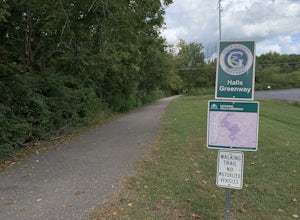
Bike or Run the Halls Greenway
2 miThis place is located right in the middle of Halls Crossroads. There are multiple access points along the Greenway. There is the Halls Community Center which is where the GPS of this adventure will lead you or there is a small parking area next to the Halls Food City. There are other entrances fr...Read more

