Dayton, Virginia
Top Spots in and near Dayton
-
Amherst, Virginia
Mount Pleasant Loop
4.65.98 mi / 1427 ft gainFrom the Mount Pleasant Parking Area, take the blue blazed Pompey Mountain Trail that is just beyond the horse gate. As it's a loop, you can start at either entrance, but I prefer heading left to get the longer leg of the hike before the summit (always better to have an easy journey down in the a...Read more -
Vesuvius, Virginia
Cole Mountain Loop
4.85.89 mi / 1280 ft gainThe large open meadow at the summit of Cole Mountain is a unique and breathtaking experience that is worth the 5.8 mile hike. Cole Mountain is frequently referred to as Cold Mountain, but the official name listed by the United States Geological Survey is the former. This hike is in the George W...Read more -
Davis, West Virginia
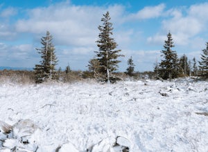
Snowshoe or Cross-Country Ski Dolly Sods
8 mi / 1400 ft gainFrom January to April, the forest roads that provide vehicle access to the Dolly Sods Wilderness in West Virginia are closed. If you're up for a cold weather adventure, park your car (in accordance with the signage and without blocking the road) and hike up the Forest Road 75 near Davis, WV, to B...Read more -
Davis, West Virginia
Dolly Sods Wilderness North Loop via Rocky Ridge Trail
5.012.78 mi / 1378 ft gainThe hike begins at the "Dolly Sods Trailhead Parking" location easily found on Google Maps. The lot is big enough for about 6-8 vehicles. Begin walking at the end of the gravel parking lot/road for about 0.5 miles until you enter the Dolly Sods Wilderness Area in a small grassy field where sever...Read more -
Davis, West Virginia
Bear Rocks Loop
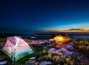
4.710.54 mi / 1293 ft gainThis particular hike is great as there are multiple camping sites, both established and backcountry, and views for miles around almost every bend. Still not convinced? This high-altitude plateau has characteristics typically found in Canadian landscapes. so you can travel north without leaving y...Read more -
Davis, West Virginia
Bear Rocks and Beaver Dam Loop
6.36 mi / 699 ft gainStarting on Bear Rocks Trail, hike down to the Red Creek. Sometimes water levels can be high, but most of the time you can cross the creek without getting any deeper than your knees. Link up with the Raven Ridge Trail and head south. Enjoy the views through this section, as it's a great place to ...Read more -
Maysville, West Virginia
Dolly Sods North Loop via Bear Rocks
5.011.69 mi / 1171 ft gainArguably one of the most beautiful hiking areas on the United States' east coast, the Dolly Sods Wilderness inarguably has the most unique trailhead warning sign: Watch out for unexploded ordinance in the area. (The U.S. Army used the area for artillery and mortar training during WWII.) Don't fre...Read more -
Maysville, West Virginia
Lions Head Loop
5.020.35 mi / 2195 ft gainWhat used to be an artillery testing site during WWII, Dolly Sods is a great place for backpackers of almost any expertise. Water is easily found throughout the wilderness area and while 21 miles might feel like a lot, it is very manageable over the course of 3 days. Attached (at the bottom) is...Read more -
Davis, West Virginia
Photograph Bear Rocks Preserve
5.0The Bear Rocks Preserve is a 477 acre land tract maintained and supported by The Nature Conservancy. Offering a diverse range of plant species more commonly seen in the Northeast, visitors will find blueberries, huckleberries, mountain laurel, azalea, and rhododendron among the sandstone outcrop...Read more -
Davis, West Virginia
Hike the Freeland Boardwalk Trail
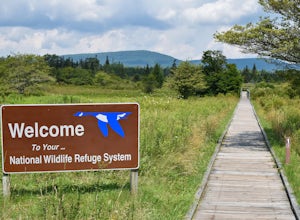
4.00.4 mi / 0 ft gainA free entrance and parking area for about a half dozen cars off Freeland Road features this quick adventure for all ages. The Canaan Valley National Wildlife Refuge and Freeland Boardwalk offers a variety of wildlife and environments like Ponds, Wetlands, Forests, and a natural limestone spring....Read more -
Elkins, West Virginia
Hike to High Falls in Monongahela National Forest
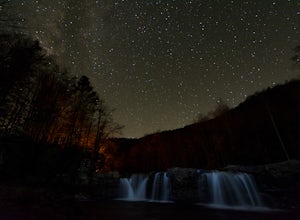
5.08.2 mi / 1440 ft gainThough this beautiful hike is a serious workout, it's actually quite easy to follow. It's also listed on Google Maps - I'd highly recommend downloading the map offline just in case something happens. Starting at the trailhead (park at a pull-off along the gravel road just a few hundred feet befor...Read more


