Dayton, Virginia
Looking for the best photography in Dayton? We've got you covered with the top trails, trips, hiking, backpacking, camping and more around Dayton. The detailed guides, photos, and reviews are all submitted by the Outbound community.
Top Photography Spots in and near Dayton
-
Stanley, Virginia
Big Meadows Loop
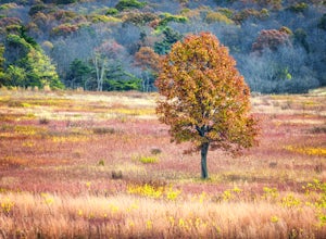
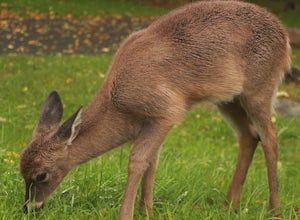
4.71 mi / 30 ft gainBig Meadows is home to many types of wildlife and is a great location to photograph many different types of animals. The best time to see the wildlife in the meadow is near dawn and dusk. White-tailed deer and a variety of local birds are the most common animals seen in the meadow, and because o...Read more -
Stanley, Virginia
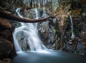
Three Falls Hike
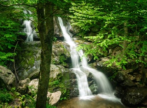
8.3 mi / 2200 ft gainThe Three Falls Hike in Shenandoah National Park will take you past three beautiful waterfalls all found within the central district of the park: Lewis Spring Falls, Dark Hollow Falls, and Rose River Falls. You are able to start the loop from any of the waterfalls’ trailheads, but I prefer to sta...Read more -
Stanley, Virginia
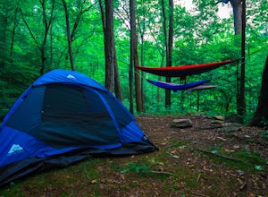
Camp at Big Meadows, Shenandoah National Park
4.4Visiting Shenandoah National Park for the first time can be quite overwhelming. The 109 mile long Skyline Drive, combined with over 500 miles of hiking trails, makes camping is a necessity if you truly want to experience Shenandoah.From the Appalachian thru-hiker to the RV'er, Big Meadows is perf...Read more -
Charlottesville, Virginia
Kayak Beaver Creek Lake
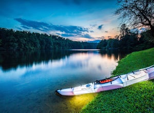
4.3This little lake close to Charlottesville is my favorite place for an after work kayak, SUP, or just picnic by the water. It's a 20min drive from town, and the perfect place to watch the sunset over the Blue Ridge with water views. No gasoline powered motors allowed, but anything else you can g...Read more -
Stanley, Virginia
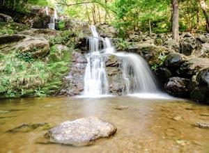
Dark Hollow Falls
4.61.32 mi / 440 ft gainCatch the trailhead to these falls at mile 50.7 on Skyline Drive, just north of Big Meadows Lodge and Campground and the trailhead is just to the left of the parking lot. This is an easy 1.4 mile roundtrip hike, straight down to get to the falls, and straight up to arrive back at your car. Many...Read more -
Basye, Virginia
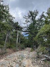
Orkney Springs Trail
4.94 mi / 1440 ft gainEasy to get to from Bryce resort, Orkney Springs Trail is a moderate to challenging trail. It starts with an easy trail through the woods but does get very steep in mile 2 in what seems like a very rocky dried-out river bed. There is a spectacular view around mile 2. If that's what you’re after y...Read more -
Stanley, Virginia
Hike the Rose River Falls to Dark Hollow Falls Loop
5.04 mi / 950 ft gainParking at the trailhead is a few miles north of Big Meadows at the Fisher's Gap Overlook parking area. You will find much more solitude along this loop trail than if you were to park at the Dark Hollow Falls trailhead as the Dark Hollow Falls is much more popular. That makes being able to fin...Read more -
Stanley, Virginia
Backpack Rose River Loop
5.04 mi / 900 ft gainThe trail can be found on Skyline Drive. Though it is a little challenging to locate, you should park at Fisher’s Gap Overlook (mile marker 49.4), and then walk over across the road and find the trail. You'll spot it by looking over the side of the road and then hiking down. The Rose River Loo...Read more -
Stanley, Virginia
Hike to Rose River Falls
4.54 mi / 853 ft gainRose River Falls is often overshadowed by it's more popular cousin, Dark Hollow Falls, as both hikes begin at the same trail head. But because Dark Hollow Falls is such a short and well known hike, it can get extremely crowded. It is also one of the few trails in Shenandoah where dogs are not al...Read more -
Stanley, Virginia
Photograph Spilter Knoll Overlook
5.0The Spitler Knoll is one of 72 overlooks for people to enjoy as they travel through Shenandoah National Park along Skyline Drive. Skyline Drive is the road that winds through the heart of Shenandoah National Park, starting at Front Royal in the north and ending at Rockfish Gap in the south. This...Read more -
Luray, Virginia
Explore the Luray Caverns
4.8The caverns are located in the town of Luray, which is in the Shenandoah Valley of northwest Virginia. They can only be explored by tour, and at first I was hesitant to pay the $26 entrance fee, but after an hour-long tour that blew my mind, I had absolutely no regrets. The tour includes about 30...Read more -
Luray, Virginia
Upper Hawksbill Trail
2.09 mi / 482 ft gainThe trailhead has a small parking area at mile marker 46.7 on Skyline Drive, just past the Old Rag overlook (on the opposite side of the road) if you're driving south. The hike is a 2-mile out-and-back that takes you right to the summit. The first ~2/3 of it is relatively flat and very easy walk...Read more -
Afton, Virginia
Humpback Rocks
4.61.73 mi / 833 ft gainThis little hike is one of the most popular in the area, and for good reason! It's a short and steep one mile to the top, but the views of the Blue Ridge Mountains and Shenandoah National Park to the east, are some of the best around. It's somewhat of a tradition for students from the Universit...Read more -
Madison, Virginia
Fly Fish on the Rapidan River
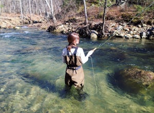
5.05 miPark at the Graves Mill Parking Area. From here you can easily follow the Rapidan River up the mountain. Fishing reports inform that the lowest concentration of brookies are at the lower boundaries of the park so take some time to enjoy the trail and hike up stream. At the lower boundaries you mi...Read more -
Stanley, Virginia
Lower Hawksbill to Salamander to Appalachian Trail Loop
2.68 mi / 666 ft gainThis is one of 2 trails that will take you to the summit of Hawksbill Mountain. The other is the Upper Hawksbill Trail (which I also wrote an adventure about!). This trail is a combination of the Lower Hawksbill Trail, the AT, and the Salamander Trail. The parking are area for this hike is at mi...Read more -
Luray, Virginia
Hike Limberlost Trail in Shenandoah National Park
5.01.3 mi / 114 ft gainThe Limberlost Trail is a loop trail within Shenandoah National Park. It is classified as 'accessible' as the trail is flat and has features that would help those in a wheelchair or with other needs access the trail (boardwalk, bridge, benches). There is little-to-no elevation change and the pat...Read more

