Bland, Virginia
Top Spots in and near Bland
-
Mouth of Wilson, Virginia
Twin Pinnacles via Big Pinnacles Trail
5.02 mi / 525 ft gainTo reach the Big Pinnacle Trail Head, park at the Massie Gap Day Parking area, and then follow the road west (away from Massie Gap) until you reach the trail head located on the left side of the road. Follow the Big Pinnacles Trail for 0.4 miles until it intersects with the Twin Pinnacles Trail....Read more -
Pembroke, Virginia
Hike to Wind Rock
4.70.5 mi / 400 ft gainAt the parking lot cross the gravel road to the trail head that starts at a map posted on the edge of the road. Hike a quick quarter-mile where you'll turn left to a large rocky outcrop with views of the blueridge. You'll pass a campsite with fire ring before the rocky outcrop and overlook. I've ...Read more -
Mouth of Wilson, Virginia
Twin Pinnacles Loop
5.01.35 mi / 157 ft gainPark at the Visitor Center; don't stress when you get to the parking lot and can't see it, it's up the hill. From the parking lot hike across the road and find the staircase. Follow this up to the Visitor Center. If you're standing in front of the Visitor Center, the trailhead will be to the left...Read more -
Troutdale, Virginia
Hike the Appalachian Trail from Elk Garden to Buzzard Rock
5.06.6 mi / 1000 ft gainStarting at the Elk Garden Parking Area hike the Appalachian Trail south (do not cross the road, follow the trail from the parking area). Hike along the trail following the white blazes and at 2.4 miles you'll reach a campsite on your left. This is a great place to camp overnight if you decide to...Read more -
Craig County, Virginia
Hike to Kelly's Knob via the Appalachian Trail
4.34 mi / 500 ft gainThis is a great day hike for families or groups looking to get out for a short hike on the Appalachian Trail in Jefferson National Forest.From 460W Take Blue Grass Trail Rd then a left onto Clover Hollow Rd/State Route 601. Continue on this for 6.7 miles until you reaches an intersection with the...Read more -
Willis, Virginia
Hike Buffalo Mountain
4.72 mi / 700 ft gainCOVID-19 CLOSURE: Due to Covid-19, this trail will be closed effective April 10, 2020 at 8 PM until June 24, 2020. A short 1.0 mile hike to the summit with 700’ elevation gain, the trail switchbacks steeply up to the exposed rocky summit. To the north you can see Sharp Top and Flat Top at the Pe...Read more -
Newport, Virginia
Hike to the Keffer Oak on the Appalachian Trail
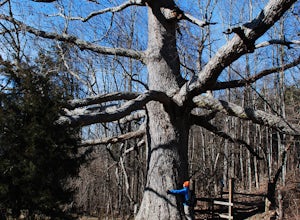
4.32.6 mi / 600 ft gainYou can park your car at the small gravel lot where VA-42 and Rt. 629 intersect. Starting from the Appalachian Trail crossing at VA-42, head north on the AT, which winds through some grass meadows. After about 0.8 miles into the hike you will cross Rt. 630 (Northside Road) on a bridge over Sinki...Read more -
Meadows of Dan, Virginia
Photograph Mabry Mill
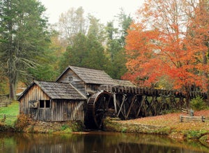
4.7Mabry Mill is one of the most photographed spots on the Blue Ridge Parkway, and rightfully so. Located at MP 176.1 the mill is beautiful in any season and easily accessed from the parking lot. Since this place is so popular, be prepared for crowds.This place is a nice " leg-stretcher" if driving ...Read more -
Sparta, North Carolina
Hike the Bluff Mountain Trail
1.8 mi / 270 ft gainBefore you head out, check the status of the Blue Ridge Parkway (it periodically closes during the winter). The entire Bluff Mountain Trail is a 7.1 mile trail that traverses the Doughton Park Area along the Blue Ridge Parkway. To do this particular hike, park at the bathrooms in the Doughton P...Read more -
Waiteville, West Virginia
Hanging Rock Raptor Observatory
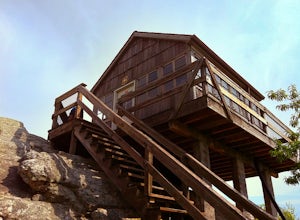
4.81.93 mi / 381 ft gainLocated on Limestone Hill Road north of Waiteville, WV at about 3800 feet above sea level is an old Fire watch tower. The tower, built in 1956 was abandoned in 1972. In 1983 the US Forest Department acquired this area as part of the Jefferson National Forest. Since then the Tower has become know...Read more -
Shady Spring, West Virginia
Sandstone Falls
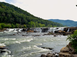
5.00.52 mi / 46 ft gainStarting at the trailhead, follow signs for the falls. After a short walk, hikers will reach the walkway bridge where they can snap a couple shots of the minor Sandstone Falls to the right. Many hikers stop here, thinking these falls are the final destination. Do not make this mistake—the best is...Read more -
Floyd, Virginia
Hike Rock Castle Gorge
4.0This 10.8 mile loop is a very demanding, but very rewarding hike that will take most of the day to complete. The hike can be started from many different locations but in this write-up it starts at the Saddle Overlook on the Blue Ridge Parkway and the loop is in the counter-clockwise direction.Fro...Read more -
Shawsville, Virginia
Hike to Stiles Falls
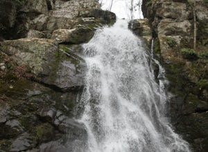
4.83 mi / 500 ft gainPark at the Alta Mons camp parking lot, and start walking the gravel road. There will be signs throughout the trail that lead to the waterfall. Continue down the trail for 1.5 miles. Look out for the white trail markers that indicate the Stiles Falls trail. After 1.5 miles, you will reach the wat...Read more -
Saltville, Virginia
Hike the Great Channels
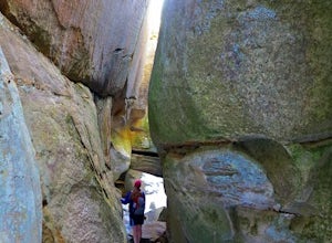
4.86 mi / 1200 ft gainPark at the parking lot at the crest of Clinch Mountain at Hayters Gap on Rt. 80, and walk along the road (Raven Ridge Road) behind the gate. The trail is fairly easy with minimum elevation gain and follows an old road bed almost the whole way. Be sure to keep to the left when the road splits and...Read more -
Traphill, North Carolina
Hike the Stone Mountain Loop
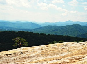
4.5This is a strenuous 4.5 mile hike beginning from the Lower Parking Lot in Stone Mountain State Park (for a 5.2 mile hike, begin at the Upper Parking Lot). From the lot, take the trail by the bathroom. Keep right at the first trail intersection, then left at the second trail intersection to stay ...Read more -
Traphill, North Carolina
Hike to Wolf Rock and Cedar Rock
5.0This easy 3.0 mile hike begins at the Lower Trailhead Parking Lot at Stone Mountain State Park and includes a 400' ascent to two granite outcrops with nice views. This hike can be combined with the Stone Mountain Loop hike for a 6.5 mile strenuous hike.From the parking lot, walk towards the strea...Read more


