Blacksburg, Virginia
Looking for the best photography in Blacksburg? We've got you covered with the top trails, trips, hiking, backpacking, camping and more around Blacksburg. The detailed guides, photos, and reviews are all submitted by the Outbound community.
Top Photography Spots in and near Blacksburg
-
Wytheville, Virginia
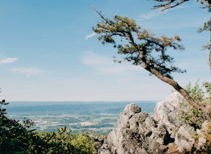
Hike the High Rock Trail
3.02.7 mi / 636 ft gainThe hike to High Rocks begins at a gravel parking lot up a long winding road, seems like forever but really is only mile or two past the quarry when your turn onto the road. The out-and-back hike begins by passing through the two large boulders near the back of the parking lot. The trail leads d...Read more -
Eagle Rock, Virginia
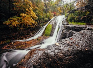
Hike Roaring Run Falls
4.72.4 miFrom 615 (Craig Creek rd) you turn on to 621 (Roaring Run rd) and about mile down is a little gravel road on the left that you turn down. Go down this gravel road a little ways to reach the parking area, you'll know you're there when you see a big gate held up by two stone pillars. Once you are r...Read more -
Camp Creek, West Virginia
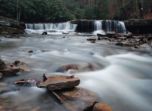
Photograph Mash Fork and Campbell Falls in Camp Creek SP
5.0Right off interstate I-77, Camp Creek State Park has two waterfalls that you can easily access: Mash Fork Falls and Campbell Falls. These falls can both have very low flows in late summer, so try to plan your visit for times of higher flows (early spring or after a rain). Mash Fork Falls is in th...Read more -
Eagle Rock, Virginia
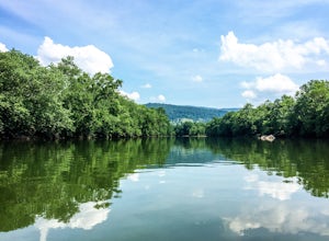
Canoe or Kayak the Upper James River
4.3Put in at the Horseshoe Bend Boat Ramp near Buchanan, VA. The pin on the map will take you right there. Takeout will be at the boat ramp in downtown Buchanan, approximately 9 miles down river. This ramp is located just above the Rt. 11 bridge.Twin River Outfitters uses this ramp also, so there's ...Read more -
Shady Spring, West Virginia
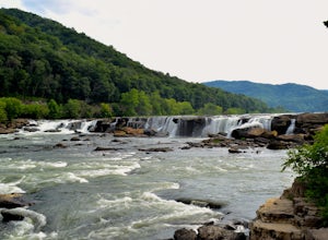
Sandstone Falls
5.00.52 mi / 46 ft gainStarting at the trailhead, follow signs for the falls. After a short walk, hikers will reach the walkway bridge where they can snap a couple shots of the minor Sandstone Falls to the right. Many hikers stop here, thinking these falls are the final destination. Do not make this mistake—the best is...Read more -
Bedford, Virginia
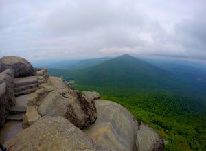
Sharp Top Trail
4.72.91 mi / 1296 ft gainOnce thought to be the highest peak in Virginia, this 2.5 hour hike is one that will leave you speechless at the top. Park at the Peaks of Otter Nature Center (which is now closed). The trailhead is located to the right of the building. You will cross over a paved bus road soon after beginning th...Read more -
Buchanan, Virginia
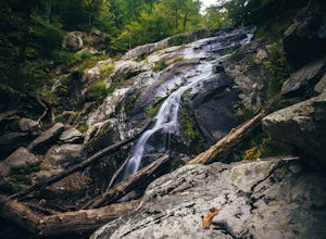
Hike to Fallingwater Cascades
4.5The trailhead for this hike is at the same parking area for the Flat Top Trail. From the Peaks of Otter Visitor Center, travel north up the Blue Ridge Parkway for about 3 miles, where you will come to small parking area. It is quite tiny, and probably holds around 10 vehicles, but there was only ...Read more -
Buchanan, Virginia
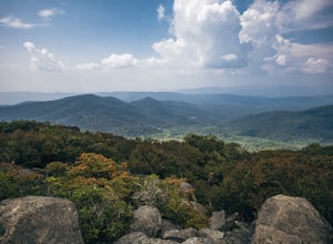
Hike Flat Top Mountain
4.5From the Peaks of Otter Visitor Center, travel north up the Blue Ridge Parkway for about 3 miles, where you will come to small parking area for the Flat Top Trailhead. The parking area is quite tiny, and probably holds around 10 vehicles, but there was only one other car there when I went. It's p...Read more

