Barboursville, Virginia
Looking for the best hiking in Barboursville? We've got you covered with the top trails, trips, hiking, backpacking, camping and more around Barboursville. The detailed guides, photos, and reviews are all submitted by the Outbound community.
Top Hiking Spots in and near Barboursville
-
Front Royal, Virginia
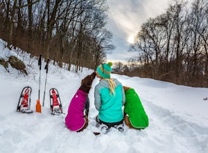
Explore Skyline Drive In Winter
4.5Skyline Drive is a winding highway that cuts straight through Shenandoah National Park. Being that we are in the south, you will find that the road is closed for the majority of the winter, and usually at the very mention of snow. The first few years of living here it was incredibly frustrating...Read more -
Tyro, Virginia
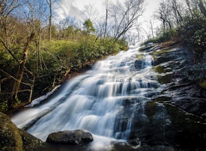
Crabtree Falls
4.53.05 mi / 1161 ft gainThis is an approximately 3 mile roundtrip hike. It will usually take anywhere from 1-2 hours to get up, depending on your experience and who you have with you, and about an hour down. As you come off of route 56, you will come up to the trailhead where there is a large parking area with restroom...Read more -
Dayton, Virginia
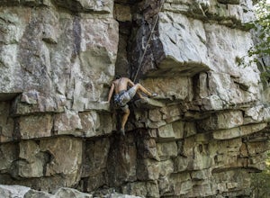
Climb Hidden Rocks
5.0Amazing rock climbing can be found just outside Harrisonburg, VA at a series of crags hiding in the beautiful landscape of GW National Forest. Hidden Rocks offers amazing climbing and bouldering for intermediate level or well-guided beginners.Near the end of Hone Quarry Road is a small, self-pay ...Read more -
Raphine, Virginia
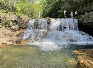
Saint Mary's Wilderness
4.56.03 mi / 538 ft gainSaint Mary's Wilderness is an out-and-back trail that takes you by a waterfall located near Vesuvius, Virginia.Read more -
Raphine, Virginia
Hike to Saint Mary's Falls
4.84.4 mi / 300 ft gainSaint Mary's Wilderness is one of Virginia's largest designated wilderness areas and is an old iron ore mining area. There are two ways to get to Saint Mary's Falls and this Blue Ridge adventure will start you off at the parking area off Saint Mary's Road. Once on Saint Mary's Road, you will dr...Read more -
Tyro, Virginia
The Priest via Shoe Creek Trail
4.43.01 mi / 843 ft gainStarting at the Upper Crabtree Falls Parking area, continue up the "road" on Shoe Creek Trail for half a mile until you come to the intersection of the Appalachian Trail. That will be the steepest part of the hike. Look for two rocks on either side of the trail with white blazes on them. Take a l...Read more

