Appalachian Trail, Virginia
Looking for the best hiking in Appalachian Trail? We've got you covered with the top trails, trips, hiking, backpacking, camping and more around Appalachian Trail. The detailed guides, photos, and reviews are all submitted by the Outbound community.
Top Hiking Spots in and near Appalachian Trail
-
Blowing Rock, North Carolina
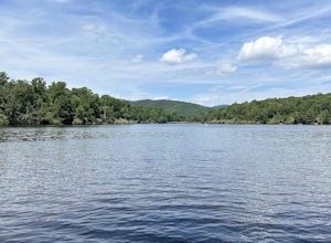
Price Lake Loop Trail
5.02.23 mi / 387 ft gainPrice Lake Loop Trail is a loop trail that takes you by a lake located near Blowing Rock, North Carolina.Read more -
Blowing Rock, North Carolina
Camp and Paddle at Price Lake
This campground is all kinds of amazing, and if you get one of the sites in the A loop, you will have lakefront property (just be warned, if I see you there, I'll have to crash with you ;-). Price Lake is a gorgeous lake right off the Blue Ridge Parkway in North Carolina and perfect for canoeing...Read more -
Bluff City, Tennessee
Spelunk Worley's Cave
5.03.5 mi / 100 ft gainWorley’s Cave, also known as Morrill Cave, lies just outside of Boone across the Tennessee border. It is the second longest cave in the state of Tennessee at a whopping 4.4 miles in total length. It is a non-lit cavern that’s path is lit only by those who venture in its depths (i.e. headlamps, la...Read more -
Elk Park, North Carolina
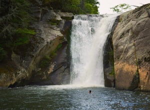
Elk River Falls
4.60.35 mi / 62 ft gainThe coordinates for the parking area are 36.198288, -81.970137. You'll see a parking area that's dirt/gravel on the right side of the road. At the far end of the parking lot is a sign that says Elk River Falls with an arrow pointing up the hill. From this point its about a .2 mile long walk to th...Read more -
Banner Elk, North Carolina
Calloway Peak via Daniel Boone Scout Trail
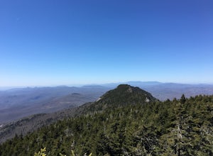
5.06.31 mi / 1991 ft gainAt 5,946 feet, Calloway Peak provides hikers with perhaps the best view of North Carolina's Blue Ridge Mountains. You'll have to earn this view - it is a tough climb up, although not terribly long. Begin at the trailhead for Tanawha Trail in the Boone Fork Parking Area on the Blue Ridge Parkway....Read more -
Banner Elk, North Carolina
Explore Boone Fork Creek
0.25 mi / 75 ft gainBoone Fork Bridge and creek is situated at the base of Grandfather Mountain, on the Blue Ridge Parkway, milepost 299.9. Elevation 3905'.The trailhead is at the left side of Boone Fork Creek parking area and the trail is a gentle meander through Rhododendrons and a hardwood forest.As you head tow...Read more -
Traphill, North Carolina
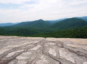
Hike the Stone Mountain Loop
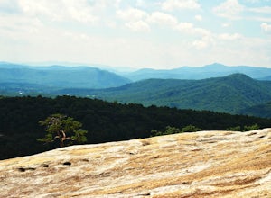
4.5This is a strenuous 4.5 mile hike beginning from the Lower Parking Lot in Stone Mountain State Park (for a 5.2 mile hike, begin at the Upper Parking Lot). From the lot, take the trail by the bathroom. Keep right at the first trail intersection, then left at the second trail intersection to stay ...Read more -
Traphill, North Carolina
Hike to Wolf Rock and Cedar Rock
5.0This easy 3.0 mile hike begins at the Lower Trailhead Parking Lot at Stone Mountain State Park and includes a 400' ascent to two granite outcrops with nice views. This hike can be combined with the Stone Mountain Loop hike for a 6.5 mile strenuous hike.From the parking lot, walk towards the strea...Read more -
Linville, North Carolina
Profile Trail to Calloway Peak
5.06.2 mi / 2300 ft gainIf you're looking for a challenge and hoping to escape the crowds at Grandfather Mountain, this is the hike for you. Climbing up the back side of the mountain (opposite the famed mile-high swinging bridge) this trail is fee-free and easy-to-access with its own parking lot. The trail, marked w...Read more -
Hampton, Tennessee
Hike to Laurel Fork Falls
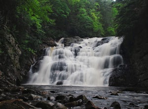
4.62.6 mi / 600 ft gainFrom Hampton, Tennessee, take US-321S for about 3.5 miles. Turn right onto Dennis Cove Road and travel for 4 miles on this steep and very curvy mountain road. The trailhead is where the Appalachian Trail (AT) crosses the road at a small gravel lot on the left. Take the AT north on the trail lea...Read more -
Hampton, Tennessee
Hike and Traverse the Cables to Dennis Cove Falls
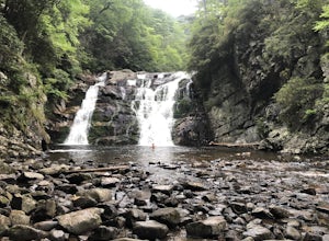
5.03.2 mi / 300 ft gainThe Hike to Dennis Cove Falls includes three water crossings and passes several small waterfalls. Sturdy cables spanning the width of the water crossings provide a fun way of traversing the creek without wading. It is completely possible to wade through the creek while holding onto the cables for...Read more -
Hampton, Tennessee
Appalachian Trail: Dennis Cove to Watauga Lake
8.08 mi / 1955 ft gainAppalachian Trail: Dennis Cove to Watauga Lake is a point-to-point trail that takes you by a waterfall located near Hampton, Tennessee.Read more -
Hampton, Tennessee
Appalachian Trail: Dennis Cove to US 19E
21.27 mi / 4843 ft gainAppalachian Trail: Dennis Cove to US 19E is a point-to-point trail that takes you through a nice forest located near Roan Mountain, Tennessee.Read more -
Hampton, Tennessee
Laurel Falls via Appalachian Trail
5.02.43 mi / 449 ft gainLaurel Falls via Appalachian Trail is an out-and-back trail that takes you by a waterfall located near Hampton, Tennessee.Read more -
Seven Devils, North Carolina
Calloway Peak via Profile Trail
7.11 mi / 2493 ft gainCalloway Peak via Profile Trail is an out-and-back trail with waterfall views located near Banner Elk, North Carolina in Grandfather Mountain State Park.Read more -
Appalachian Trail, Tennessee
Jones Falls via Appalachian Trail
5.010.65 mi / 2484 ft gainStarting at the Appalachian Trail (AT) trailhead at US 19E, follow the AT north for 3.1 miles until you reach the intersection of the trail with Buck Mountain Rd. This section of the AT has an elevation gain of almost 1000 ft, and large sections of trail with significant meadows offering magnific...Read more

