Woodford, Vermont
Looking for the best photography in Woodford? We've got you covered with the top trails, trips, hiking, backpacking, camping and more around Woodford. The detailed guides, photos, and reviews are all submitted by the Outbound community.
Top Photography Spots in and near Woodford
-
Williamstown, Massachusetts
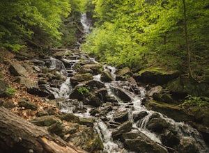
Hike Mt. Greylock via Money Brook Trail
9.7 mi / 3034 ft gainPark in the parking lot on Hopper Rd. Walk to the end of the road where you will find the Hopper Trailhead. Take the right fork. The Money Brook trail will take you to a waterfall, the Mt. Greylock summit, and back to the end of Hopper Rd. The trail is long but worth the hike, exploring parts of ...Read more -
Williamstown, Massachusetts
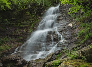
Hike the March Cataract Falls Trail
4.02.2 mi / 511 ft gainPark at the Junction of Sperry Rd and Rockwell Rd. To get to the trailhead, hike along Sperry Road for about 30 minutes. (Not to the end of the road, see map below.) Then hike along the March Cataract Trail, an out-and-back. You can bring dogs on leash. The trail is short but steep in some parts ...Read more -
Savoy, Massachusetts
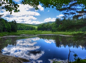
Tannery Falls Loop
0.54 mi / 135 ft gainThe hike to Tannery Falls may be a little confusing, I'll clear it up for you before you even go there! To get to The falls you will travel down a dirt road that isn't very well maintained during the winter. As you keep driving down the dirt road you will notice a pond , which means you are almos...Read more -
Dorset, Vermont
Hike 'The Merck'
4.02.5 miOf the 10 trails at The Merck, The Wildlife Trail is a great hike through the forest that offers you the best way to see wildlife, streams and tracks. You can do the whole hike as a loop in about 2-2 1/2 hours or shorten it up with some shortcuts if you just want a quick hike. Great for family ...Read more -
Cohoes, New York
Capture a Sunset at the Colonie Town Park
5.0Not all adventures have to involve scaling crazy-steep mountains or paddling down intense white-water rapids. Some of the best adventures are the relaxing and mellow ones right in our backyards. When I cannot get into the woods every day, I go to the Colonie Town Park, just 10 minutes from my hou...Read more -
Schenectady, New York
Hike the Lisha Kill Preserve Loop
5.02.3 mi / 324 ft gainThis 2.3 mile loop trail is lightly trafficked and great for all skill levels. Starting out the trail register, you will see signs from The Nature Conservancy which manages the preserve. Descending down a hill with lots of exposed tree roots, you will then cross over the meandering Lisha Kill and...Read more -
Wallingford, Vermont
Hike the White Rocks Ice Beds Trail
1.6 mi / 180 ft gainThis 1.6 mile round trip hike starts from the Ice Beds parking lot in the Green Mountain National Forest in Vermont. The trailhead is close to the parking lot entrance, following the blue-blazed trail. Be sure to read the signs, as the far trailhead is a hike to the cliffs, not the ice beds. Af...Read more -
Poultney, Vermont
Camp on Mount St. Catherine
5.0Looking for the best view in all of Poultney, Vermont? Look no further than Lake St. Catherine Mountain. Located within Deane's Nature Preserve, this fast and easy hike tops as one of the best views and camping spots for the little time and energy needed to reach the summit. Only 30-45 minutes fr...Read more -
Great Barrington, Massachusetts
Hike Monument Mountain
4.02 mi / 720 ft gainAt 1642 feet (with a total elevation gain of 720 feet), Squaw Peak is a great spot to see both Mt Greylock along the Vermont border, and the Catskills in New York. There are several trail options here to get to the summit, but no matter which combination you choose, you can keep your trip under ...Read more -
Voorheesville, New York
Hike the Keleher Preserve Loop
2.03 mi / 1636 ft gainThe historic preserve is operated by the Mohawk Hudson Land Conservancy, so trails are clearly marked and extremely well maintained. There are features of the original farm that the land was used for from the 18th Century, including hand-thrown stone walls and an old logging road that cuts throug...Read more -
Altamont, New York
Hike through the Wolf Creek Falls Preserve
3.03 mi / 200 ft gainOver 3 miles of trails provide access to all parts of the preserve, and end up winding through mixed terrain including a wetland, waterfalls, and old stone walls. The property crosses the Bozenkill Road at two points on either side of private parcels (with beautiful homes), so be vigilant there; ...Read more

