Poultney, Vermont
Looking for the best hiking in Poultney? We've got you covered with the top trails, trips, hiking, backpacking, camping and more around Poultney. The detailed guides, photos, and reviews are all submitted by the Outbound community.
Top Hiking Spots in and near Poultney
-
Johnsburg, New York
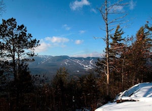
Hike Crane Mountain
4.54.6 mi / 1100 ft gainAt the trail register stay to your right at the fork in the trail. The left trail will be where you return. At approximately 0.5 miles you will reach an open ledge area, as you look up a rock cairn will mark where you pick up the trail. At 0.8 miles you will reach the first of two ladders to a...Read more -
Woodstock, Vermont
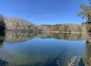
The Pogue and Mount Tom Trail
4.38 mi / 751 ft gainThe Pogue and Mount Tom Trail is a loop trail that takes you by a lake located near Woodstock, Vermont.Read more -
Hadley, New York
Hike the Adirondack's Hadley Mountain
5.03.6 mi / 1545 ft gainHadley Mountain historically has faced its share of forest fires. The fires left thin soil, leading to more exposed rock on this fairly quick, scenic hike. Due to the rockiness, when you're thinking about heading out for this hike, be sure to grab a sturdy pair of hiking boots or at least your st...Read more -
368 Weathersfield Trail, Vermont
Hike Mount Ascutney
3.05.2 mi / 2326 ft gainThis route to the top of Mount Ascutney is completed via the Weathersfield Trail. This trail goes past gorgeous Cascade Falls - often frozen in the winter months. There is a great spot to eat lunch at the top of Mount Ascutney to the side of the hang glider landing. While the summit itself does n...Read more -
North Creek, New York
Hike Gore Mountain
5.010 mi / 3040 ft gainYou will start this hike following the blue blazed Schaefer trail. Though the sign shows 5.8 miles to the summit it is actually only 5.0 miles. Much of the way you follow Roaring Brook which has many waterfalls along the way. Just after the North Creek Reservoir you will get your first glance at...Read more -
Hartford, Vermont
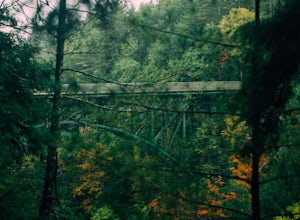
Camp at Quechee State Park
4.0Located on the Ottauquechee River, Quechee State Park offers camping options right beside one of Vermont's most famous gorges—Quechee Gorge. The steel bridge that passes over the 165 ft. gorge is just one of many spectacular views in this area. Quechee State Park is on Route 4 and easily accessi...Read more -
Warren, Vermont
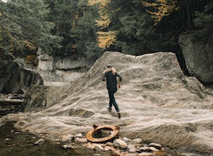
Explore Warren Falls
5.00.25 miWarren Falls is a popular local swimming hole just outside of Warren, VT on Route 100. You can access the falls by driving south on Route 100 from Warren (it's 3.5 miles south on the right hand side) or north from Granville on Route 100. The parking lot is clearly marked with a sign and ample par...Read more -
Woodford, Vermont
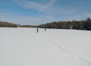
Woodford State Park Loop
2.41 mi / 203 ft gainA great loop for the summer, Woodford is also amazing when winter winter comes to the State Park. It also comes earlier than just about anywhere else in Southern Vermont. At 2,400 feet above sea level, this is an easy spot to find winter without spending a fortune at the local ski resorts. Woodfo...Read more -
Keene Valley, New York
Backpack the Dix Range
4.517 miDay 1The trail begins about a mile past the intersection of Rt. 73 and Rt. 9 just east of a bridge over the North Fork Boquet River. Note: this trail is unmarked, so be sure to have an accurate map of the area. I recommend going to The Mountaineer store in Keene Valley and asking one of the cler...Read more -
Indian Lake, New York
Hike to OK Slip Falls
5.06.4 miStarting at the parking area you will walk 0.2 miles west on Route 28 to the north side of the road to locate the marked trailhead. After signing the trail register you will follow the the red marked trail approximately 0.5 miles to the first junction. At the junction you will branch right and f...Read more

