Ludlow, Vermont
Looking for the best hiking in Ludlow? We've got you covered with the top trails, trips, hiking, backpacking, camping and more around Ludlow. The detailed guides, photos, and reviews are all submitted by the Outbound community.
Top Hiking Spots in and near Ludlow
-
Orange, New Hampshire
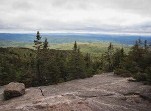
Hike Cardigan Mountain via the West Ridge Trail
4.73 mi / 1200 ft gainCardigan Mountain is located in Cardigan Mountain State forest just outside of Canaan, New Hampshire. Just make sure to go to The Cardigan Mountain state park parking lot, via Cardigan Mountain Road and not the AMC Cardigan Lodge. The trail begins right from the parking lot where there is a port...Read more -
Clemons, New York
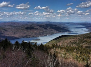
Hike to Black Mountain in Lake George, NY
6.7 mi / 1046 ft gainBlack Mountain is located on the Eastern side of Lake George and is the tallest mountain above Lake George. The trailhead is located on Pike Brook Road (off from Hulett's Rd, Route 6) in Clemons, NY. The parking area is about one mile up Pike Brook Road, on the right.This hike to Black Mountain i...Read more -
Alexandria, New Hampshire
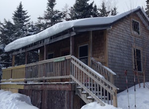
High Cabin
5.04 mi / 1275 ft gainHigh Cabin, located in Cardigan State Forest, is owned and operated by the Appalachian Mountian Club (AMC). It was originally built in 1931 and since renovated in 2004. Renovations included a new roof, siding, bunk beds, a wood stove, and a composting toilet. It comes supplied with wood, bunks(st...Read more -
Fort Ann, New York
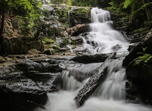
Hike to Shelving Rock Falls
1 mi / 50 ft gainThe hike to beautiful Shelving Rock Falls is only a half mile and well worth the side trip if visiting the east side of Lake George. Shelving Rock Road, the road to the parking area, is long, winding, and unpaved, but maintained pretty well and passable in a sedan. You'll want to take the road a...Read more -
Fort Ann, New York
Hike Shelving Rock Mountain
3.4 mi / 650 ft gainThe trailhead for Shelving Rock Mountain has enough room for about five cars but additional parking can be found on the road leading to it. Be sure to sign the log book and begin the hike by passing around the "stop" car barrier.The trail starts off following a small stream (on your right) but yo...Read more -
Jaffrey, New Hampshire
Summit Mt. Monadnock via Marlboro Trail
5.04 mi / 2300 ft gainStart at the Marlboro Trailhead (you can enter this in Google maps) off Shaker Road. There's parking and porta-potty bathrooms. The trail is well-marked with white dashes/M marks all the way up. Once on trail, the initial 800 ft climb is through forested terrain with a few brooks and streams alon...Read more -
Jaffrey, New Hampshire
Hike MT Monadnock via White Arrow Trail
4.3 mi / 1485 ft gainArriving at the Old Toll Road/Halfway House Trail head you will have $5 entrance fee. Starting on the Old Toll road you'll find yourself walking on a gradual incline into the beautiful New Hampshire wilderness. Everything you see and smell is fresh and vibrant. Following the road for 1.1 miles yo...Read more -
Warren, Vermont
Explore Warren Falls
5.00.25 miWarren Falls is a popular local swimming hole just outside of Warren, VT on Route 100. You can access the falls by driving south on Route 100 from Warren (it's 3.5 miles south on the right hand side) or north from Granville on Route 100. The parking lot is clearly marked with a sign and ample par...Read more -
Jaffrey, New Hampshire
Mount Monadnock via White Dot Trail
4.43.46 mi / 1699 ft gainMonadnock State Park is located in and around the 3,165-ft. Mount Monadnock. Mount Monadnock is crisscrossed by many miles of well-maintained hiking trails. The popular White Dot Trail (2.2 miles) is the shortest but steepest ascent to the summit, accessible from the Monadnock State Park headquar...Read more -
Jaffrey, New Hampshire
Mount Monadnock via White Dot & White Cross Loop
4.53.7 mi / 1686 ft gainThe White Dot Trail is the shortest, steepest ascent to the summit, while White Cross has a slightly easier grade down with very little difference in distance. Therefore, per the park's rangers, the best way to conquer this loop is White Dot up, White Cross down.The White Dot Trail begins at Mon...Read more

