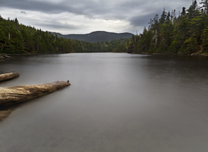
Goshen, Vermont
Top Spots in and near Goshen
-
Keene Valley, New York
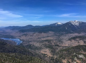
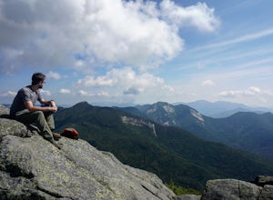
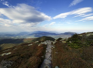
Hike to Mount Colvin and Blake Peak
4.014.6 mi / 4000 ft gainMount Colvin and Blake Peak are located along the Colvin Range in the High Peaks Wilderness. Mount Colvin is number 39 on the 46er list, at 4,057 feet. Blake Peak is is number 43 on the list, at 3,960 feet, although new surveying methods discovered this summit just short of 4,000 feet, tradition ...Read more -
Keene Valley, New York
Hike Rooster Comb Mountain
5.2 mi / 1795 ft gainTake in two unique views of the Adirondacks on one hike. Rooster Comb offers a great 5.2 mile round trip hike that gives you some unique vantage points. Starting from the parking lot you cross over a nice wooden bridge to the trail registry. Remember to sign in. Next you'll come up on a pond in w...Read more -
Keene Valley, New York
Climb Haystack, Basin & Saddleback
18 miThis hike starts in the Garden Parking Lot in Keene Valley, NY. The Garden parking lot (operated by the town of Keene) costs $7 per day from late April through the end of October (2014 rate). An attendant is on duty 1 p.m.-7 p.m. Fridays and 7 a.m.-7 p.m. Saturdays, Sundays, and holidays. Town e...Read more -
Stowe, Vermont
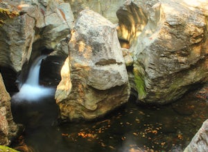
Hike to Bingham Falls
4.00.5 miHiking to Bingham Falls is rewarding for many reasons; people not only come to see the falls, but also to swim in the refreshing, icy cold swimming holes as well. The main falls are tucked away along the walls of a deep, rocky gorge that has been formed naturally over time. At the base of these ...Read more -
Groton, Vermont
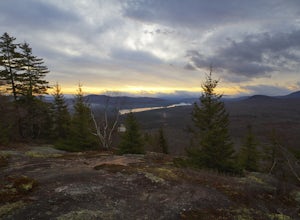
Hike to Owl's Head Trail Overlook
3.03 mi / 200 ft gainStarting at 1746 ft of elevation, this easy 3 mile hike (RT) pays off with a dramatic view of Lake Groton, Kettle Pond and the Green Mountains of Vermont. The trail head begins in New Discovery Park, along the dirt road to Osmore Pond. There is room to pull off the dirt road and park near the t...Read more -
Stowe, Vermont
Mt. Mansfield via the Long Trail
5.05.27 mi / 2743 ft gainThere are several options to reach the summit of Mount Mansfield. The Toll Road (which, appropriately, has a toll to use it), the Laura Cowles trail, the Sunset Ridge trail, Haselton Trail, the Hellbrook Trail… The most popular trail from the east side of the mountain, however, is the section o...Read more -
Keene, New York
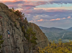
Rock Climb Owl's Head Mountain
Owls Head Mountain is a hot spot when it comes to hiking. For climbers, it's a great crag to hone in your skills and practice moving fluidly. The height of the wall is on the smaller side, I'd say somewhere around 50-55 feet. The view and rock quality, however, that is the real draw. Once you've...Read more -
Glen Road, Vermont
Hike the Lye Brook Falls Trail
4.04.7 mi / 938 ft gainThe Lye Brook Falls Trail is a 4.7 mile hike through scenic trails just outside of Manchester Center, Vermont. The trail is open year-round, but the best time to go is during spring blooms or to see the fall colors. This hike is family friendly and fun for all ages. Dogs are allowed on this trail...Read more -
Cambridge, Vermont
Spruce Peak and Sterling Pond Loop
5.03.38 mi / 1204 ft gainIf you're in New England during September or early October, a drive up north into Vermont is an absolute must for prime fall foliage. I-89 brings you through the state from I-93, and is in itself a beautifully scenic drive. Stowe, Vermont is a small ski resort town located just outside of Mt. Man...Read more -
Cambridge, Vermont
Sterling Pond Trail
5.02.28 mi / 876 ft gainSterling Pond trail begins across the street from a parking area on Route 108, about 3 miles south of Smugglers' Notch Resort. Keep in mind that the road is closed to vehicles once the snow falls, so if you want to hike this area in the winter, you'll have to park about 40 minutes away and hike ...Read more

