Dorset, Vermont
Looking for the best hiking in Dorset? We've got you covered with the top trails, trips, hiking, backpacking, camping and more around Dorset. The detailed guides, photos, and reviews are all submitted by the Outbound community.
Top Hiking Spots in and near Dorset
-
Woodstock, Vermont
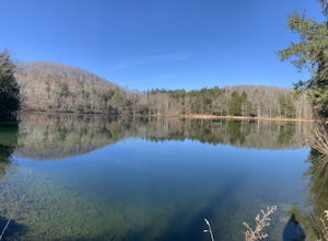
The Pogue and Mount Tom Trail
4.38 mi / 751 ft gainThe Pogue and Mount Tom Trail is a loop trail that takes you by a lake located near Woodstock, Vermont.Read more -
Williamstown, Massachusetts
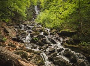
Hike Mt. Greylock via Money Brook Trail
9.7 mi / 3034 ft gainPark in the parking lot on Hopper Rd. Walk to the end of the road where you will find the Hopper Trailhead. Take the right fork. The Money Brook trail will take you to a waterfall, the Mt. Greylock summit, and back to the end of Hopper Rd. The trail is long but worth the hike, exploring parts of ...Read more -
Williamstown, Massachusetts
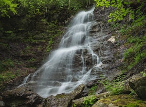
Hike the March Cataract Falls Trail
4.02.2 mi / 511 ft gainPark at the Junction of Sperry Rd and Rockwell Rd. To get to the trailhead, hike along Sperry Road for about 30 minutes. (Not to the end of the road, see map below.) Then hike along the March Cataract Trail, an out-and-back. You can bring dogs on leash. The trail is short but steep in some parts ...Read more -
Hadley, New York
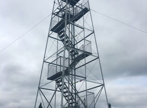
Hike the Adirondack's Hadley Mountain
5.03.6 mi / 1545 ft gainHadley Mountain historically has faced its share of forest fires. The fires left thin soil, leading to more exposed rock on this fairly quick, scenic hike. Due to the rockiness, when you're thinking about heading out for this hike, be sure to grab a sturdy pair of hiking boots or at least your st...Read more -
Hartford, Vermont
Camp at Quechee State Park
4.0Located on the Ottauquechee River, Quechee State Park offers camping options right beside one of Vermont's most famous gorges—Quechee Gorge. The steel bridge that passes over the 165 ft. gorge is just one of many spectacular views in this area. Quechee State Park is on Route 4 and easily accessi...Read more -
Savoy, Massachusetts
Tannery Falls Loop
0.54 mi / 135 ft gainThe hike to Tannery Falls may be a little confusing, I'll clear it up for you before you even go there! To get to The falls you will travel down a dirt road that isn't very well maintained during the winter. As you keep driving down the dirt road you will notice a pond , which means you are almos...Read more -
Salisbury, Vermont
Camp at Lake Dunmore
The campground office for Branbury state park is on the opposite side of Route 53 from the pin on the map here, but the best campsites are where the pin is. Start by going and talking to the rangers at the office, they are super friendly and very helpful for recommendations of hikes or things to...Read more -
Ticonderoga, New York
Hike to Lost Pond
3.9 mi / 260 ft gainFrom the parking area, follow the trail from the back of the parking area. Very quickly you will hike up to a trail register. The trail is mostly flat with a few inclines and is very well beaten. There are also yellow plastic trail markers to keep you on track. After 1.4 miles you'll reach the ju...Read more -
Johnsburg, New York
Hike Crane Mountain
4.54.6 mi / 1100 ft gainAt the trail register stay to your right at the fork in the trail. The left trail will be where you return. At approximately 0.5 miles you will reach an open ledge area, as you look up a rock cairn will mark where you pick up the trail. At 0.8 miles you will reach the first of two ladders to a...Read more -
Hancock, Vermont
Hike at Texas Falls Recreation Area
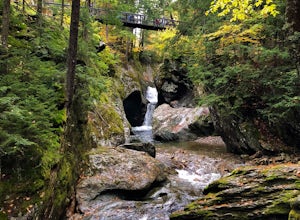
5.01 mi / 209 ft gainDirectly across from the main parking area are the viewing access points of Texas Falls. A footbridge crosses high above the flume and gorge, offering the best views. Crossing the bridge, there are plenty of other great view points with wooden railings keeping you away from the steep drops. ...Read more -
Schenectady, New York
Hike the Lisha Kill Preserve Loop
5.02.3 mi / 324 ft gainThis 2.3 mile loop trail is lightly trafficked and great for all skill levels. Starting out the trail register, you will see signs from The Nature Conservancy which manages the preserve. Descending down a hill with lots of exposed tree roots, you will then cross over the meandering Lisha Kill and...Read more

