Wellsville, Utah
Looking for the best hiking in Wellsville? We've got you covered with the top trails, trips, hiking, backpacking, camping and more around Wellsville. The detailed guides, photos, and reviews are all submitted by the Outbound community.
Top Hiking Spots in and near Wellsville
-
Layton, Utah
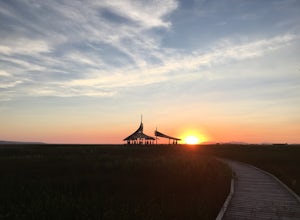
Stroll through the Great Salt Lake Shorelands Preserve
5.01 miThe wetlands of The Nature Conservancy's Great Salt Lake Shorelands Preserve are a unique system of salt and fresh water marshes, ponds, pools, sloughs and mudflats. It is a rich feeding ground for tens of thousands of migrating birds, making this destination a birder's paradise.Great for all ski...Read more -
Corinne, Utah
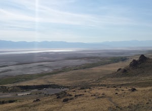
Camp by the Spiral Jetty
5.0This spot is pretty wild and barren. Head there with an open mind and be ready to have an amazing experience. Some things to look out for: The Spiral Jetty is land art itselfThere's a guest book, which is kept in a green bag under the rocks near the parking lot. This book has the invoice for the ...Read more -
Davis County, Utah
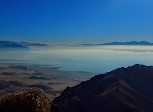
Hike the Buffalo Point Trail on Antelope Island
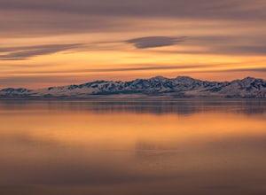
4.01 mi / 300 ft gainAntelope Island State Park is a gem within the Utah State Park system. With over 28,000 acres, it is the biggest island located in the Great Salt Lake...the largest salt water lake in the Western hemisphere. It is incredibly scenic, with beautiful shoreline and beaches, grassy plains, mountaino...Read more -
Syracuse, Utah
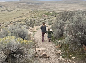
Buffalo Point Trail
5.00.95 mi / 253 ft gainBuffalo Point Trail is a heavily trafficked out-and-back trail that takes you by a lake located near Syracuse, Utah.Read more -
Davis County, Utah
Hike Frary Peak Trail on Antelope Island
5.06.4 mi / 2030 ft gainThe Frary peak trail is the highest point of Antelope Island and can be found a short drive off of I-15 north on Antelope Drive near Layton. There is a fee to access the island, but well worth it. When you get to the island, head left along the east side of the island toward Fielding Garr Ranch. ...Read more -
Davis County, Utah
Hike the Frary Peak Trail
4.57 mi / 2050 ft gainThis is a fairly easy hike starting at the parking lot near the trailhead. You will encounter little or no obstacles on your hike, just a nice incline leading you to the highest point of the island.You will be able to see lots of buffalo roaming around most of the island on your way up. Be sure t...Read more -
Centerville, Utah
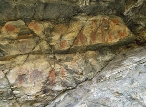
Hike to the Parrish Creek Pictographs
4.71 mi / 200 ft gainThe petroglyphs are pretty easy to find and it is such a short hike you can do it in about 45 minutes. To get to the trailhead, drive to Centerville, Utah and take 400 N all the way towards the mountain. The road with curve to the right with a small dirt road heading to the left. Take the dirt ro...Read more

