Wallsburg, Utah
Looking for the best chillin in Wallsburg? We've got you covered with the top trails, trips, hiking, backpacking, camping and more around Wallsburg. The detailed guides, photos, and reviews are all submitted by the Outbound community.
Top Chillin Spots in and near Wallsburg
-
Peoa, Utah
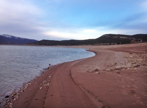
Camp at the Rockport State Park Yurts
The yurts at Rockport are a great way to get out into nature. You can chose between yurts or cabins. Yurts cost $70 a night and cabins cost $80 a night. Spots will have to be secured with reservations in advance. You can find more information at http://rockportmarina.checkfront.com/reserve/. Ther...Read more -
Kamas, Utah
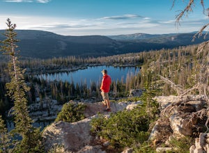
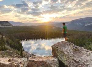
Hike to Island Lake
5.09 mi / 1000 ft gainThere are many lakes in this area, but Island Lake is the only one with epic cliff jumping. You can camp anywhere around the lake and campfires are permitted.The cliff is best to jump off mid summer when the water is the warmest, but it's always pretty cold. The cliffs are about 30-50 feet tall. ...Read more -
Kamas, Utah
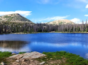
Hike to Weir Lake
5 mi / 800 ft gainWeir Lake is one of many mountain lakes located in the High Uintas near Kamas, Utah. The trail can be accessed off the Mirror Lake Scenic Byway about 33 miles east of Kamas and starts at the Crystal Lake Trailhead. There is a parking lot near the start of the trailhead, but expect it to be fairly...Read more -
Kamas, Utah
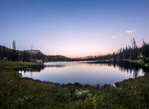
Camp at Fire Lake
The hike to Fire Lake starts at the Crystal Lake Trailhead just off the Mirror Lake Highway in the Uinta mountains. The main trailhead parking lot fills up quickly on weekends since it serves multiple trail options. If it’s full, no need to worry, there is an overflow lot down the road. The trai...Read more -
Cottonwood Heights, Utah
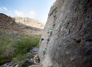
Rock Climbing at Dogwood
4.4If you can avoid the crowds, Dogwood is an easy crag to get to with a lot of 5.fun climbs and a legendary 5.13a sport climb. From the mouth of Big Cottonwood Canyon, the Dogwood picnic area is 1.1 miles up the canyon. Park on the street to avoid having to pay $8 and walk into the picnic area. Fol...Read more -
Hanna, Utah
Camp at Pyramid Lake in Murdock Basin of Utah's Uinta Mountains
Grab a fishing pole, hammock, or book. Pyramid Lake is the perfect setting to kick back and relax in Murdock Basin of Utah's Uinta Mountains! Pyramid Lake is at an elevation of 9,700 feet with a 1,000-foot tall mountain directly to the west of the lake. Due to this steep face butting up to the e...Read more -
Holladay, Utah
Hike Heughs Canyon (Olympus Waterfall)
4.52 mi / 1000 ft gainHeughs Canyon starts right on the edge of Salt Lake City, but within minutes, you’re in a shady forest next to a gurgling stream. This is the prefect after-work hike that can be enjoyed year-round. Two miles round-trip and just over 1,000 feet, the path takes you to a beautiful waterfall that flo...Read more -
Salt Lake City, Utah
Hike Bowman Fork to Baker Pass
5.08.3 mi / 3375 ft gainTo get to the trailhead, drive up Millcreek Canyon about 4.5 miles until you reach the Terraces Picnic area. Turn here and drive up the small road until you reach the parking lot by the bathrooms. You'll see the Bowman Fork trailhead marker next to the parking lot. The trail climbs steadily and i...Read more -
Salt Lake City, Utah
Hike Porter Fork, Millcreek Canyon
5.06.8 mi / 3250 ft gainPorter Fork starts at the aptly named Porter Fork Trailhead about 4 miles up Millcreek Canyon. It’s actually Porter Fork Road for the first 1.5 miles of the trail. This section is a pleasant, paved path winding up through a dozen or so cabins. You’ll gain about 1,000 feet. If you make it past the...Read more -
Payson, Utah
Grotto Falls
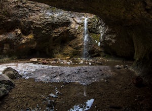
4.00.54 mi / 144 ft gainHeading in the canyon you will drive along a winding road for a while until you pass through a gate (Closed during Winter, this is where you will need to pull over and continue down the road on foot) about a mile up you will see a trailhead on the left called "Bennie Creek" and right after you wi...Read more -
Summit County, Utah
Mountain Bike the Genwild/Jeremy Ranch Trails
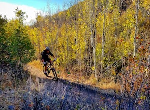
6 mi / 700 ft gainThere are several places to access the trail system and several good places to park on both the Jeremy Ranch side and the Glenwild side. One of my favorite options is to park at the end of Jeremy Road and then take the 24-7 trail into the action. This is also a good way to access the Flying Dog t...Read more -
Salt Lake City, Utah
Hike Neff's Canyon
4.3From the parking lot, you will follow a 4-wheel drive track that runs straight up to the beginning of the different trailheads. You can also take an actual trail up to that same spot, situated below the 4-wheel gravel track on the righthand side.There are a few different trails that merge togethe...Read more -
Kamas, Utah
Backpack to Notch Lake
5.04.6 mi / -600 ft gainThe hike to Notch Lake begins at the Bald Mountain trailhead. You'll need to display a recreation pass in your vehicle to park at the trailhead. You can purchase a pass for $6 at the fee station entering the forest boundary (east of Kamas) or at the Forest Service office right in Kamas. Take the ...Read more -
Salt Lake City, Utah
Hike Mt. Aire
4.54 mi / 2000 ft gainMount Aire, standing around 8600 ft, certainly isn't the most inspiring peak in or around Salt Lake City, but to me it serves as a quick summit to catch the sunset when I'm short on time.Getting There:Start by heading up Mill Creek Canyon Rd. After passing the ranger booth, drive about 5.5 miles ...Read more -
South Jordan, Utah
Fish at the East Riverfront Fishing Ponds
5.00 mi / 0 ft gainThese are great little ponds located at 11267 S. River Front Pkwy in South Jordan. It is just off of a section of the Jordan River. Kidney Pond is the one located just by the parking. Midas is just above and you can see it from the parking. You can fish here for rainbow trout, channel catfish, bl...Read more -
Hanna, Utah
Hike to Cuberant Lake
6 mi / 1066 ft gainThe hike to Cuberant Lake is 3-miles with a couple of steeper sections, but for the most part, it is a flat hike. From the Pass Lake Trailhead, you will head west on the Lofty Lake Loop Trail. On this part of the trail, you pass through meadows with Bald and Reid Peaks in the background, which is...Read more

