Utah County, Utah
Looking for the best photography in Utah County? We've got you covered with the top trails, trips, hiking, backpacking, camping and more around Utah County. The detailed guides, photos, and reviews are all submitted by the Outbound community.
Top Photography Spots in and near Utah County
-
Provo, Utah
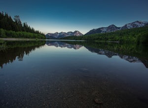
Backpack to Silver Lake
4.44.1 mi / 1500 ft gainThe trail is 4.1 miles roundtrip gaining almost 1,500 feet for the duration of the adventure. Some parts are exposed, so you can get a fair amount of sun.When you're on the trail, you'll get amazing views as you’re hiking to the lake of Mount Timpanogos and American Fork Canyon. This is followed ...Read more -
Provo, Utah
Hike the Pine Hollow Trail
4.04.4 mi / 1100 ft gainThe trailhead (Forest Trail 047 - Pine Hollow Trail) starts across the street from a turnout about .5 miles above Mutual Dell in American Fork Canyon. This highly trafficked trail is used for just about every activity you can think of, meaning that you can even snowshoe this in the winter. It's a...Read more -
Salt Lake City, Utah
Hike Mount Wolverine
4 mi / 1425 ft gainThis mountain can be conquered two ways and is a great after-work adventure to watch the sunset, an early morning trail run, or a fun family challenge. The trail is 4 miles and 1,425 feet elevation gain (from the Alta side) or 6 miles and 2,050 feet (from the Brighton side). Both routes converge ...Read more -
Sandy, Utah
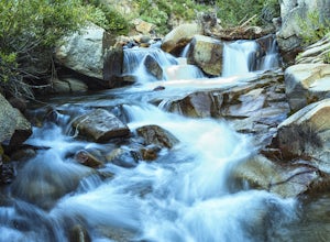
Photograph Little Cottonwood Creek at Snowbird
2.0Little Cottonwood Creek flows right through Snowbird Ski Resort and there are a few beautiful locations to go shoot the river at. The best place to start hiking down the river is right by where the tram takes off. That is just below the Cliff Lodge and right by the Peruvian Lift. There's a res...Read more -
Provo, Utah
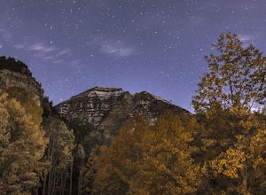
Camp at Timpooneke Campground
5.0The Timpooneke Campground sits at 7,400 ft. elevation with views of Mount Timpanogos and campsites surrounded by beautiful aspen, fir and spruce trees. The leaves in the fall put on a show you will not want to miss. Within the campground there are 9 equestrian sites, 1 large group site and 20 sta...Read more -
Sandy, Utah
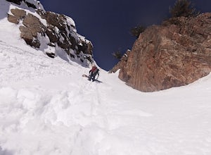
Backcountry Ski Suicide Chute on Mt. Superior
5.00.6 mi / 1245 ft gainFirst of all it's not as scary as it sounds, or as scary as it looks. That being said it's a steep chute in dangerous avalanche terrain so only experienced skiers with backcountry skiing knowledge/equipment should attempt this route.Suicide Chute is located on the South face of Mt. Superior in L...Read more -
Sandy, Utah
Red Pine Lake Trail
5.06.94 mi / 1995 ft gainRed Pine Lake, located in Red Pine Fork of the Wasatch Mountains, is one of the premier hiking and backpacking destinations in Little Cottonwood Canyon. Red Pine Fork is sandwiched in between White Pine Fork and Maybird Gulch to the east and west, respectively. All three are accessed via the Whit...Read more -
Sandy, Utah
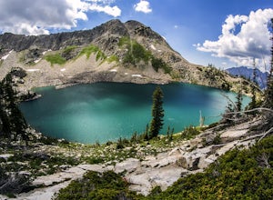
White Pine Lake
4.59.97 mi / 2917 ft gainJust about 5 miles (2-2.5 hrs) from the trailhead, you will find the beautiful White Pine Lake where the water is an intense blue color. It's an amazing place for photos and just hanging out on a summer or fall afternoon. Along the way you will have great views of mountains of all colors, beautif...Read more -
Provo, Utah
Explore Scenic Cascade Springs
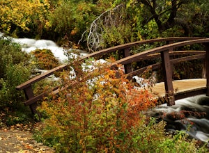
4.7One of the most photogenic spots of the Timpanogos Canyon. If you take the Alpine loop you will see a sign to turn off and go to Cascade Springs. It's about a 15 minute drive from there. The parking lot is right next to the springs. The best time to go is during the fall when the leaves are chang...Read more -
Wasatch County, Utah
Capture the Sunrise above Cascade Springs
Head towards Cascade Springs from either Provo or American Fork Canyons. As you approach Cascade Springs, a couple miles out watch for small turn-outs on the right side of the road. There should be just enough room for you to park in a variety of locations on the way down to the springs. Hop out ...Read more -
Provo, Utah
Hike to Scout Falls
2.8 mi / 675 ft gainStarting at a little over 7,300 feet, the Timpooneke Trailhead offers a beautiful alpine setting for starting your hike. Several trails originate from the same parking lot so you will want to make sure you get on the correct trail. The parking lot can also get quite full on summer days as people ...Read more -
Provo, Utah
Timpanogos Basin via Timpooneke Trail
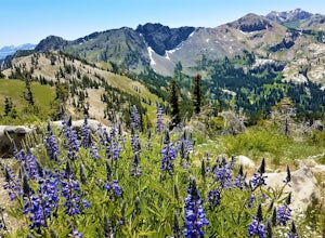
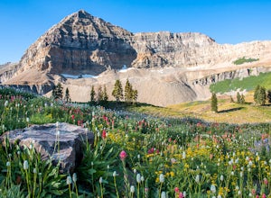
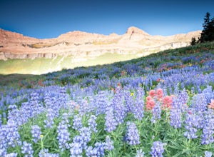
5.09.78 mi / 3015 ft gainThe wildflowers are normally at their peak from mid to end of July or the beginning of August. Depending on the amount of snow that year and how wet of a spring we had it could vary a little bit. But anytime during the mid summer you will encounter amazing Indian Paintbrush, Lupine, and other co...Read more -
Provo, Utah
Mount Timpanogos via Timpanogos Trail #053
4.815.72 mi / 4970 ft gainThe Timpooneke trailhead is located in American Fork Canyon, next to the Timpooneke Campground. There is a $6 fee to enter the canyon, unless you have a National Park Pass with which you get in free. On the weekends, it may be difficult to find parking at the Timpooneke Campground, so arrive earl...Read more -
10230 East Little Cottonwood Lane, Utah
Cross Country Ski Alta Ski Area's Nordic Track
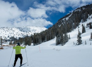
Drive up Little Cottonwood Canyon until the first entrance into Alta. Park in the Collins lift parking lot, throw your boots on, and head over to the nordic track. Its just next to the tow rope that runs through Albion Basin. Now thats left to do is to step into your skis and ski. The track has a...Read more -
Alta, Utah
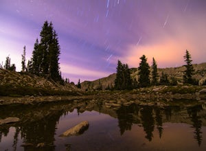
Stargazing and Night Photography at Hellgate Spring
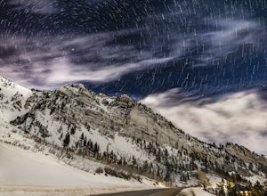
From the base of Little Cottonwood Canyon, follow the road approximately 7 miles until you reach the area between the Snowbird and Alta ski resorts. Looking north, several mountain peaks are visible, including both Mount Superior and Hellgate Spring. The mountain face of Hellgate Spring (GPS coor...Read more -
Alta, Utah
Hike Mt. Superior and Monte Cristo
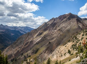
5.06.25 mi / 2500 ft gainMt. Superior, and its close neighbor, Monte Cristo, are two of the most iconic peaks in Little Cottonwood Canyon. Looming over Alta and Snowbird Ski resorts from the north side of the canyon, these two peaks dominate the Little Cottonwood skyline. Mt. Superior tops out at 11,132 feet, and Monte C...Read more

