Tropic, Utah
Looking for the best hiking in Tropic? We've got you covered with the top trails, trips, hiking, backpacking, camping and more around Tropic. The detailed guides, photos, and reviews are all submitted by the Outbound community.
Top Hiking Spots in and near Tropic
-
Garfield County, Utah
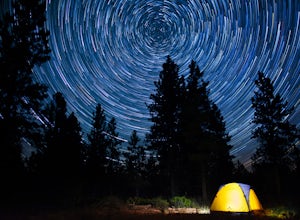
Camp at Dave's Hollow Campground
4.2 mi / 800 ft gainWe all know the crowds well at our favorite National Parks, and Bryce Canyon is no exception. When you're looking to get a little further away from the noise, lights, and experience of a National Park campground, you often don't have to go very far off the main road. This adventure is for those w...Read more -
Henrieville, Utah
Angel's Palace Trail
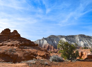
5.0Kodachrome Basin State Park is located about 9 miles south of Cannonville which is on Highway 12 - midway between Bryce Canyon National Park and Escalante Petrified Forest State Park. It is slightly out of the way, but well worth the detour.Angel's Palace Trail is an excellent option if you have ...Read more -
Kanab, Utah
Hike WIllis Creek Slot Canyon
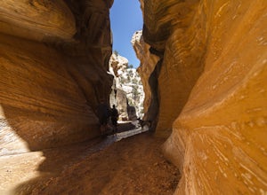
4.7Willis Creek Slot Canyon begins at the Willis Creek Trailhead, located in Grand Staircase Escalante National Monument. The trail is very easy to find and follow. It begins winding through junipers for several hundred feet before dropping gradually into a wash, at which point it meets up with Will...Read more -
Kanab, Utah
Bull Valley Gorge Trail
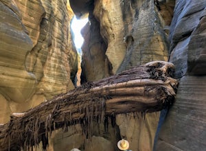
0.89 mi / 49 ft gainBull Valley Gorge Trail is an out-and-back trail that takes you by a river located near Cannonville, Utah.Read more -
Hatch, Utah
Bike Thunder Mountain Trail
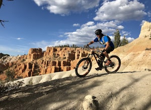
4.08 mi / 1123 ft gainThunder Mountain Trail is one that should be on every mountain bikers bucket list. It's located just outside of Bryce Canyon National Park and passes through hoodoos, classic Bryce Canyon topography and epic views to the west. For the first 2.5 miles, the trail meanders back and forth with littl...Read more -
37.475264,-112.239586
Hike the Bristlecone Loop Trail
3.00.98 mi / 180 ft gainThe trail begins from the South side of the parking lot and is well marked with signs and information placards. Walk for approximately 5 minutes before reaching the intersection where the two ends of the loop come together. This loop can be done in either direction so you can take your pick. T...Read more -
37.475289,-112.240302
Hike Bryce Canyon's Riggs Spring Loop
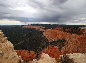
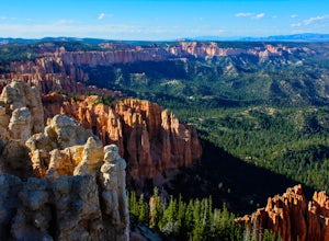
5.08.71 mi / 2044 ft gainBryce Canyon National Park in Utah is a spectacular place. It really has to be seen to be believed. Some of the most scenic parts of Bryce are easily accessible by the average visitor via car-accessible overlooks. However, if you're not into crowds or want to hike/backpack in Bryce...there are so...Read more -
Kane County, Utah
Hike to Grosvenor Arch
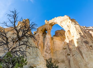
5.01.16 mi / 285 ft gainGrosvenor Arch is a sandstone double arch located in Grand Staircase-Escalante National Monument. The arch is named after Gilbert Hovey Grosvenor, a president of the National Geographic Society. To reach the arch, park in the trailhead parking lot off Last Chance Creek Road. The arches are vis...Read more -
Kanab, Utah
Explore Pahreah Ghost Town
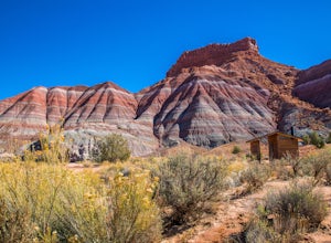
5.0Pahreah was a townsite established along the Escalante River in 1870's. The town grew to include a general store, church, and enough homes to house 47 families at its peak. Due to the close proximity to the Escalante River, the town was flooded every year from 1883 to 1888, washing away crops and...Read more -
Duck Creek Village, Utah
Explore the Mammoth Cave Lava Tubes
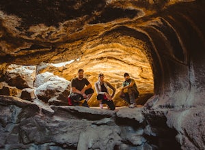
3.00.4 mi / 100 ft gainFrom the USFS website: "Mammoth Cave, at 8050 feet in elevation opens to one of the largest lava tubes in Utah with over 2200 feet of passages. Formed by cooling lava and flowing water, Mammoth Cave is part of the Markagunt Plateau. Geologists believe that some of this lava is only several thous...Read more -
Escalante, Utah
Escalante River Trail: Escalante to UT-12
12.97 mi / 3373 ft gainEscalante River Trail: Escalante to UT-12 is a point-to-point trail that takes you by a river located near Eggnog, Utah.Read more -
Escalante, Utah
Backpack the Escalante River
14 mi / 400 ft gainThe Escalante River trail is an easily accessible, moderately strenuous hike within Grand Staircase-Escalante National Monument. The national monument encompasses over 2 million acres of wilderness, choc-full of large canyons, narrow slot canyons, rivers, hoodoos, arches, natural bridges and more...Read more -
Cedar City, Utah
Hike the Hoodoo Loop Trail in Dixie National Forest
5.00.3 miHoodoo's are unique rock formations formed over many years by erosion. In this region, the hoodoos are formed through a process called frost wedging. This is the process of repeated freeze thaw cycles. As snow melts the water seeps between the cracks in the rocks then freezes at night when the...Read more -
Escalante, Utah
Zebra and Tunnel Slot Canyons Loop
4.86.63 mi / 535 ft gainThis place is just outside of Escalante, Utah, about 6 miles drive down the Hole in the Rock Road / BLM 200. You will see a small parking lot on the right side, the trailhead is not marked, but it's right cross the road from parking lot, once you see the trail you can just easily follow it for 1....Read more -
Escalante, Utah
Zebra Slot Canyon
5.05.18 mi / 315 ft gainZebra slot canyon is located in the heart of Grand Staircase Escalante National Monument in southern Utah. The trail takes you through sandy washes to one of the areas most popular slot canyons to photograph and explore. The hike starts from the parking lot along Hole-In-The-Rock road. Hole-In-T...Read more -
Escalante, Utah
Explore Devils Garden
4.4This is a great area that the whole family can enjoy. It is located about 15 miles down the hole-in-the-rock road south of Escalante, Utah. There is a sign marking the turn-off. In the parking lot there is a restroom and a picnic area.You're free to walk among the hoodoos and even on them in some...Read more

