Thompson, Utah
Looking for the best hiking in Thompson? We've got you covered with the top trails, trips, hiking, backpacking, camping and more around Thompson. The detailed guides, photos, and reviews are all submitted by the Outbound community.
Top Hiking Spots in and near Thompson
-
Moab, Utah
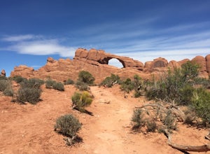
Skyline Arch
0.48 mi / 62 ft gainStarting from the parking you can see the arch. At the start of the trail there is a small sign with information about Skyline Arch. From here the trail is very straightforward and leads you up to the base of the arch. This hike may be short but it still gives you great views over Salt Valley and...Read more -
Moab, Utah
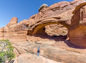
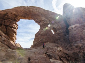
Tower Arch
5.02.46 mi / 440 ft gainTower Arch is located in the remote Klondike Bluffs area in Arches National Park. If you're looking at the park map, you can see the unimproved Salt Valley Road that leads south then west from the main road towards Klondike Bluffs. The road is rough in a few places, but can easily be traversed in...Read more -
Grand County, Utah
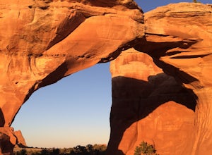
Broken Arch and Sand Dune Arch
5.01.5 mi / 187 ft gainStarting at the Sand Dune Trailhead, there is a trail among the brush, which is pretty well marked. Just after starting, you'll see some fins on your right with a sign indicating the Sand Dune Arch. This is a short 0.2mi spur trail that leads to an arch surrounded by tall fins. To keep going, fo...Read more -
Grand County, Utah
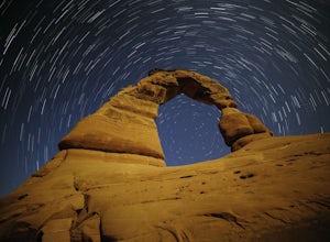
Delicate Arch
4.83.18 mi / 554 ft gainI headed out to the trailhead because I really wanted to shoot the super moon with the Delicate Arch. It was absolutely fantastic, especially during such a full moon. Everything was bathed in a soft glow, it was like I was on another planet actually. It was amazing to sit in silence and to try to...Read more -
Grand County, Utah
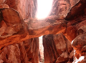
Fiery Furnace Loop
4.51.53 mi / 328 ft gainArches National Park is an incredible place with a variety of places to explore. One of the great places to explore is the Fiery Furnace. The Fiery Furnace requires a permit, which can be obtained at the Visitor Center after watching a short video. For the most part, they are making sure you are ...Read more -
Moab, Utah
Hike to the Klondike Bluff Dinosaur Track
3.03 miI think these tracks are the best in Moab. Take route 191 north out of Moab for about 13 miles (mile post 142). Klondike Bluff road is on the right. If you pass the airport, you went too far. This road is easily accessed with two wheel drive cars. The parking area is at the end where you will see...Read more -
Moab, Utah
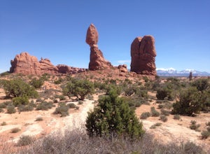
Balanced Rock Loop
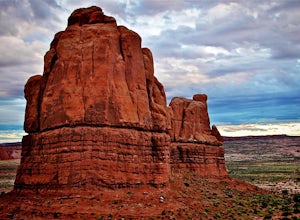
0.55 mi / 62 ft gainBalanced rock is a short loop and can be done in a short amount of time. You can spend a few minutes walking around the rock and snap a few pictures with your family. Make sure to stay on the well marked trail in order to preserve the environment.Read more -
Moab, Utah
Summit Elephant Butte
1.27 mi / 492 ft gainElephant Butte sits at 5653 ft. and is the highest point in Arches National Park. It requires two rappels using a 60m rope. In addition to this, it requires some short sections of low fifth class scrambling that can be difficult on wet rock. The approach starts at Garden of Eden trailhead. ...Read more -
Castle Valley, Utah
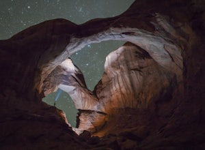
Double Arch
4.40.56 mi / 135 ft gainThe hike to Double Arch is a relatively flat and easy hike of 0.5 miles roundtrip. You can add this to the rest of the quick spots you may want to visit on your visit to Arches.This arch is created by two arches that shares the same stone as the foundation for their outer legs. This arch was form...Read more -
Moab, Utah
Window Arch Loop
5.01.14 mi / 62 ft gainTo get to the trailhead: After entering the park, keep driving along the main road until you see signs for The Windows Area (just past the Balanced Rock and a little over 9 miles from the Visitor Center). Follow this road until it ends in a parking lot and you see the arches to your right. The ...Read more -
Moab, Utah
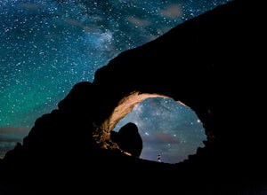
Photograph the Milky Way at North Window Arch
4.7Arches National Park is a must see for all photographers, but especially for astrophotography. Many of the most common places to shoot are balanced rock, and Delicate Arch and there's a good reason, these are beautiful places. North Window Arch is much less common, and even on a moonless night,...Read more -
Moab, Utah
Hike the Mill Canyon Dinosaur Trail
5.01 mi / 50 ft gainThis short trail is located off Mill Canyon rd about 15 minutes north of Moab. A short walk from the parking area leads to an established interpretive trail with signage of where to look for the fossils and a description of what type of dinosaur they belong to. Several different types of dinosau...Read more -
Moab, Utah
Parriott Mesa Trail
2.83 mi / 981 ft gainParriott Mesa Trail is an out-and-back trail that takes you past scenic surroundings located near Moab, Utah.Read more -
Moab, Utah
Hike to Castleton Tower
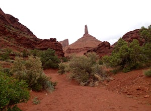
5.04 mi / 300 ft gainCastleton Tower is a popular destination for rock climbing when in the Moab area. However, if you are not a rock climbing, you can still enjoy the scenery of the tower and the surrounding desert. Located on BLM land, there are several access trails off the La Sal Loop road. You can't miss the tow...Read more -
Moab, Utah
Rappel Big Horn Canyon
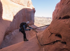
3.5 mi / 500 ft gainThis canyon requires an Arches Canyoneering Permit, two 60m ropes, 100 ft of webbing, and your normal canyoneering kit. To reach the parking for the canyon, drive five miles or so into Arches until you reach a bridge. Shortly after the bridge, there will be a pull-off to the left where you can ...Read more -
Moab, Utah
Photograph Arches National Park
4.9Located in Southeast Utah, 5 miles North of Moab, Utah. From Hwy 70, take Exit 182 towards Crescent Jct/Moab, taking Hwy 191 S for about 25 miles until you reach Arches National Park on your left.From the Visitor Center, the La Sal Mountains Viewpoint area is about a 4 mile ride on your right. Th...Read more

