Saratoga Springs, Utah
Looking for the best hiking in Saratoga Springs? We've got you covered with the top trails, trips, hiking, backpacking, camping and more around Saratoga Springs. The detailed guides, photos, and reviews are all submitted by the Outbound community.
Top Hiking Spots in and near Saratoga Springs
-
Bountiful, Utah
Trail Run to Elephant Rock
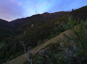
4.47 mi / 1025 ft gainMueller Park is a beautiful, quaint canyon, with some sweeping up canyon views throughout the ascent. The trail is a fun, family friendly single track from the bridge all the way to the rock. You will pass a bald strip (pipeline) that runs North to South which marks about halfway to the rock. At ...Read more -
Payson, Utah
Mount Nebo via North Rim Trail
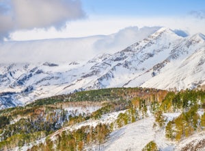
4.58.6 mi / 2897 ft gainMount Nebo is the tallest of all the mountains in the Wasatch, and also one of the easiest to hike, due to the fact that the trail begins at an elevation of ~9300 ft. The parking area for the trailhead is along a short dirt road, which is precisely marked on the location map. The trail itself is...Read more -
Utah County, Utah
Fifth Water Hot Springs from Rays Valley Trailhead
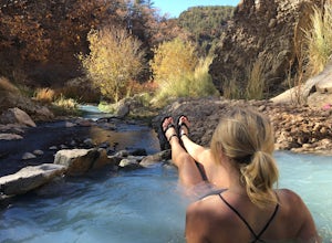
5.04.98 mi / 787 ft gainFifth Water Hot Springs from Rays Valley Trailhead is an out-and-back trail that takes you to a hot springs located near Spanish Fork, Utah. Dogs are permitted on this trail on-leash. If heading to the hot springs with your pup, please be respectful of others visiting the hot springs. Along this ...Read more -
Kamas, Utah
Explore the Mirror Lake Scenic Byway
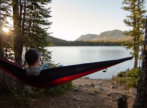
4.7Mirror Lake Scenic Byway is breathtaking. There is lots to take in via longer trips, but with numerous viewpoints, lakes, and the Provo River just off the main highway, the drive through alone is well worth it.There is SO much to do in the Uintas, with activities ranging from lakeside picnics to ...Read more -
Centerville, Utah
Hike to the Rope Swing on Deuel Creek Trail
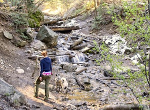
5.02.6 mi / 646 ft gainNot only is this hike absolutely gorgeous, but it also has an epic rope swing at the end! To get to the trailhead you'll need a vehicle that can handle rough roads—you have to drive up a bit on the side of the mountain to get to the trailhead. The beginning of the hike is marked with a little bul...Read more -
Centerville, Utah
Hike to the Parrish Creek Pictographs
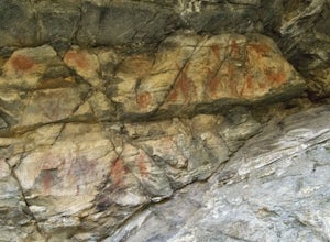
4.71 mi / 200 ft gainThe petroglyphs are pretty easy to find and it is such a short hike you can do it in about 45 minutes. To get to the trailhead, drive to Centerville, Utah and take 400 N all the way towards the mountain. The road with curve to the right with a small dirt road heading to the left. Take the dirt ro...Read more -
Kamas, Utah
Hike Riley's Canyon
5 mi / 200 ft gainAproximately two miles Southeast of Woodland, UT on Highway 35 you will come to a small turnout on the North side of the road. It is sufficient in size for a handful of vehicles to park, so that passengers can make their way into Riley's Canyon. From the turn off, look to the North and you will s...Read more -
Nephi, Utah
Andrew's Ridge to Mt. Nebo (South Peak)
8.67 mi / 5400 ft gainAndrew's Ridge to Mt. Nebo (South Peak) is an out-and-back trail where you may see wildflowers located near Nephi, Utah.Read more -
Tooele County, Utah
Stansbury Island Trail
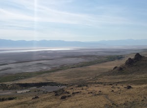
2.88.87 mi / 2585 ft gainRarely will you ever see another person at the underrated Stansbury Island, the second largest island within the Great Salt Lake in Utah - even though a dirt causeway connects it to land, it is still considered an island. The lack of crowds make this a good place to hike, take photos, and enjoy t...Read more -
Davis County, Utah
Hike Frary Peak Trail on Antelope Island
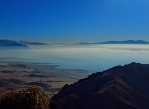
5.06.4 mi / 2030 ft gainThe Frary peak trail is the highest point of Antelope Island and can be found a short drive off of I-15 north on Antelope Drive near Layton. There is a fee to access the island, but well worth it. When you get to the island, head left along the east side of the island toward Fielding Garr Ranch. ...Read more -
Davis County, Utah
Hike the Frary Peak Trail
4.57 mi / 2050 ft gainThis is a fairly easy hike starting at the parking lot near the trailhead. You will encounter little or no obstacles on your hike, just a nice incline leading you to the highest point of the island.You will be able to see lots of buffalo roaming around most of the island on your way up. Be sure t...Read more -
Layton, Utah
Stroll through the Great Salt Lake Shorelands Preserve
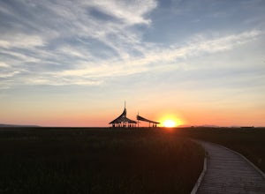
5.01 miThe wetlands of The Nature Conservancy's Great Salt Lake Shorelands Preserve are a unique system of salt and fresh water marshes, ponds, pools, sloughs and mudflats. It is a rich feeding ground for tens of thousands of migrating birds, making this destination a birder's paradise.Great for all ski...Read more -
Layton, Utah
Adams Canyon
4.83.55 mi / 1434 ft gainThe trailhead is at a dirt parking lot with a lot of parking, but on Saturday mornings it can get full and people are forced to park on the street. As you start off, there are a few steep and sandy switchbacks. They don't last too long but on a hot day it can seem like forever. After that, the t...Read more

