Sandy, Utah
Looking for the best hiking in Sandy? We've got you covered with the top trails, trips, hiking, backpacking, camping and more around Sandy. The detailed guides, photos, and reviews are all submitted by the Outbound community.
Top Hiking Spots in and near Sandy
-
Salt Lake City, Utah
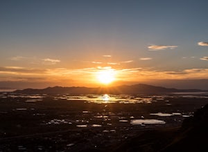
Ensign Peak
4.20.97 mi / 354 ft gainThis hike is a piece of cake with a sizable reward. It starts just up the hill behind the Capitol Building and ascends 350 feet over about 0.5 miles to the top on a very well marked trail. It's great for a family with young ones or maybe a quick post-dinner evening date. Parking is all along a re...Read more -
Provo, Utah
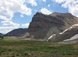
Hike the North Summit of Mount Timpanogos
5.016 miTo reach the north summit of Timpanogos you start out just like you would if you were going to the main summit. There are 2 different trail options to choose from; The Aspen Grove trail near Sundance Ski resort or the Timpanooke trail through American Fork Canyon. I will put the start point on th...Read more -
Provo, Utah
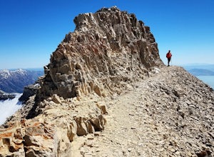
Hike Mount Timpanogos via Aspen Grove
4.014 mi / 5140 ft gainThe Aspen Grove trail is shorter but a bit steeper than the Timpanooke Trail. This usually means that fewer people take this route, and on an extremely popular mountain like Timpanogos, that’s a good thing. The trail is 14 miles round trip with an elevation gain of 5,140 feet. The hike begins at...Read more -
Provo, Utah
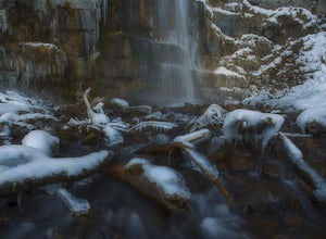
Hike to Stewart Falls
4.34 miThe canyon is closed during snowfall so this is only accessible between May-Nov usually. It is best during the fall when the leaves have changed color, but let's be honest, it's always great. Head up Provo Canyon and follow the signs to make a left going into Sundance. Follow the road past the sk...Read more -
Park City, Utah
Hike Fantasy Ridge to Desolation Peak from Canyons Village
5.06.5 mi / 2000 ft gainThe easiest way to start this hiking only trail is to jump on the Red Pine Gondola at the Canyons Village of Park City Mountain Resort. If you have an Epic Pass, the lift is free. Otherwise, you'll need to buy a ticket to ride to the base of Red Pine Lodge. From the base of Red Pine Lodge (8,000...Read more -
Park City, Utah
Hike, Run, Bike Rob's Trail in Park City
4.02.8 mi / 705 ft gainRob's Trail is a perennial favorite among Park City locals for year-round hiking, trail running, or mountain biking. The trail is primarily an out-and-back, but it if you go a bit further it can be combined with other trails to create a loop. The trail meanders through aspen and pine trees on the...Read more -
Park City, Utah
Hike Empire Pass Ridge
3.25 mi / 800 ft gainStarting at an elevation of 8,960 feet at Empire Pass, the trail follows the ridge to the west. It starts off on a gravel road, but quickly turns into a single-track trail once you pass the buried water tank. For the most part, you will stay on the ridge and have great views of Clayton Peak, Deer...Read more -
Park City, Utah
Hike Quarry Mountain in Park City
2.2 mi / 740 ft gainThe Quarry Mountain trail is a less-traveled option than the Iron Mountain trail in Park City offering unique views of McPolin Farm to the west, Kimball Junction and Old Ranch Road to the north, Park City to the south, and Promontory Ranch to the East. The trail starts at the McPolin Farm parking...Read more -
Park City, Utah
Ride the RTS Trail
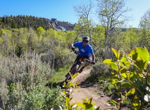
2.6 mi / 366 ft gainThe RTS trail at Utah's Olympic Park (ski jumping, bobsled, skeleton, and luge), is a fantastic beginner-to-intermediate trail. Since it's a short loop at only 2.6 miles and 366 feet of elevation gain, it's perfect for kids and beginners. Most of the sections are smooth dirt that winds through as...Read more -
Park City, Utah
Park City Mountain Ski Resort Trail
18.24 mi / 3468 ft gainPark City Mountain Ski Resort Trail is a loop trail where you may see beautiful wildflowers located near Park City, Utah.Read more -
Park City, Utah
Hike Past Mining Relics in Daly Canyon
4.02.5 mi / 500 ft gainTo get to Daly Canyon, just continue up Main Street in Park City. The road turns to dirt soon after the last house and a gate is closed across the road not far beyond that. Hiking, biking, or jogging up the old road you'll have the stream to your left and about a 1/4 mile up you'll see the old J...Read more -
Park City, Utah
Deer Valley Resort
5.07.51 mi / 1161 ft gainDeer Valley Resort is a loop trail where you may see local wildlife located near Park City, Utah.Read more -
Park City, Utah
Bike or Hike Park City's Mid Mountain Trail
5.022.8 mi / 4457 ft gainThe Mid-Mountain Trail is unique to Park City. It's an epic trail that connects Deer Valley, to Park City Mountain Resort, and Canyons Village. Traversing at approximately 8,300 feet elevation, the trail is comprised of 13 sections and is a 22.8 mile point-to-point ride from Deer Valley to Canyon...Read more -
Park City, Utah
Run the Historic Park City Union Pacific Rail Trail
28 mi / 800 ft gainThe Park City Rail Trail is a fantastic trail for walks, running, and biking in the spring, summer, and fall. During the winter it's groomed so you can Nordic ski, fat bike, run or walk. Park City's historic Union Pacific Rail Trail has been paved from Bonanza Drive in Park City all the way out ...Read more -
Summit County, Utah
Mountain Bike the Genwild/Jeremy Ranch Trails
6 mi / 700 ft gainThere are several places to access the trail system and several good places to park on both the Jeremy Ranch side and the Glenwild side. One of my favorite options is to park at the end of Jeremy Road and then take the 24-7 trail into the action. This is also a good way to access the Flying Dog t...Read more -
Wallsburg, Utah
Walk the Deer Creek Dam Trail
4.08.03 mi / 400 ft gainWhile driving East, the turnoff to the trailhead is just left of the dam. There is a size-able parking lot and rest rooms available. The hike itself is a dirt path and easy to follow. Access to the water's edge is restricted until you are 1500 feet past the dam. Though the trail is designed for b...Read more

