Parowan, Utah
Top Spots in and near Parowan
-
Springdale, Utah
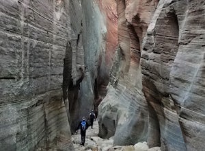
Canyoneering Echo Canyon, Zion
3 mi / 1100 ft gainDisclaimer: Canyoneering is a dangerous and technical activity. Don’t enter any canyon without the skills to match it, or the knowledge to navigate it. Echo Canyon requires a canyoneering permit that can be reserved online and picked up at the Zion Visitor Center. Be sure to reserve your permit 3...Read more -
Hurricane, Utah
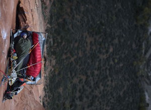
Aid Climbing Moonlight Buttress
Moonlight Buttress follows an amazing system of cracks up some really solid sandstone. The route is 5.8 C1 and is very straightforward. Hauling on the first few pitches is an absolute nightmare, but spending the night on the wall is spectacular. To get more info on the route check out the followi...Read more -
Bryce, Utah
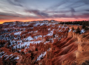
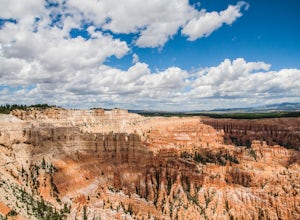
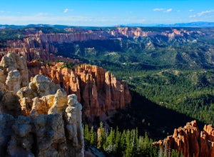
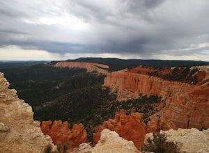
Hiking Bryce Canyon's Rim Trail
4.411.01 mi / 1342 ft gainThis popular hike in Bryce Canyon National Park offers up breathtaking views from just about every step. While it can be as long as 11 miles out and back from Fairyland Point to Bryce Point, multiple pull outs allow driving between the different points providing as long or short as a hike as you ...Read more -
Tropic, Utah
Under the Rim Trail to Swamp Canyon Camp
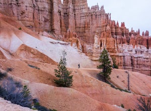
5.023.79 mi / 5794 ft gainThis trail is just about the only way I would see Bryce Canyon. When we initially drove in it was like we were at Disneyland, with crowds of people everywhere. We soon discovered, however, that very few people enter Bryce Canyon's backcountry. We chose to visit Bryce in July due to it's higher el...Read more -
Bryce, Utah
Bryce Point Trail
0.25 mi / 161 ft gainBryce Point Trail is an out-and-back trail where you may see local wildlife located near Bryce, Utah.Read more -
Bryce, Utah
Hat Shop via Under the Rim Trail
5.03.99 mi / 1093 ft gainHat Shop via Under the Rim Trail is an out-and-back trail where you may see local wildlife located near Bryce, Utah.Read more -
Springdale, Utah
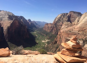
Angels Landing
4.74.24 mi / 1488 ft gainAngels Landing has long been one of my favorite Zion National Park hikes. The hike is thrilling, extremely photogenic, and appeals to those who enjoy exchanging leg power for views. The hike to the top isn't long, 2+ miles, but you'll definitely feel the 1500 feet of gain! The trail features a mo...Read more -
Orderville, Utah
Hike Red Hollow Slot Canyon
5.03.2 mi / 200 ft gainThe trailhead is about 18 miles from the eastern entrance of Zion National Park, located in the small town of Orderville. In Orderville, the streets aren't marked too well, so follow the road that goes past the cemetery and the school, 100 East. When the road Ts, turn left. The road ends in a san...Read more -
Springdale, Utah
Angels Landing, West Rim, Telephone Loop
15.34 mi / 4304 ft gainThe Angels Landing, West Rim, Telephone Loop Trail is a 14+ mile heavily-trafficked loop trail located in Zion National Park near Springdale, Utah. This iconic trail offers incredible views of Zion Canyon and is rated as difficult, with steep drop-offs on both sides of the narrow ridgeline sect...Read more -
37.475289,-112.240302
Hike Bryce Canyon's Riggs Spring Loop
5.08.71 mi / 2044 ft gainBryce Canyon National Park in Utah is a spectacular place. It really has to be seen to be believed. Some of the most scenic parts of Bryce are easily accessible by the average visitor via car-accessible overlooks. However, if you're not into crowds or want to hike/backpack in Bryce...there are so...Read more -
Kane County, Utah
Run the Bryce Canyon Traverse
1.030.3 mi / 6600 ft gainThe Bryce Canyon Traverse is a point-to-point run covering over 30 miles from Rainbow Point at the southern end of the park to Sunrise Point at the North. The majority of the run is on the remote Under-the-Rim Trail where you might pass the occasional backpacker, but won't find a tourist group f...Read more -
37.475264,-112.239586
Hike the Bristlecone Loop Trail
3.00.98 mi / 180 ft gainThe trail begins from the South side of the parking lot and is well marked with signs and information placards. Walk for approximately 5 minutes before reaching the intersection where the two ends of the loop come together. This loop can be done in either direction so you can take your pick. T...Read more -
Tropic, Utah
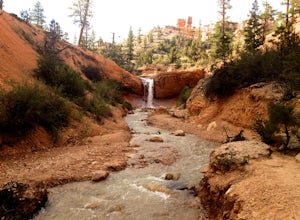
Mossy Cave Turret Arch and Little Windows Trail
5.01.06 mi / 341 ft gainMossy Cave Turret Arch and Little Windows Trail is an out-and-back trail that takes you by a waterfall located near Tropic, Utah.Read more -
Tropic, Utah
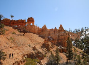
Hike Mossy Cave in Bryce Canyon
3.31 miThis short hike cannot be reached from the main area of Bryce Canyon, but with a 15 minute drive from the main entrance you can access this less crowded portion of the park. Check out a park map for the directions. This is very family-friendly, and is actually more of a "walk" than a "hike."It is...Read more -
Tropic, Utah
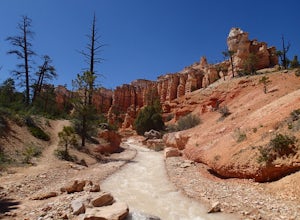
Hike the Tropic Ditch Trail
5.02 miFrom the Mossy Cave trailhead, follow the wide easy trail along the Tropic Ditch stream for .35 miles. At that point, the trail splits. To the left is Mossy Cave and to the right is Water Canyon Falls. The trail is lined with beautiful colored cliffs and hoodoos that Bryce Canyon is famous for. T...Read more -
Virgin, Utah
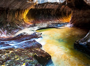
The Subway - Bottom Up
4.96.82 miStart your day early at the Left Fork Trailhead on Kolob Terrace Road from the town of Virgin outside Zion National Park. This 6.5 mile out and back hike will take you to one of the most beautiful features in Zion National Park: The Subway. You'll start with a steep descent into the canyon. This ...Read more

