Oakley, Utah
Looking for the best photography in Oakley? We've got you covered with the top trails, trips, hiking, backpacking, camping and more around Oakley. The detailed guides, photos, and reviews are all submitted by the Outbound community.
Top Photography Spots in and near Oakley
-
Provo, Utah
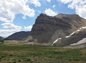
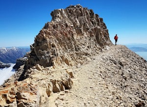
Hike the North Summit of Mount Timpanogos
5.016 miTo reach the north summit of Timpanogos you start out just like you would if you were going to the main summit. There are 2 different trail options to choose from; The Aspen Grove trail near Sundance Ski resort or the Timpanooke trail through American Fork Canyon. I will put the start point on th...Read more -
Provo, Utah
Hike Mount Timpanogos via Aspen Grove
4.014 mi / 5140 ft gainThe Aspen Grove trail is shorter but a bit steeper than the Timpanooke Trail. This usually means that fewer people take this route, and on an extremely popular mountain like Timpanogos, that’s a good thing. The trail is 14 miles round trip with an elevation gain of 5,140 feet. The hike begins at...Read more -
Holladay, Utah
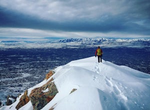
Winter Hike to Mt. Olympus
5.07 mi / 4200 ft gainApproach: You can access the well traveled Mount Olympus Trail the same as you would any other season. Park in the trailhead lot or along Wasatch Blvd. The trail starts on the south side of the parking lot.Route Description: Even in the winter the Mount Olympus trail should be pretty straightforw...Read more -
Holladay, Utah
Mt. Olympus Trail
4.76.46 mi / 4124 ft gainThe trail begins right on Wasatch Blvd. and after the first 0.5 miles you're into the Superior Wilderness. This is a very strenuous hike and you will be gaining elevation the whole way from the parking lot (4830 ft) to the summit (9026 ft). About .2 mile from the summit you will reach a saddle....Read more -
Evanston, Utah
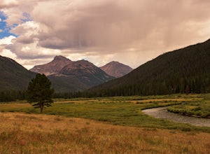
Camp at Christmas Meadows in the Uinta National Forest
Just four miles from the Mirror Lake Scenic Byway, this limited site campground is a great alternative to the larger, busier campgrounds at lower elevations. There are just 11 sites here, a few of which are first-come, first-serve. Amenities include picnic tables, campfire rings, vault toilets, d...Read more -
Evanston, Utah
Backpack to Ryder Lake
4.718 mi / 2000 ft gainRyder Lake is accessed via the Stillwater Trail, beginning at the Christmas Meadows Trailhead off of Mirror Lake Highway. The trail heads due south from Christmas Meadows along the Stillwater River. It winds through lodgepole pine forests and skirts alpine meadows, gradually gaining elevation. A...Read more -
Evanston, Utah
Hike to Ostler Peak in the High Uintas
13.7 mi / 3935 ft gainHiking Ostler Peak in the High Uintas Wilderness is a serious challenge for anyone. Typically, this hike is done over 2-3 days, with an overnight at the beautiful Ostler Lake. Strong hikers can do this hike in one day, however, as long as you are prepared and know the route. The route up Ostler ...Read more -
Salt Lake City, Utah
Hike or Run Mount Wire
3.74.5 mi / 2082 ft gainThis 4.5 out-and-back trail starts just south of the Natural History Museum at the University of Utah. Park in the museum parking lot and walk up the stairs to the Bonneville Shoreline Trail. Then head south along the BST for a few minutes until you reach a big yellow sign with 174 on it. Turn le...Read more -
Salt Lake City, Utah
Hike the Living Room
4.42.5 mi / 1000 ft gainBecause if its proximity to downtown Salt Lake, this is a great quick hike to do after work. Although it's short, it is fairly steep, climbing nearly 1000 feet in 1.25 miles. However, most people can do it without too much difficulty. This is a good family hike and allows dogs on leashes. Due to ...Read more -
Salt Lake City, Utah
Hike or Trail Run Mount Van Cott
4.03 mi / 1400 ft gainThere are many different trailheads that will take you to the top of Mount Van Cott, but the main trailhead is up Red Butte Canyon. Drive up the canyon until you reach the parking lot where the canyon gate is blocking the road. After parking your car here, head up the dirt road on foot until you ...Read more -
Sandy, Utah
Bell Canyon's Waterfall
4.64.64 mi / 1549 ft gainIf you keep a steady pace, the hike takes about an hour each way, so allow time when trying to catch the sunset. The hike is pretty easy until right before you reach the falls, where there is a big, steep hill you have to climb. From the parking lot/trailhead, head up the path and head left when...Read more -
Sandy, Utah
Upper Bell Canyon Reservoir via Bell Canyon Trail
4.39.12 mi / 4285 ft gainThis is one of my favorite spots in the state of Utah! It is completely secluded high up on the Wasatch front. You can hike here for a nice relaxing day, an overnight camping trip, or do a little fly fishing and hook some fun little brooke and cutthroat trout. The Bell Canyon trail is one of the...Read more -
Sandy, Utah
South Thunder Mountain via Bell Canyon
11.78 mi / 5968 ft gainStarting at the Bell's Canyon trailhead, the trail follows a river for most of the way, passing two reservoirs and two waterfalls. This trail is intermediate, depending on your destination. The first and most commonly visited section of the trail is the first reservoir. An easy hike of less than ...Read more -
Evanston, Utah
Camping and Skiing at Lily Lake
When driving to the trailhead you must go through Evanston Wyoming to get there. The trailhead is located near the Bear River Lodge off the Mirror Lake Highway (UT 150).The Lily Lake area in the Uintas is full of snowy landscapes waiting to be explored on skis, snowshoes, or even a snowmobile. Yo...Read more -
Alpine, Utah
Day Hike to South Thunder Mountain
12.2 mi / 5604 ft gainThe summit of South Thunder Mountain, sitting at 11,154 ft, is a superb peak. Located on the Alpine Ridge of the Wasatch Mountains, this peak is criminally overlooked.The Schoolhouse Springs trailhead leads you onto an old dirt road, that switchbacks for about 2 miles through the foothills, befor...Read more -
Provo, Utah
Hike Big Springs Hollow Loop
4.05 mi / 600 ft gainArriving to Big Springs Hollow is relatively easy. Drive up Provo Canyon and turn right onto South Fork Rd at Vivian Park. As you pass Vivian Park, you'll continue for 3 miles on South Fork Rd until you reach Big Springs Park. Continue up to the Upper level parking and the trailhead will be in...Read more

