Utah
Looking for the best mountain biking in Utah? We've got you covered with the top trails, trips, hiking, backpacking, camping and more around Utah. The detailed guides, photos, and reviews are all submitted by the Outbound community.
Top Mountain Biking Spots in and near Utah
-
Green River, Utah
Explore a Manmade Geyser in Utah
3.0Four and a half miles from the town of Green River, Utah, Crystal Geyser is one of the few manmade geysers as a result of the area's historical mining industry. This cold-water geyser usually erupts every eight to 20 hours. Getting There Getting to the geyser is easy and the site can be accessed ...Read more -
Moab, Utah
Ride the Slick Rock Mountain Bike Trail
5.010.7 mi / 819 ft gainThe Slick Rock mountain bike trail is a great trail option for all skill levels looking to get a taste of what Moab has to offer. The trail is unique in that it is almost entirely on rock, with only a few patches of sand and mud scattered throughout the 10 mile loop. The trail is easy to follow d...Read more -
St. George, Utah
Running Chuckwalla
5.0The Chuckwalla Trailhead is part of the Red Cliffs Desert Reserve and provides beautiful and easy to to access running, mountain biking and climbing right outside of St. George Utah.To access the trailhead follow Bluff St. north toward Dameron Valley. Continue straight through the light at Snow C...Read more -
Monticello, Utah
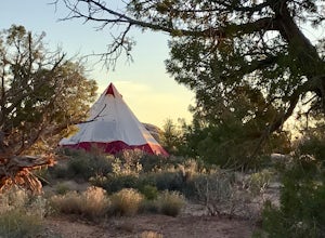
Camp at the Ledges Camping Area off of Kane Creek Road
5.0The turn off for Kane Creek Rd. is directly before the McDonald's on the right side of the road. A right turn takes you through small residential area and then places you on a dirt road continuing into the canyon. The road narrows a bit, switch backs, and becomes slightly rougher. Follow Kane Cr...Read more -
Moab, Utah
Camp at Williams Bottom Campground in Moab
4.0Williams Bottom Campground and its 17 first-come first-serve campsites are tucked into the side of the Colorado River Canyon on Utah Highway 279 aka "Potash Road" just 15 minutes from downtown Moab. It is commonly known as one of *the* rock climbing campground on the west side of Moab, as there a...Read more -
Moab, Utah
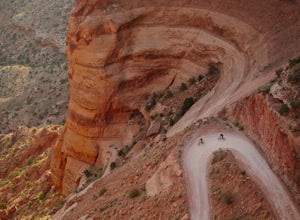
Mountain Bike the Shafer Trail in Moab
5.05 miThe best way to ride the Shafer Trail is to bring a support vehicle (one with 4WD and decently high clearance). If you're into a sufferfest, by all means climb your way out of there. You can also include it on a much, much longer ride like the White Rim Trail. But if you just want to experience t...Read more -
Hurricane, Utah
Running Windmill Trail
8 miWindmill trail and trailhead sits just down the road from Gooseberry Mesa Trailhead in Apple Valley, Utah. Head out on this figure-8 loop for as long as you want. If you're smart, you'll bring your MTB, and you can ride the singletrack once you're done getting your run in.This is also a great spo...Read more -
Moab, Utah
Camp at King's Bottom
4.0Kane Creek is a massive canyon, with the Colorado river at it's feet and red cliffs towering on either side. There are numerous trail heads and campgrounds the farther you explore into the canyon. However, these sites fill up fast. The canyon restricts camping to only designated sites, capping th...Read more -
Boulder, Utah
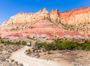
Drive the Burr Trail Scenic Backway
5.066.2 mi / 4124 ft gainThe Burr Trail is a 66 miles mostly-paved road connecting Boulder, Utah / Highway 12 with the Notom-Bullfrog road that passes through some of the most scenic (and largely untouched) painted-rock backcountry in three of our national parks/monuments including Grand Staircase-Escalante, Capitol Reef...Read more -
Moab, Utah
Camp at Willow Springs Trail
4.0Willow Springs Trail is state-owned land located 13 miles north of downtown Moab Utah. The state provides some vault toilets and port-o-lets throughout the area, but there are no designated campsites or fire rings. Along the main road, there are plenty of large flat spots that people with RV's or...Read more -
Hurricane, Utah
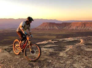
Camp at Little Creek Mesa
5.0Experience solitude and beauty at Little Creek Mesa Utah. When you get there, grab a campsite, and go for an evening mountain bike ride along the rim of the mesa and see breathtaking views of the valley below as the sun sets. Little Creek Mesa is located 22 miles from Hurricane, Utah and only 8 ...Read more -
Alta, Utah
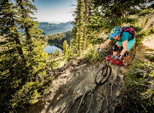
Mountain Bike Catherine's Pass
4.5 mi / 1200 ft gainThis ride isn't for the faint of heart. It's seriously tough. It's one of the most scenic and rewarding rides you'll ever do, though. The climbing is steep and the descents are rocky.Try to ride it early in the morning. Hikers frequent these trails. An early morning rip is the best way to keep fr...Read more -
Moab, Utah
Mountain Bike the Sovereign Trail
5.08 mi / 1000 ft gainStarting from the trailhead north of Moab on Dalton Wells Rd. Follow the Copper Ridge 4x4 road until you see the signs for the start of the Sovereign Trail. It starts with a steep uphill, but once you crest the top of the hill you are rewarded with a beautiful view of the La Sals and surrounding ...Read more -
Moab, Utah
Mountain Bike the Moab Brand Trails
5.010 mi / 200 ft gainThe Moab Brand Trails are a series of trails about 7 miles north of the Colorado River, north of Moab. They get their name from four of the major trails that spell out "MOAB." They include the Bar M, Circle O, Rockin A and Bar B. I was curious how they came to the names and my local bike shop m...Read more -
Emery County, Utah
Camp at The Wedge (East Side)
The Wedge, which is also known as The Little Grand Canyon is located in the northern part of the San Rafael Swell. The closest town is Castle Dale, Utah, and most people drive past this part of the San Rafael Swell on their way to Moab, or other parts of the Swell.The views are remarkable. It's n...Read more -
Grand County, Utah
Mountain Bike the Monitor-Merrimac Trail
4.06 mi / 564 ft gainThe Monitor-Merrimac Trail is a scenic beginner level mountain bike trail in Moab, UT. It is located on BLM Land (Bureau of Land Management), so it is free to use year round. The trail is a 5.5 mile loop and has about 630’ of elevation gain. The Monitor-Merrimac Trail is slickrock for the majo...Read more

