Moab, Utah
Looking for the best photography in Moab? We've got you covered with the top trails, trips, hiking, backpacking, camping and more around Moab. The detailed guides, photos, and reviews are all submitted by the Outbound community.
Top Photography Spots in and near Moab
-
Moab, Utah
Hike the Big Horn Overlook Trail
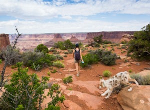
4.03.5 mi / 0 ft gainAs a pet owner, you probably know that bringing your pooch along on your National Park adventures can be a frustrating experience. Most of our Parks do not allow pets on trails, and for several good reasons, but if you bring your dog(s) with you to Moab country, you’ll be happy to know that there...Read more -
Moab, Utah
Hike the West and East Rim Loop at Dead Horse Point
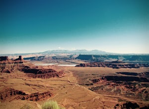
5.04.98 mi / 928 ft gainThis is a 5.5 mile loop, if you opt out of the several in/outs to various lookout points, which extend the hike to about 10 miles -- do not opt out! These lookout points get better and better. However, you can skip the only modest part of the trail, where the West and East rims of the trail meet...Read more -
Grand County, Utah
Fiery Furnace Loop
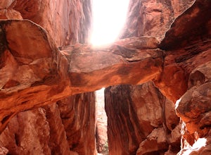
4.51.53 mi / 328 ft gainArches National Park is an incredible place with a variety of places to explore. One of the great places to explore is the Fiery Furnace. The Fiery Furnace requires a permit, which can be obtained at the Visitor Center after watching a short video. For the most part, they are making sure you are ...Read more -
Moab, Utah
Capture Sunrise at Dead Horse Point SP
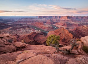
5.0Dead Horse Point State Park sits next to Canyonlands National Park with expansive views of the canyons carved by the Colorado River. The park can be accessed year-round and the best views are within feet of the parking lot. To capture the warm light of sunrise on the red rocks, head for the wes...Read more -
Moab, Utah
Drive Long Canyon Road
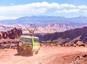
5.0Moab is an outdoor mecca, from rock climbing to mountain biking to 4WD adventures and while not particularly technical (it is only rated Class 2) the 7.8 mile Long Canyon Road just north of Dead Horse State Park is an excellent way to get a taste for the incredible features (and views) that the C...Read more -
Moab, Utah
Bike the Big Mesa Trail
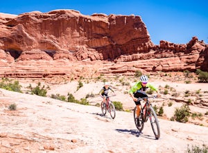
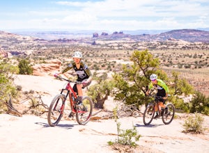
3.3 mi / 400 ft gainBig Mesa trail is the jewel of the Navajo Rocks trail system, containing all of the awesome mountain biking features one comes to expect in Moab, from slickrock to sand chutes with epic views of the terrain. Located off Utah Highway 313 at the Navajo Rocks Trailhead parking lot, 19 miles from dow...Read more -
Moab, Utah
Bike the Ramblin' Trail
3.3 mi / 200 ft gainThe Ramblin' Trail, part of the Navajo Rocks trail system, is a beginner to intermediate mountain biking trail with a great mix of slickrock, dirt trails, and some sand that features excellent views of hoodoos, Navajo Sandstone, and the general Colorado River watershed redrock. Located off Utah H...Read more -
Moab, Utah
Explore the Halfway Stage Station
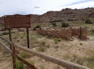
The Halfway Stage Station is a ruin site that is located off of Mill Canyon rd. This station served as the half way mark between Moab and Thompson which is where the train station was. It was 35 miles between Moab and Thomson so travelers would stop for lunch on there way to or from Thompson. The...Read more -
Moab, Utah
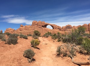
Skyline Arch
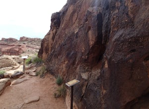
0.48 mi / 62 ft gainStarting from the parking you can see the arch. At the start of the trail there is a small sign with information about Skyline Arch. From here the trail is very straightforward and leads you up to the base of the arch. This hike may be short but it still gives you great views over Salt Valley and...Read more -
Moab, Utah
Hike the Mill Canyon Dinosaur Trail
5.01 mi / 50 ft gainThis short trail is located off Mill Canyon rd about 15 minutes north of Moab. A short walk from the parking area leads to an established interpretive trail with signage of where to look for the fossils and a description of what type of dinosaur they belong to. Several different types of dinosau...Read more -
Lone Mesa Group Gampground Road, Utah
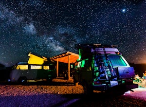
Camp at Lone Mesa Campground
Lone Mesa Campground off Utah Highway 313, 8 miles from Highway 191, and 20 miles from Moab serves as an excellent basecamp for accessing the fantastic Navajo Rocks mountain bike trail system, Dead Horse State Park, and Canyonlands National Park. In fact, the Big Mesa trail goes right through the...Read more -
Moab, Utah
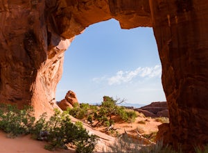
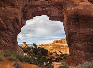
Pine Tree Arch
3.01.03 mi / 56 ft gainPine Tree Arch is one of several gorgeous arches in the Devil's Garden Area of Arches National Park, and is easily done as a quick detour on the way to the popular Landscape Arch. It is accessed from the Devil's Garden Trailhead, itself approximately 18 miles from the park entrance. From the Tra...Read more -
Moab, Utah
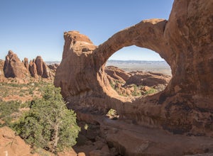
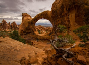
Double O Arch
4.64.09 mi / 390 ft gainStarting at the Devil's Garden Trailhead, this 4.1-mile looped moderate hike features flat sandy paths to narrow sandstone slabs with narrow ledges. The best time to complete this hike is early in the morning. Getting to the Devil's Garden Trailhead at sunrise will almost definitely guarantee you...Read more -
Moab, Utah
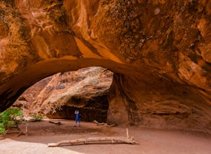
Navajo Arch via Devils Garden Trailhead
4.32.91 mi / 377 ft gainIn order to get to Navajo Arch, you will have to hike through Devils Garden Trailhead. The hike is relatively easy until you pass Landscape Arch. After that, the trail steadily climbs and you will find yourself scrambling and climbing up slickrock fins. You can stop and admire other well-known ar...Read more -
Grand County, Utah
Devils Garden Primitive Loop
4.95.01 mi / 0 ft gainThis adventure begins at Devils Garden, which is a hotspot in Arches National Park. Most people take the shorter route to see Landscape Arch and then turn around, but the Primitive Loop, while challenging at times, is completely worth it. Starting from Landscape Arch, the loop will take you to se...Read more -
Grand County, Utah
Landscape Arch
2.8Landscape Arch is considered the longest natural arch in the world, and it doesn't take too much effort to experience and see. This arch is on a trail the is part of a larger loop called "Devil's Garden" and during the summer it lives up to its name, easily topping 100 degrees, the beautiful sand...Read more

