Kane County, Utah
Looking for the best hiking in Kane County? We've got you covered with the top trails, trips, hiking, backpacking, camping and more around Kane County. The detailed guides, photos, and reviews are all submitted by the Outbound community.
Top Hiking Spots in and near Kane County
-
Marble Canyon, Arizona
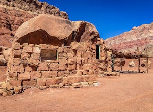
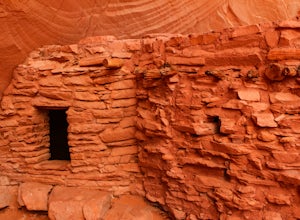
Explore the Cliff Dwellers in Marble Canyon
4.00.5 mi / 0 ft gainThe Cliff Dwellers is a unique tale that takes place the same year Prohibition began. Bill & Blanche Russel were driving through Marble Canyon when their automobile broke down. After several attempts to fix it, they found themselves camping overnight. As the sun rose the next day, they ironi...Read more -
Kane County, Utah
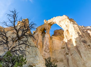
Hike to Grosvenor Arch
5.01.16 mi / 285 ft gainGrosvenor Arch is a sandstone double arch located in Grand Staircase-Escalante National Monument. The arch is named after Gilbert Hovey Grosvenor, a president of the National Geographic Society. To reach the arch, park in the trailhead parking lot off Last Chance Creek Road. The arches are vis...Read more -
Kanab, Utah
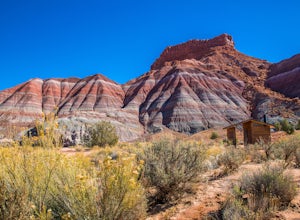
Explore Pahreah Ghost Town
5.0Pahreah was a townsite established along the Escalante River in 1870's. The town grew to include a general store, church, and enough homes to house 47 families at its peak. Due to the close proximity to the Escalante River, the town was flooded every year from 1883 to 1888, washing away crops and...Read more -
Lake Powell, Utah
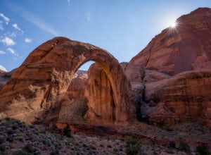
Boat-In Hike to Rainbow Bridge
1.5 miIf you need to rent a boat for this adventure, you can rent one from Lake Powell Resorts and Marina.The canyon leading into the Rainbow Bridge is located between mile markers 49-50. This is almost exactly halfway between Page and Bullfrog, making this a great trip from either marina. Plan on arou...Read more -
Lake Powell, Utah
Explore Lake Powell's Clear Creek Canyon by Powerboat
To access this adventure, you'll want to park at Bullfrog Marina. From there, you can rent a boat at the Bullfrog Marina Rentals, and head out straight from there, going south on the lake. Clear Creek Canyon lies about 2.5 miles past the entrance to the Escalante River Arm, which is located betwe...Read more -
Lake Powell, Utah
Boat-In Camp at The Rincon in Lake Powell
To get to The Rincon, you will first want to park your car and rent a boat (or bring your own power boat) at Bullfrog Marina. The marina does rentals for everything from houseboats to power boats to jet skis and kayaks/SUP boards. For this adventure, I recommend either a houseboat or a power boat...Read more -
Escalante, Utah
Hike to the Cosmic Ashtray
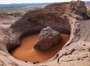
4.08 mi / 800 ft gain...As a frequent traveler, what's always motivated my travels were locations that have either been on my bucket list, or are places that are photogenic and a little off the beaten path. During my recent 3 week road trip through Northern Arizona and Southern Utah, I had the opportunity to visit a ...Read more -
Kanab, Utah
The Wave via Coyote Buttes North
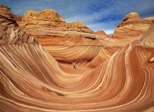
5.05.41 mi / 755 ft gainThe hike to the Wave is 2.5 miles (one-way). When you arrive, take in the sandstone showing incredible striations of red, orange, pink, yellow, and beige. Please note that this adventure is only accessible by obtaining a permit. Only 20 visitors are allowed access per day with 10 permits given on...Read more -
Kanab, Utah
Wire Pass Slot Canyon
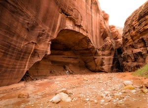
4.63.75 mi / 325 ft gainWire Pass is a hike through a scenic slot canyon that is often overlooked due to its close proximity to the very famous Wave. Unlike the "Wave" a permit is not required to make the hike, only a day use fee at the trailhead. Be sure to check local weather for rainfall and please do not go on this ...Read more -
Kanab, Utah
Hike Buckskin Gulch, Vermillion Cliffs Wilderness
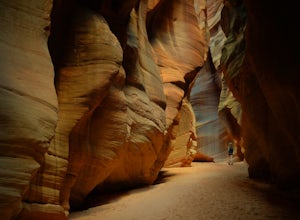
4.615 miBuckskin Gulch is a natural wonder. At 15 miles long it is the longest slot canyon in the world. It sometimes is as narrow as 2ft. Because of the nature of this canyon and Utah topography this canyon is subject to deadly flash flood if it rains anywhere along the headwaters. Be sure to check in w...Read more -
Marble Canyon, Utah
Hike the Buckskin Mountain Passage from Stateline Campground on the Arizona Trail
8 mi / 1400 ft gainDepending how you approach this 800 mile trail, I did the first 4 miles or last 4 miles as an out and back from Stateline Campground on the Utah/Arizona state line and the border of Vermilion Cliffs National Monument. This section of the trail does not pass through Vermilion Cliffs N.M. b...Read more -
Boulder, Utah
Escalante Natural Bridge
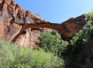
5.03.25 mi / 266 ft gainThis is a 3.2 mile hike in the Escalante River Canyon near Escalante, Utah. This hike features a number of brief river crossings, so be prepared to get wet! The hike traverses a number of small boulder fields and dense riverside vegetation before concluding at the Escalante Natural Bridge. This h...Read more -
Lake Powell, Utah
Hike to the Ancestral Puebloan Ruins in Forgotten Canyon
4 mi / 200 ft gainThe Ancestral Puebloan Ruins found up Forgotten Canyon can only be described as awe inspiring and humbling. The small adobe brick homes are known as the Defiance House. It is believed that there were a couple of families (15-20 people) who dwelled in these homes circa 1200 A.D. These ruins can ...Read more -
Boulder, Utah
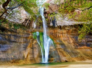
Lower Calf Creek Falls
4.65.74 mi / 515 ft gainThe trailhead for lower calf creek falls begins at the Calf Creek Campground. There is a small fee to park in the campground and a larger fee if you plan on camping in the campground. There is potable water and outhouses at the trailhead but parking can be difficult to find during the spring and ...Read more -
Escalante, Utah
Escalante River Trail: Escalante to UT-12
12.97 mi / 3373 ft gainEscalante River Trail: Escalante to UT-12 is a point-to-point trail that takes you by a river located near Eggnog, Utah.Read more -
Escalante, Utah
Backpack the Escalante River
14 mi / 400 ft gainThe Escalante River trail is an easily accessible, moderately strenuous hike within Grand Staircase-Escalante National Monument. The national monument encompasses over 2 million acres of wilderness, choc-full of large canyons, narrow slot canyons, rivers, hoodoos, arches, natural bridges and more...Read more

