Kamas, Utah
Looking for the best hiking in Kamas? We've got you covered with the top trails, trips, hiking, backpacking, camping and more around Kamas. The detailed guides, photos, and reviews are all submitted by the Outbound community.
Top Hiking Spots in and near Kamas
-
Huntsville, Utah
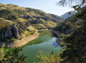
Hike the Skull Creek Trail of Causey Reservoir
4.8 mi / 400 ft gainTo get to the trailhead from Ogden, Utah, take 12th street east up canyon and around Pine View Reservoir. When you get to Huntsville, turn right and continue to head east up the canyon. IN 8 miles you will come to a sign for Causey Road. Turn right here and follow the road to the dam. Turn right ...Read more -
Layton, Utah
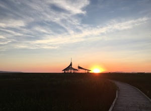
Stroll through the Great Salt Lake Shorelands Preserve
5.01 miThe wetlands of The Nature Conservancy's Great Salt Lake Shorelands Preserve are a unique system of salt and fresh water marshes, ponds, pools, sloughs and mudflats. It is a rich feeding ground for tens of thousands of migrating birds, making this destination a birder's paradise.Great for all ski...Read more -
Huntsville, Utah
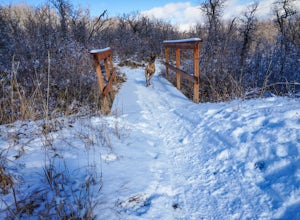
Green Pond Loop
4.52.44 mi / 436 ft gainAbout a mile before Snowbasin, is a parking lot with a map and trail marker. The first incline is steep and follows a single track trail that leads to the ponds. This trail is great year-round, but in the winter, you may have some stray backcountry snowboarders in the area. It's pretty quiet over...Read more -
Evanston, Utah
Backpack to Red Caslte Lake and Mt. Wilson
27 mi / 4200 ft gainUtah's 13ers are generally overshadowed by their 14er neighbors to the east, but do not be fooled, Utah's 13ers require a tremendous amount of effort to summit. The closest 13er to a road, Tokewanna, is about 18 miles round trip. The farthest 13er peaks are more than 30 miles round trip. These pe...Read more -
Evanston, Utah
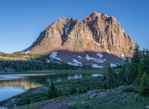
Red Castle and Red Castle Lakes
4.623.13 mi / 2149 ft gainThe Red Castle is a stunning formation of crumbling red rock that rises around several small lakes, high in the Uinta Mountains. The trail begins at the China Meadows Trailhead. From there, it heads south for about 8 miles, winding through lodgepole pine forests and skirting vast alpine meadows, ...Read more

