Holladay, Utah
Looking for the best fitness in Holladay? We've got you covered with the top trails, trips, hiking, backpacking, camping and more around Holladay. The detailed guides, photos, and reviews are all submitted by the Outbound community.
Top Fitness Spots in and near Holladay
-
Salt Lake City, Utah
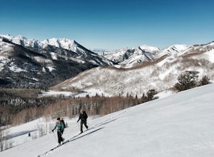
Backcountry Ski Willow Fork
3 mi / 1700 ft gainWillow Fork is just across the mountain from Solitude Ski Resort in Big Cottonwood Canyon. You can access Willow Fork from a few different trailheads; either from the Willow Heights Trailhead or across the street from both the lower and upper Solitude parking lots. The Willow Heights Trailhead wi...Read more -
Salt Lake City, Utah
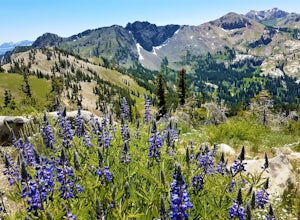
Hike Catherine Pass
4 mi / 1115 ft gainCatherine Pass is a must do if you are in the Salt Lake vicinity in July. The wildflowers are mind-blowing. But it’s a great hike to do in the Spring, after Alta Ski Resort has closed, and the Fall as well. It costs $6 per vehicle to drive to the trailhead, or $10 per person to ride the lift (if...Read more -
Salt Lake City, Utah
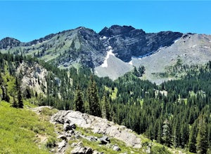
Hike Mount Wolverine
4 mi / 1425 ft gainThis mountain can be conquered two ways and is a great after-work adventure to watch the sunset, an early morning trail run, or a fun family challenge. The trail is 4 miles and 1,425 feet elevation gain (from the Alta side) or 6 miles and 2,050 feet (from the Brighton side). Both routes converge ...Read more -
Bountiful, Utah
Trail Run to Elephant Rock
4.47 mi / 1025 ft gainMueller Park is a beautiful, quaint canyon, with some sweeping up canyon views throughout the ascent. The trail is a fun, family friendly single track from the bridge all the way to the rock. You will pass a bald strip (pipeline) that runs North to South which marks about halfway to the rock. At ...Read more -
Summit County, Utah
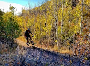
Mountain Bike the Genwild/Jeremy Ranch Trails
6 mi / 700 ft gainThere are several places to access the trail system and several good places to park on both the Jeremy Ranch side and the Glenwild side. One of my favorite options is to park at the end of Jeremy Road and then take the 24-7 trail into the action. This is also a good way to access the Flying Dog t...Read more -
Park City, Utah
Run the Historic Park City Union Pacific Rail Trail
28 mi / 800 ft gainThe Park City Rail Trail is a fantastic trail for walks, running, and biking in the spring, summer, and fall. During the winter it's groomed so you can Nordic ski, fat bike, run or walk. Park City's historic Union Pacific Rail Trail has been paved from Bonanza Drive in Park City all the way out ...Read more -
Provo, Utah
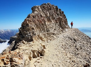
Hike Mount Timpanogos via Aspen Grove
4.014 mi / 5140 ft gainThe Aspen Grove trail is shorter but a bit steeper than the Timpanooke Trail. This usually means that fewer people take this route, and on an extremely popular mountain like Timpanogos, that’s a good thing. The trail is 14 miles round trip with an elevation gain of 5,140 feet. The hike begins at...Read more -
Wallsburg, Utah
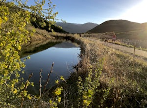
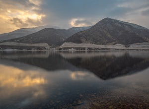
Walk the Deer Creek Dam Trail
4.08.03 mi / 400 ft gainWhile driving East, the turnoff to the trailhead is just left of the dam. There is a size-able parking lot and rest rooms available. The hike itself is a dirt path and easy to follow. Access to the water's edge is restricted until you are 1500 feet past the dam. Though the trail is designed for b...Read more -
Davis County, Utah
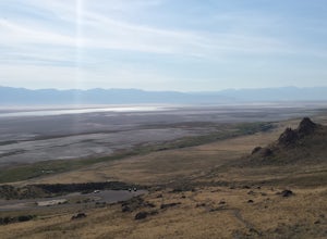
Hike the Frary Peak Trail
4.57 mi / 2050 ft gainThis is a fairly easy hike starting at the parking lot near the trailhead. You will encounter little or no obstacles on your hike, just a nice incline leading you to the highest point of the island.You will be able to see lots of buffalo roaming around most of the island on your way up. Be sure t...Read more -
Provo, Utah
The Y Trail
3.52.29 mi / 1063 ft gainHiking the Y is a classic hike in Provo, Utah—but don't expect it to be easy! There's no shade and not much greenery, so it's a hot, dusty trek to the top. Once you reach the Y, though, the view of the Provo and Utah Lake is amazing. There are also benches at the top. When you reach the Y, you w...Read more -
Huntsville, Utah
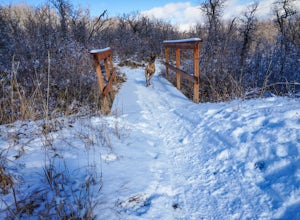
Green Pond Loop
4.52.44 mi / 436 ft gainAbout a mile before Snowbasin, is a parking lot with a map and trail marker. The first incline is steep and follows a single track trail that leads to the ponds. This trail is great year-round, but in the winter, you may have some stray backcountry snowboarders in the area. It's pretty quiet over...Read more -
Ogden, Utah
Malans Peak
5.04.3 mi / 2129 ft gainYou can reach this trail either via 27th Street or 29th Street in Ogden, Utah. Get on one of those roads and then head east until you reach the mountain. On 27th St. there is some parking on the road with a sign reminding people to keep their dogs on leash. On 29th St. there is a large parking lo...Read more

