Hildale, Utah
Top Spots in and near Hildale
-
Springdale, Utah
The Narrows, Zion NP
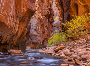
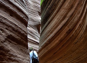
4.99.73 miHiking the narrows in Zion National Park is one of my favorite hikes and something I return for almost every year, I can still remember my first visit as a kid. There's no other place like it in the National Park system and the stunning beauty of its towering walls and vibrant river make it a top...Read more -
Virgin, Utah
The Subway - Bottom Up
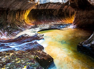
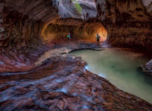
4.96.82 miStart your day early at the Left Fork Trailhead on Kolob Terrace Road from the town of Virgin outside Zion National Park. This 6.5 mile out and back hike will take you to one of the most beautiful features in Zion National Park: The Subway. You'll start with a steep descent into the canyon. This ...Read more -
Mount Carmel, Utah
Canyoneering Birch Hollow
4.3Birch Hollow is near Zion National Park, and accessible from North Fork Road (East Zion) past the Ponderosa Resort. If you do not hike out through Orderville into Zion National Park (ZNP) and the Narrows, then a ZNP Permit is not required (turning around and hiking back to your vehicle).The time ...Read more -
Virgin, Utah
Canyoneering Lambs Knoll
5.01 mi / 200 ft gainLocated just outside of Zion National Park's boundaries, Lamb's Knoll is a popular destination among adventure seekers. This area is unique as it offers routes for both climbing and canyoneering. Perfect for beginners, the canyoneering routes at Lamb's Knoll are half day routes that takes you thr...Read more -
Virgin, Utah
Rock Climb in Lambs Knoll
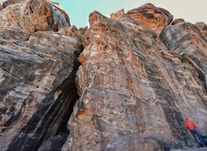
5.0If you're a rock climber, then chances are you've got Zion National Park on your list of to do's, or must go back. The beautiful sandstone just keeps calling you back and asking you to climb more. Although not technically in the park, Lambs Knoll is right across the street in the north western pa...Read more -
Kanab, Utah
Sand Caves of Kanab
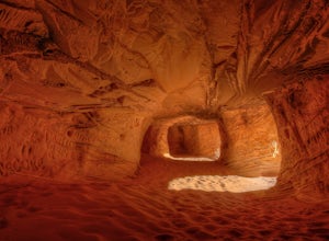
4.51.17 mi / 69 ft gainTo get to this cave, drive north of Kanab on Highway 89. Just after you pass Best Friends Animal Sanctuary, you will see these caves on the right. To hike to the caves, try accessing the trail from as far to the left as possible. The hike isn't strenuous or tricky in that case. The other thing t...Read more -
Orderville, Utah
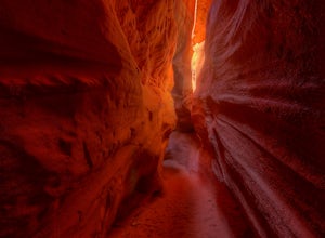
Hike through the Red Caves (Sand Wash)
5.0They don't require any technical gear unless you would like to do two short rappels near the beginning of Lower Red Cave and one short rappel into the Upper Red Cave. We didn't take a rope and were fine although the canyons are usually filled with water and have some difficult obstacles to overco...Read more -
Springdale, Utah
The Subway - Top-Down
5.07.78 miThe Subway (rated 3B III), also known as the Left Fork of the North Creek, is the most popular backcountry hike in Zion. It is one of the most diverse and beautiful canyons, as well as a fun and challenging day trip canyoneering adventure. There are two ways to explore the Subway: from the botto...Read more -
Springdale, Utah
Hike Wildcat Canyon Trail, Zion NP
5.05.88 miThis 5.8 mile (one-way) trek is a multi-functional trail. The trail can serve as standalone trail allowing hikers to get in either a solid in-and-out day hike or as a leg to a much bigger and epic Trans-Zion Trek. For those interested in the later, the Wildcat Canyon Trail is the leg of the journ...Read more -
Springdale, Utah
Hike the Northgate Peaks Trail
5.06.14 mi / 958 ft gainThe only access to the Northgate Peaks Trail is by the Wildcat Canyon Trail, which has a trailhead just off Kolob Terrace Road. From the start of the trail you have a good view of Pine Valley Peak on your right. The trail passes on the left into an open green and lush area. After hiking a little ...Read more -
Orderville, Utah
Kanab's Peek-a-Boo Canyon
4.87.71 mi / 587 ft gainThe trailhead is Red Canyon (aka Peek-a-boo) trailhead located just off of Highway 89 between Kanab and Mt. Carmel Junction. The GPX track shows the entirety of the trail, but if you have 4WD and a high-clearance vehicle, you're able to reach the closer parking area for a less than 1-mile roundtr...Read more -
Hurricane, Utah
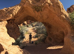
Hike Arch Trail to Babylon Arch
5.01.5 miArch Trail to Babylon Arch is a short family friendly hike to the Virgin River and back. The trail is very sandy, which makes climbing hills difficult. The arch is really neat and totally worth the visit.To get to the trailhead will require 4 wheel drive and if its recently rained I would not rec...Read more -
Virgin, Utah
Hop Valley Trail, Zion NP
3.014.58 mi / 1000 ft gainThis 6.5 mile (one-way) trek is a multi-functional trail. The trail can serve as standalone trail allowing hikers to get in either a solid in-and-out day hike or as a leg to a much bigger and epic Trans-Zion Trek. For those interested in the later, the Hop Valley Trail is the leg of the journey t...Read more -
Virgin, Utah
Connector Trail, Zion NP
5.04.9 miThis 4.9-mile (one-way) trek is a multi-functional trail. The trail can serve as standalone trail allowing hikers to get in either a solid in-and-out day hike or as a leg to a much bigger and epic Trans-Zion Trek. For those interested in the later, the Connector Trail is the leg of the journey th...Read more -
Toquerville, Utah
Toquerville Falls
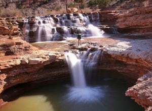
4.811.75 mi / 2044 ft gainToquerville Falls is a hidden waterfall nearby a small town named Toquerville. The road is rugged - saying rugged is kind of an understatement. Medium or high profile 4x4 is recommended. I drove a Toyota FJ Cruiser and it took me about half an hour to get there from Toquerville. The picture doesn...Read more -
Hurricane, Utah
Hike the Historic Babylon - Little Purgatory Loop
6 mi / 1000 ft gainThe trailhead has space for about three or four cars. Watch for an obvious gap in the cliffs very close to the trailhead, this is where you should park. Just before exiting the gap, look to the left for some interesting petroglyphs. The trail follows a dry wash through some heavy vegetation for a...Read more

