Henrieville, Utah
Looking for the best photography in Henrieville? We've got you covered with the top trails, trips, hiking, backpacking, camping and more around Henrieville. The detailed guides, photos, and reviews are all submitted by the Outbound community.
Top Photography Spots in and near Henrieville
-
Kanab, Utah
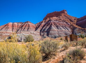
Explore Pahreah Ghost Town
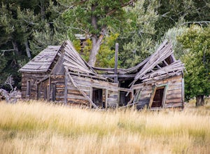
5.0Pahreah was a townsite established along the Escalante River in 1870's. The town grew to include a general store, church, and enough homes to house 47 families at its peak. Due to the close proximity to the Escalante River, the town was flooded every year from 1883 to 1888, washing away crops and...Read more -
Panguitch, Utah
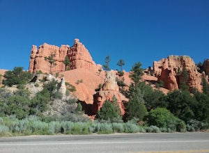
Drive the Scenic Byway 12 in Utah
5.0The Scenic HWY 12 is a great stretch en route to Bryce Canyon. Stop at the overlooks and take in the beautiful surrounding scenery. The red rocks are spectacular!Read more -
Escalante, Utah
Backpack the Escalante River
14 mi / 400 ft gainThe Escalante River trail is an easily accessible, moderately strenuous hike within Grand Staircase-Escalante National Monument. The national monument encompasses over 2 million acres of wilderness, choc-full of large canyons, narrow slot canyons, rivers, hoodoos, arches, natural bridges and more...Read more -
Kanab, Utah
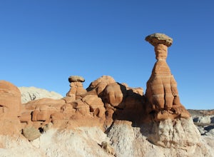
Hike to the Toadstools Hoodoos
5.01.8 mi / 141 ft gainLocated just off of the side of the US-89 highway between Springdale and Page (about 40 miles east of Kanab) you'll probably drive right past this park and have to pull a u-turn (I did!), but it's worth the stop! Keep your eyes out on the North side of the highway for a little parking lot with a ...Read more -
Kanab, Utah
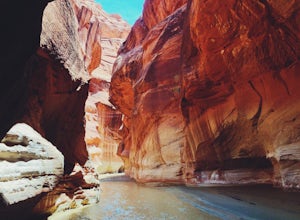
Hike through Paria Canyon
5.014.94 mi / 846 ft gainNo matter how far you plan on hiking, it is ideal to get an early start so you aren’t hiking too long under the desert sun. There is no shade on this hike except for the shadows offered from the steep walls of the canyon, so make sure you bring sunscreen! From the very start, you’ll get your fee...Read more -
Kanab, Utah
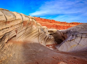
Hike to the Nautilus
4.30.5 miLike the submarine in Twenty Thousand Leagues Under The Sea, Jules Verne called it "A Masterpiece Containing Masterpieces." The Nautilus, what some say is shaped like a corkscrew or a sea shell, is a white sandstone formation with multiple colors, shapes and textures. This makes it a great place ...Read more -
Escalante, Utah
Zebra and Tunnel Slot Canyons Loop
4.86.63 mi / 535 ft gainThis place is just outside of Escalante, Utah, about 6 miles drive down the Hole in the Rock Road / BLM 200. You will see a small parking lot on the right side, the trailhead is not marked, but it's right cross the road from parking lot, once you see the trail you can just easily follow it for 1....Read more -
Escalante, Utah
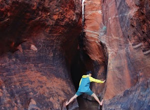
Zebra Slot Canyon
5.05.18 mi / 315 ft gainZebra slot canyon is located in the heart of Grand Staircase Escalante National Monument in southern Utah. The trail takes you through sandy washes to one of the areas most popular slot canyons to photograph and explore. The hike starts from the parking lot along Hole-In-The-Rock road. Hole-In-T...Read more -
Escalante, Utah
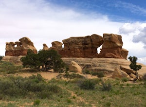
Explore Devils Garden
4.4This is a great area that the whole family can enjoy. It is located about 15 miles down the hole-in-the-rock road south of Escalante, Utah. There is a sign marking the turn-off. In the parking lot there is a restroom and a picnic area.You're free to walk among the hoodoos and even on them in some...Read more -
Duck Creek Village, Utah
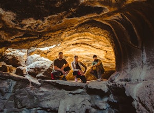
Explore the Mammoth Cave Lava Tubes
3.00.4 mi / 100 ft gainFrom the USFS website: "Mammoth Cave, at 8050 feet in elevation opens to one of the largest lava tubes in Utah with over 2200 feet of passages. Formed by cooling lava and flowing water, Mammoth Cave is part of the Markagunt Plateau. Geologists believe that some of this lava is only several thous...Read more -
Kanab, Utah
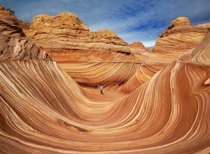
The Wave via Coyote Buttes North
5.05.41 mi / 755 ft gainThe hike to the Wave is 2.5 miles (one-way). When you arrive, take in the sandstone showing incredible striations of red, orange, pink, yellow, and beige. Please note that this adventure is only accessible by obtaining a permit. Only 20 visitors are allowed access per day with 10 permits given on...Read more -
Kanab, Utah
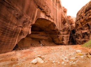
Wire Pass Slot Canyon
4.63.75 mi / 325 ft gainWire Pass is a hike through a scenic slot canyon that is often overlooked due to its close proximity to the very famous Wave. Unlike the "Wave" a permit is not required to make the hike, only a day use fee at the trailhead. Be sure to check local weather for rainfall and please do not go on this ...Read more -
Kanab, Utah
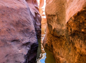
Hike Buckskin Gulch, Vermillion Cliffs Wilderness
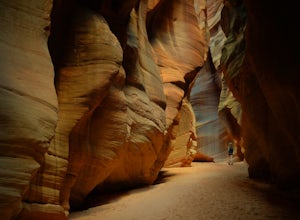
4.615 miBuckskin Gulch is a natural wonder. At 15 miles long it is the longest slot canyon in the world. It sometimes is as narrow as 2ft. Because of the nature of this canyon and Utah topography this canyon is subject to deadly flash flood if it rains anywhere along the headwaters. Be sure to check in w...Read more -
Kanab, Utah
Visit the Gunsmoke Movie Set
4.0The television series of Gunsmoke was an American classic. 635 episodes aired on prime time television over the course of twenty years, from 1955 to 1975. The movie set was the largest set constructed in the Kanab area. After the filming ended, the buildings were not maintained and became heav...Read more -
Marble Canyon, Utah
Hike the Buckskin Mountain Passage from Stateline Campground on the Arizona Trail
8 mi / 1400 ft gainDepending how you approach this 800 mile trail, I did the first 4 miles or last 4 miles as an out and back from Stateline Campground on the Utah/Arizona state line and the border of Vermilion Cliffs National Monument. This section of the trail does not pass through Vermilion Cliffs N.M. b...Read more -
Boulder, Utah
Lower Calf Creek Falls
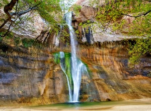
4.65.74 mi / 515 ft gainThe trailhead for lower calf creek falls begins at the Calf Creek Campground. There is a small fee to park in the campground and a larger fee if you plan on camping in the campground. There is potable water and outhouses at the trailhead but parking can be difficult to find during the spring and ...Read more

