Grand County, Utah
Looking for the best chillin in Grand County? We've got you covered with the top trails, trips, hiking, backpacking, camping and more around Grand County. The detailed guides, photos, and reviews are all submitted by the Outbound community.
Top Chillin Spots in and near Grand County
-
Moab, Utah
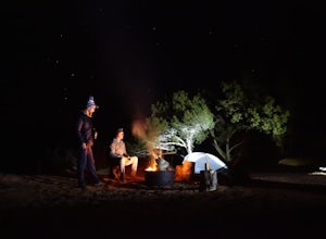
Camp at Sand Flats Recreation Area in Moab
3.0The rock domes and slickrock around the campsites provide fun for young and old to scramble on, or simply enjoy the sunrise or sunset. Located just outside of the town of Moab Utah is the Sand Flats Recreation Area. The area is managed jointly by the Bureau of Land Management and Grand County Uta...Read more -
Moab, Utah
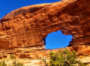
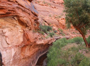
Hike to Jeep Arch
4.04 mi / 1015 ft gainJeep arch is located up the very scenic Culvert Canyon just outside Moab, UT. When coming into Moab from the north turn right onto UT 279/Potash Road and drive about 10.2 miles along side the Colorado river. You will come up to a pull out area on the right side of the road, near a large culvert u...Read more -
Moab, Utah
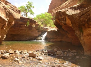
Power Dam
3.32.19 mi / 505 ft gainThis is a great little swimming hole spot in Moab. A lot of locals will call it The Power Dam. It's just a short easy 1.5-mile hike up the canyon to a natural swimming pool where you can swim and hang out. This is a perfect little spot to check out in Moab while visiting the great national parks....Read more -
Moab, Utah
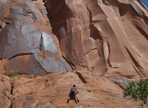
Rock Climbing Moab's Wall Street
4.4Moab's Wall Street is exactly what it sounds like, but nothing like the "Wall Street" you're familiar with. Several miles off Highway 279, it hugs the Colorado River on one side and a towering 500ft sandstone wall littered with climbing routes on the other. There is easy access to all of the clim...Read more -
Green River, Utah
Explore a Manmade Geyser in Utah
3.0Four and a half miles from the town of Green River, Utah, Crystal Geyser is one of the few manmade geysers as a result of the area's historical mining industry. This cold-water geyser usually erupts every eight to 20 hours. Getting There Getting to the geyser is easy and the site can be accessed ...Read more -
Moab, Utah
Visit the Potash Road Petroglyphs
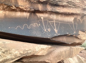
4.4Just north of Moab driving out on route 191, look for Potash Road, also known as route 279 just after the Colorado River. Turn left on Potash road and and drive five miles south. You will see a paved pull-out on the Colorado River side of the road with a sign for the petroglyphs. The rock art i...Read more -
Moab, Utah
Camp at King's Bottom
4.0Kane Creek is a massive canyon, with the Colorado river at it's feet and red cliffs towering on either side. There are numerous trail heads and campgrounds the farther you explore into the canyon. However, these sites fill up fast. The canyon restricts camping to only designated sites, capping th...Read more -
Moab, Utah
Camp at Porcupine Rim Campground
5.0Porcupine Rim Campground, just inside the Manti-La Sal National Forest, is a fantastic dispersed campsite (with bathrooms) that overlooks the hills and mesas of Castle Valley some 2000' feet below. Most are familiar with the area due to the famous Porcupine Pine Rim mountain biking trail, but the...Read more -
Moab, Utah
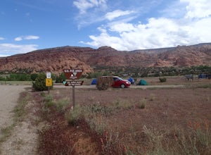
Camp at Williams Bottom Campground in Moab
4.0Williams Bottom Campground and its 17 first-come first-serve campsites are tucked into the side of the Colorado River Canyon on Utah Highway 279 aka "Potash Road" just 15 minutes from downtown Moab. It is commonly known as one of *the* rock climbing campground on the west side of Moab, as there a...Read more -
Moab, Utah
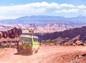
Drive Hurrah Pass
5.0Hurrah Pass is a 19.5 mile out and back trail/road that leads from the Colorado River Canyon through Kane Creek Canyon and up to Hurrah Pass at 4,780'. While technically considered a 4x4 trail once you begin your ascent out of Kane Creek Canyon, this can be done with a high clearance 2wd vehicle ...Read more -
Moab, Utah
Drive Chicken Corners
5.0From Moab, take Kane Creek Blvd out of town towards the beginning of the trailhead at the Kane Creek Recreation Parking Lot. From there, the trail is pretty much the only route available. The drive follows along a very smooth dirt road for the first six miles. Here, take a right to follow towards...Read more -
Moab, Utah
View the Petroglyphs at Birthing Rock
5.00.1 mi / 0 ft gainThis roadside boulder is just a short ride down a dirt road from Moab. From the McDonalds in Moab, head west down Kane Creek Drive. You will pass a few BLM and private campgrounds as well as various trailheads. The road will eventually become graded dirt. Follow the road until you see an obvi...Read more -
Moab, Utah
Drive Long Canyon Road
5.0Moab is an outdoor mecca, from rock climbing to mountain biking to 4WD adventures and while not particularly technical (it is only rated Class 2) the 7.8 mile Long Canyon Road just north of Dead Horse State Park is an excellent way to get a taste for the incredible features (and views) that the C...Read more -
Moab, Utah
Camp in Hunters Canyon
5.02 miMoab has become an increasingly popular adventure destination over the last few years. Its proximity to Arches and Canyonlands National Parks make it a popular spot for beginning day hikers as well as seasoned canyoneers, bikers, and climbers. It comes as no surprise that it can be a hassle to fi...Read more -
Moab, Utah
Camp at Kens Lake Campground
4.0Ken's Lake is an excellent location for peace and quiet. It is operated by the Bureau of Land Management and you can register on site or the reservation system at Recreation.gov. There are three group sites and 30 tent sites so relatively small. Faux Waterfall is within walking distance and a nic...Read more -
Moab, Utah
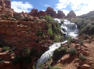
Explore Faux Falls
1 mi / 200 ft gainFaux Falls is located near the Ken's Lake campground off Route 191, 20 minutes south of Moab. When I was there it was during several days of thunderstorms. The waterfall was really gushing. Not sure how much water is running when there hasn't been rain in a while. The falls can be seen from the ...Read more

