United StatesUtahGlen Canyon National Recreation Area
Glen Canyon National Recreation Area, Utah
Top Spots in and near Glen Canyon National Recreation Area
-
Page, Arizona
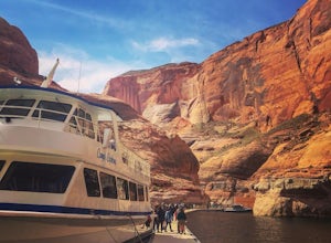
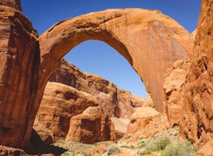
This amazing trip to one of the largest natural bridges in the world, Rainbow Bridge National Monument, begins at the Lake Powell Marina. Catch your ride at Lake Powell Resort at the Wahweap Marina. This tour the lake for a couple of hours until you reach a narrow canyon. The 50+ foot boat will m...
Read more
-
Page, Arizona
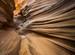
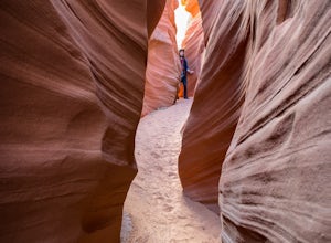
As its name suggests, Mountain Sheep Canyon offers a rugged feel and more strenuous hike than the other slot canyons in the neighborhood (Antelope Canyon and Rattlesnake Canyon). The trek is longer than it is for the other canyons (about three-quarters of a mile), and there is quite a bit of scal...
Read more
-
Page, Arizona
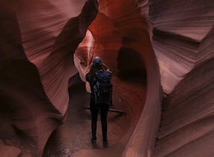
Rattlesnake Canyon is an add-on to the ever-popular Antelope Canyon photography tour. Both canyons are on Navajo land and only accessible by guided tour.The advantage to Rattlesnake Canyon is that only one tour company is allowed to operate there and they only take one group at a time. Our grou...
Read more
-
Kane County, Utah
This incredible trip isn't only about Rainbow Bridge. Honestly, the Bridge is just icing on the cake.The scenery is breathtaking along the way, changing and evolving as you pass through epic canyons and climb over rocky ledges to be rewarded with spanning vistas. It really is amazing. There's eve...
Read more
-
Kane County, Utah
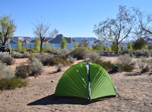
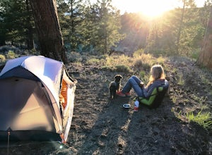
This modern campground is just steps from the beach and centrally located on the Arizona / Utah border -- perfect for exploring both sides of the Glen Canyon National Recreational Area.
You do need a national parks pass or will incure a $25 fee to enter the park (good for one week). The campgrou...
Read more
-
Boulder, Utah
5.0
1.76 mi
/ 571 ft gain
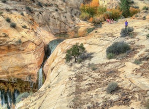
Finding the trailhead for the Upper Calf Creek Falls can be a little difficult. Head east out of Escalante and follow highway 12 for about 20.6 miles. There will be a dirt turnout on the left hand side that leads to a dirt parking lot and a trail sign with registration for the Upper Calf Creek Fa...
Read more
-
Kane County, Utah
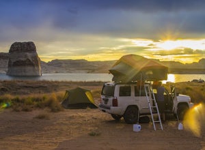
Just twelve miles north of Page, Arizona on Highway 89 across the Utah border, Lone Rock Beach is a great open beach where you can drive right up and make camp anywhere you like. There is a $10 fee to get on the beach and it can get a little busy during the summer, but it seems like you can alway...
Read more
-
Page, Arizona
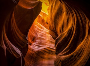
Antelope Canyon is the most-visited and most-photographed slot canyon in the American Southwest. It is located on Navajo land near Page, Arizona, and requires you to book a tour guide. But don’t let that dissuade you – this natural marvel is well worth it, and this is a must-do for amateur and p...
Read more
-
Lake Powell, Utah
Who doesn’t enjoy a little slot canyon fun?!…Not far from Hanksville, Utah is this 1-mile round trip hike to one of Utah’s less visited slot canyons. Although Blarney Canyon is generally known for its canyoneering route, you can follow either the West or East Fork wash to get to the slots. You’ll...
Read more
-
Page, Arizona
5.0
0.11 mi
/ 124 ft gain
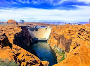
The Glen Canyon Dam separates the Colorado River from Lake Powell. The terrain on this hike is uneven and rocky. The overlook is located on Scenic View Drive off of highway 89. Glen Canyon Dam is located in Glen Canyon National Recreation Area.
Read more
-
Torrey, Utah
McMillan Springs Campground is south of Hanksville, Utah and within the Henry Mountains, which run north and south between Canyonlands, and Capitol Reef National Parks.
Situated at 8,400 feet, McMillan Springs Campground has moderate temperatures and is managed by the BLM, so fees are donation b...
Read more
-
Page, Arizona
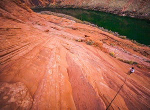
The Ropes Trail is an old hiking trail below Glen Canyon Dam that has long since been abandoned by the park service. It is also one of the few trails that leads down the steep walls into the canyon. Let me say that again, it's steep. Getting there Take Highway 89 from Page going north and take th...
Read more
-
Boulder, Utah
5.0
66.2 mi
/ 4124 ft gain
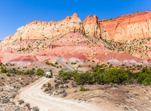
The Burr Trail is a 66 miles mostly-paved road connecting Boulder, Utah / Highway 12 with the Notom-Bullfrog road that passes through some of the most scenic (and largely untouched) painted-rock backcountry in three of our national parks/monuments including Grand Staircase-Escalante, Capitol Reef...
Read more
-
Mexican Hat, Utah
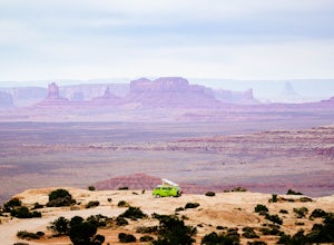
Muley Point on the southern end of the Cedar Mesa is one of the finest camping (and car camping) sites in North America, towering some 2400' above the San Juan River Canyon (and The Goosenecks State Park) looking south directly into the northern mouth of Monument Valley. It is a breathtakingly be...
Read more
-
Escalante, Utah
Escalante River Trail: Escalante to UT-12 is a point-to-point trail that takes you by a river located near Eggnog, Utah.
Read more
-
Mexican Hat, Utah
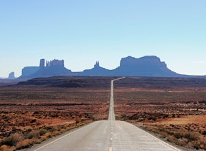
If you are in or around Monument Valley, the drive and corresponding effort to get to Forrest Gump Hill is minimal. The location is known most notably as the spot where Forrest Gump ended his cross-country run in the movie. It's also simply an unbelievable view.
From the most iconic site within M...
Read more

