Donut Falls Trailhead, Utah
Looking for the best hiking in Donut Falls Trailhead? We've got you covered with the top trails, trips, hiking, backpacking, camping and more around Donut Falls Trailhead. The detailed guides, photos, and reviews are all submitted by the Outbound community.
Top Hiking Spots in and near Donut Falls Trailhead
-
Ogden, Utah
Malans Peak
5.04.3 mi / 2129 ft gainYou can reach this trail either via 27th Street or 29th Street in Ogden, Utah. Get on one of those roads and then head east until you reach the mountain. On 27th St. there is some parking on the road with a sign reminding people to keep their dogs on leash. On 29th St. there is a large parking lo...Read more -
Ogden, Utah
Hike the Wheeler Creek and Icebox Canyon Loop
4 mi / 400 ft gainTo get to the trailhead from Ogden drive up Ogden Canyon toward Pine View Reservoir. Right when the canyon begins to open up and you can see the actual dam there is a turn off on the south side of the road that leads down a dirt road to a very small parking area and the trailhead. If the parking ...Read more -
Hanna, Utah
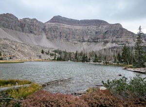
Explore Grandaddy Basin
5.0Grandaddy Lake is the largest lake in the High Unitas. While Grandaddy Lake can have plenty of hikers, there are over twenty lakes within a two-hour hike within the Grandaddy Basin. Most hikers don’t go beyond Grandaddy lake, making the area a fantastic area to explore and camp. Elevation in the ...Read more -
Huntsville, Utah
Hike the Skull Creek Trail of Causey Reservoir
4.8 mi / 400 ft gainTo get to the trailhead from Ogden, Utah, take 12th street east up canyon and around Pine View Reservoir. When you get to Huntsville, turn right and continue to head east up the canyon. IN 8 miles you will come to a sign for Causey Road. Turn right here and follow the road to the dam. Turn right ...Read more -
Evanston, Utah
Camp at Christmas Meadows in the Uinta National Forest
Just four miles from the Mirror Lake Scenic Byway, this limited site campground is a great alternative to the larger, busier campgrounds at lower elevations. There are just 11 sites here, a few of which are first-come, first-serve. Amenities include picnic tables, campfire rings, vault toilets, d...Read more -
Evanston, Utah
Backpack to Ryder Lake
4.718 mi / 2000 ft gainRyder Lake is accessed via the Stillwater Trail, beginning at the Christmas Meadows Trailhead off of Mirror Lake Highway. The trail heads due south from Christmas Meadows along the Stillwater River. It winds through lodgepole pine forests and skirts alpine meadows, gradually gaining elevation. A...Read more -
Evanston, Utah
Hike to Ostler Peak in the High Uintas
13.7 mi / 3935 ft gainHiking Ostler Peak in the High Uintas Wilderness is a serious challenge for anyone. Typically, this hike is done over 2-3 days, with an overnight at the beautiful Ostler Lake. Strong hikers can do this hike in one day, however, as long as you are prepared and know the route. The route up Ostler ...Read more -
Evanston, Utah
Amethyst Basin via Christmas Meadows
4.512.57 mi / 2303 ft gainDirections: The trail leaves from the Christmas Meadows Trailhead. From Mirror Lake Scenic Byway (US 150) turn on Christmas Meadows Rd. The campground and trailhead are around 3.5 miles down the road dirt road. The road is suitable for low clearance vehicles. Trip Length: 6 miles each way + opt...Read more -
Evanston, Utah
Kermsuh Lake Trail
5.013.04 mi / 1722 ft gainKermsuh Lake Trail is an out-and-back trail that takes you by a lake located near Oakley, Utah.Read more -
Tooele County, Utah
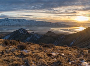
Stansbury Island Trail
2.88.87 mi / 2585 ft gainRarely will you ever see another person at the underrated Stansbury Island, the second largest island within the Great Salt Lake in Utah - even though a dirt causeway connects it to land, it is still considered an island. The lack of crowds make this a good place to hike, take photos, and enjoy t...Read more -
Payson, Utah
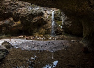
Grotto Falls
4.00.54 mi / 144 ft gainHeading in the canyon you will drive along a winding road for a while until you pass through a gate (Closed during Winter, this is where you will need to pull over and continue down the road on foot) about a mile up you will see a trailhead on the left called "Bennie Creek" and right after you wi...Read more -
Ogden, Utah
Ben Lomond via North Skyline Trail
5.015.75 mi / 3671 ft gainThe trail starts in the Right Fork North Ogden Canyon near Liberty, Utah. Park in the main parking lot and then cross the road to the trailhead. You will see a sign at the beginning indicating that the Ben Lomond summit is 8.2 miles away. In the spring, it is quite difficult to make it all the ...Read more -
Evanston, Utah
Backpack Mount Beulah via East Fork of the Bear River Trailhead
5.018 mi / 3423 ft gainGetting thereThis trip could be crammed into a really long day or even two days, but give yourself three days to really enjoy the area and not be too pressed for time.Your departure point is the East Fork of the Bear River Trailhead on the north slope of the Uintah Mountains. For most, this will ...Read more

