Croydon, Utah
Looking for the best running in Croydon? We've got you covered with the top trails, trips, hiking, backpacking, camping and more around Croydon. The detailed guides, photos, and reviews are all submitted by the Outbound community.
Top Running Spots in and near Croydon
-
Park City, Utah
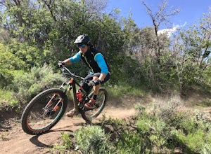
Bike or Hike Park City's Mid Mountain Trail
5.022.8 mi / 4457 ft gainThe Mid-Mountain Trail is unique to Park City. It's an epic trail that connects Deer Valley, to Park City Mountain Resort, and Canyons Village. Traversing at approximately 8,300 feet elevation, the trail is comprised of 13 sections and is a 22.8 mile point-to-point ride from Deer Valley to Canyon...Read more -
Salt Lake City, Utah
Hike the Mineral Fork Trail
4.09.3 mi / 3500 ft gainThe trailhead begins along Big Cottonwood Canyon Road, with a relatively small parking lot at the trailhead. Starting early in the day is advised, as on nice summer days it will fill up quickly. The trail has a steady ascent for the first 2 miles starting around 6700' through aspen forests and cr...Read more -
Park City, Utah
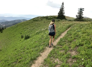
Hike Empire Pass Ridge
3.25 mi / 800 ft gainStarting at an elevation of 8,960 feet at Empire Pass, the trail follows the ridge to the west. It starts off on a gravel road, but quickly turns into a single-track trail once you pass the buried water tank. For the most part, you will stay on the ridge and have great views of Clayton Peak, Deer...Read more -
Salt Lake City, Utah
Hike Clayton Peak in Utah's Wasatch Mountains
4.03 mi / 1600 ft gainClayton Peak is approximately 1.5 miles from Guardsman Pass (3 miles round trip), and you'll gain about 1,600 feet of climbing. There is parking on top of the pass, but it fills up quickly with hikers and mountain bikers during peak season as this serves as the trailhead for Bloods Lake, Jupiter...Read more -
Holladay, Utah
Winter Hike to Mt. Olympus
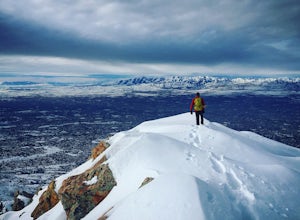
5.07 mi / 4200 ft gainApproach: You can access the well traveled Mount Olympus Trail the same as you would any other season. Park in the trailhead lot or along Wasatch Blvd. The trail starts on the south side of the parking lot.Route Description: Even in the winter the Mount Olympus trail should be pretty straightforw...Read more -
Holladay, Utah
Hike Heughs Canyon (Olympus Waterfall)
4.52 mi / 1000 ft gainHeughs Canyon starts right on the edge of Salt Lake City, but within minutes, you’re in a shady forest next to a gurgling stream. This is the prefect after-work hike that can be enjoyed year-round. Two miles round-trip and just over 1,000 feet, the path takes you to a beautiful waterfall that flo...Read more -
Salt Lake City, Utah
Hike Mount Wolverine
4 mi / 1425 ft gainThis mountain can be conquered two ways and is a great after-work adventure to watch the sunset, an early morning trail run, or a fun family challenge. The trail is 4 miles and 1,425 feet elevation gain (from the Alta side) or 6 miles and 2,050 feet (from the Brighton side). Both routes converge ...Read more -
Salt Lake City, Utah
Hike Catherine Pass
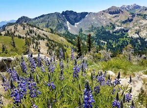
4 mi / 1115 ft gainCatherine Pass is a must do if you are in the Salt Lake vicinity in July. The wildflowers are mind-blowing. But it’s a great hike to do in the Spring, after Alta Ski Resort has closed, and the Fall as well. It costs $6 per vehicle to drive to the trailhead, or $10 per person to ride the lift (if...Read more -
Sandy, Utah
Dimple Dell Trail West
3.88 mi / 236 ft gainDimple Dell Trail West is an out-and-back trail where you may see beautiful wildflowers located near Sandy, Utah.Read more -
Kamas, Utah
Duck Lake to Marjorie Lake Loop in the Uintas
8.4 mi / 850 ft gainThe trail to Duck Lake in the Uinta Mountains starts at the Crystal Lake Trailhead and is a popular starting off point for many trails like Cliff Lake, so the parking lot fills up quickly. Starting off, follow the signs for Long Lake. At about 1.3 miles you'll come to a junction. Follow the si...Read more -
Hanna, Utah
Hike to Cuberant Lake
6 mi / 1066 ft gainThe hike to Cuberant Lake is 3-miles with a couple of steeper sections, but for the most part, it is a flat hike. From the Pass Lake Trailhead, you will head west on the Lofty Lake Loop Trail. On this part of the trail, you pass through meadows with Bald and Reid Peaks in the background, which is...Read more -
Wellsville, Utah
Box Elder Peak
4.37.57 mi / 3986 ft gainFrom the Rattlesnake Trailhead (about a mile northeast of the Sherwood Hills Resort on U.S. 89) to the peak is just under 4.5 miles. The hike is great exercise, as it's relatively steep. The steep angle provides for stunning views along the entire trail, making this one of the most picturesque hi...Read more -
Wallsburg, Utah
Walk the Deer Creek Dam Trail
4.08.03 mi / 400 ft gainWhile driving East, the turnoff to the trailhead is just left of the dam. There is a size-able parking lot and rest rooms available. The hike itself is a dirt path and easy to follow. Access to the water's edge is restricted until you are 1500 feet past the dam. Though the trail is designed for b...Read more -
Provo, Utah
Hike Mount Timpanogos via Aspen Grove
4.014 mi / 5140 ft gainThe Aspen Grove trail is shorter but a bit steeper than the Timpanooke Trail. This usually means that fewer people take this route, and on an extremely popular mountain like Timpanogos, that’s a good thing. The trail is 14 miles round trip with an elevation gain of 5,140 feet. The hike begins at...Read more

