Cottonwood Heights, Utah
Top Spots in and near Cottonwood Heights
-
Park City, Utah
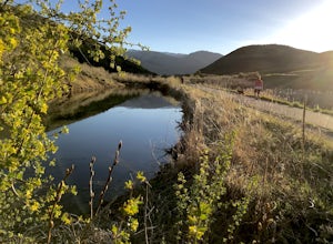
Run the Historic Park City Union Pacific Rail Trail
28 mi / 800 ft gainThe Park City Rail Trail is a fantastic trail for walks, running, and biking in the spring, summer, and fall. During the winter it's groomed so you can Nordic ski, fat bike, run or walk. Park City's historic Union Pacific Rail Trail has been paved from Bonanza Drive in Park City all the way out ...Read more -
Herriman, Utah
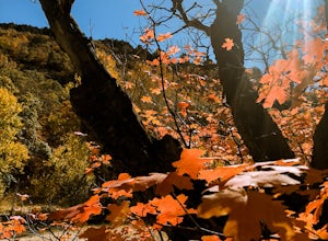
Drive Butterfield Canyon
4.5Butterfield Canyon is a little-known canyon on the west side of Utah Valley. Beautiful any time of the year, it is especially beautiful in the fall—all the leaves changing colors! When you reach the marked location, turn onto Butterfield Canyon Road. Drive until you reach the end of the road (it...Read more -
Salt Lake City, Utah
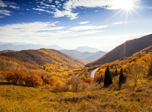
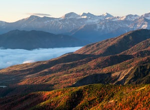
Explore Big Mountain Pass
5.01 miFamous for being the route of the Mormon Pioneers who crossed this pass on their way into the Salt Lake Valley, Big Mountain Pass is also a beautiful area to take in the fall colors. You can access this road (Utah State Route 65) from Emmigration Canyon or Parley's Canyon, the same way you would ...Read more -
Park City, Utah
Bike or Hike Park City's Mid Mountain Trail
5.022.8 mi / 4457 ft gainThe Mid-Mountain Trail is unique to Park City. It's an epic trail that connects Deer Valley, to Park City Mountain Resort, and Canyons Village. Traversing at approximately 8,300 feet elevation, the trail is comprised of 13 sections and is a 22.8 mile point-to-point ride from Deer Valley to Canyon...Read more -
Park City, Utah
Deer Valley Resort
5.07.51 mi / 1161 ft gainDeer Valley Resort is a loop trail where you may see local wildlife located near Park City, Utah.Read more -
Bountiful, Utah
Backpack to Rudy's Flat
4.07 miRudy's Flat is a great overnight hike with plenty of tent or hammock space and multiple established fire rings. This hike offers multiple options for distance depending on your availability and skill level.From the Mueller Park Canyon trailhead (5,234 ft), hikers will experience a gradual ascent ...Read more -
Bountiful, Utah
Trail Run to Elephant Rock
4.47 mi / 1025 ft gainMueller Park is a beautiful, quaint canyon, with some sweeping up canyon views throughout the ascent. The trail is a fun, family friendly single track from the bridge all the way to the rock. You will pass a bald strip (pipeline) that runs North to South which marks about halfway to the rock. At ...Read more -
Bountiful, Utah
Mountain Bike to Elephant Rock
5.0Mueller Park is a beautiful, quaint canyon, with some sweeping up canyon views throughout the ascent. The trail is a fun, flowy, well maintained single track from the bridge all the way to the rock. You will pass a bald strip (pipeline) that runs North to South which marks about halfway to the ro...Read more -
Herriman, Utah
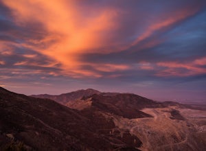
Hike to Kennecott Copper Mine
5.04 miFrom Salt Lake City go on UT-201W, then take Bacchus Highway all the way until the intersection with Butterfield Canyon Road. This is where you can park your car and follow the dirt road for roughly 2 miles until you come to a fork. One road from the fork leads to Middle Canyon and the other to t...Read more -
Park City, Utah
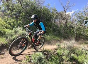
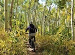
Mountain Bike Deer Valley, Park City
5.07 mi / 1200 ft gainIf you’re a downhill bomber, you came to the right place. The resort has lift-served singletrack of every difficulty with machine-built table tops, berms, tree runs and technical obstacles. If cross country is more your scene, there are miles of forested climbs, beautiful views and enjoyable down...Read more -
Provo, Utah
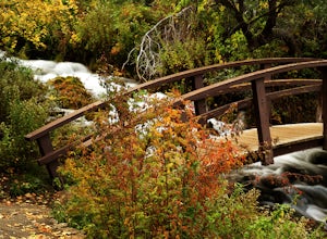
Explore Scenic Cascade Springs
4.7One of the most photogenic spots of the Timpanogos Canyon. If you take the Alpine loop you will see a sign to turn off and go to Cascade Springs. It's about a 15 minute drive from there. The parking lot is right next to the springs. The best time to go is during the fall when the leaves are chang...Read more -
Wasatch County, Utah
Capture the Sunrise above Cascade Springs
Head towards Cascade Springs from either Provo or American Fork Canyons. As you approach Cascade Springs, a couple miles out watch for small turn-outs on the right side of the road. There should be just enough room for you to park in a variety of locations on the way down to the springs. Hop out ...Read more -
Lehi, Utah
Jordan River Parkway Trail
4.045.33 mi / 2113 ft gainJordan River Parkway Trail is a point-to-point trail that takes you by a lake located near Saratoga Springs, Utah.Read more -
Provo, Utah
Hike the North Summit of Mount Timpanogos
5.016 miTo reach the north summit of Timpanogos you start out just like you would if you were going to the main summit. There are 2 different trail options to choose from; The Aspen Grove trail near Sundance Ski resort or the Timpanooke trail through American Fork Canyon. I will put the start point on th...Read more -
Provo, Utah
Hike Mount Timpanogos via Aspen Grove
4.014 mi / 5140 ft gainThe Aspen Grove trail is shorter but a bit steeper than the Timpanooke Trail. This usually means that fewer people take this route, and on an extremely popular mountain like Timpanogos, that’s a good thing. The trail is 14 miles round trip with an elevation gain of 5,140 feet. The hike begins at...Read more -
Provo, Utah
Skiing Utah's Mount Timpanogos
4.0Start at the Aspen Grove trailhead for Mt. Timpanogos. Go straight up the southwest side of Primrose Cirque and keep climbing until it levels out continue past East Timp to the shelter by Emerald Lake. From Emerald Lake, skin up where the snowfield is during the summer (south from the shelter). W...Read more

