Cisco, Utah
Top Spots in and near Cisco
-
Moab, Utah
Park Avenue Trail
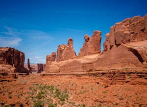
4.21.83 mi / 318 ft gainFrom the Park Avenue Trail parking area, you can walk up towards the lookout and admire the beauty, or you can hike down the steep path towards the canyon. The trail takes you down the wash to Courthouse Towers. You can either hike round trip to Courthouse Towers and back, or have someone drop yo...Read more -
Moab, Utah
Explore the Halfway Stage Station
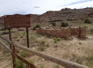
The Halfway Stage Station is a ruin site that is located off of Mill Canyon rd. This station served as the half way mark between Moab and Thompson which is where the train station was. It was 35 miles between Moab and Thomson so travelers would stop for lunch on there way to or from Thompson. The...Read more -
Fruita, Colorado
Backpack in the Black Ridge Canyons Wilderness
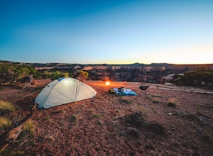
4.2 mi / 1000 ft gainIf you're looking to backpack outside of the highly publicized areas of Colorado (aka the Rockies), head out to Western CO for some amazing experiences. Located 4 hours west of Denver along I-70 is the McInnis Canyon National Conservation Area (NCA). Overseen by the Bureau of Land Management (BLM...Read more -
Fruita, Colorado
Hike the Rattlesnake Arches Trail in Black Ridge Wilderness
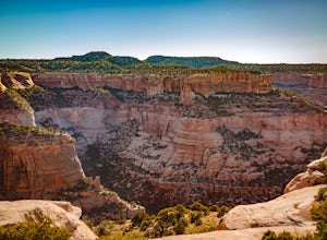
4.03.2 mi / 300 ft gainPut simply, Rattlesnake Arches is home to some of the most beautiful views you'll ever experience in the United States. This portion of the Rattlesnake Arches Trail follows along the upper rim of the canyon and allows you to experience 9 total arches within about 2 miles of hiking. The hike along...Read more -
Moab, Utah
Drive Fins & Things
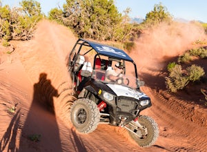
5.09.4 mi / 900 ft gainFins & Things is a 9.4 mile classic Moab ATV / 4WD trail rated 5 by the Red Rock Four-Wheelers. It is steep, has great traction, some fantastic slalom cutes and of course, glorious views of the Moab redrock scenery. The one-way trail is broken into three sections and begins at campsite E-6 in...Read more -
Moab, Utah
Trail Run Moab's Slickrock Trail
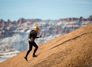
8.8 mi / 944 ft gainThe Slickrock Trail is well known in the mountain biking community and has put Moab on the map as one of the premier mountain biking destinations in the world. The good news for folks who don't mountain bike is that it's just as much fun to run or hike.It's a loop trail and very well marked with ...Read more -
Moab, Utah
Ride the Slick Rock Mountain Bike Trail
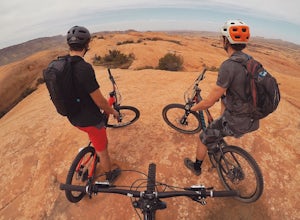
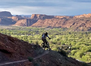
5.010.7 mi / 819 ft gainThe Slick Rock mountain bike trail is a great trail option for all skill levels looking to get a taste of what Moab has to offer. The trail is unique in that it is almost entirely on rock, with only a few patches of sand and mud scattered throughout the 10 mile loop. The trail is easy to follow d...Read more -
Moab, Utah
Mountain Bike the Moab Brand Trails
5.010 mi / 200 ft gainThe Moab Brand Trails are a series of trails about 7 miles north of the Colorado River, north of Moab. They get their name from four of the major trails that spell out "MOAB." They include the Bar M, Circle O, Rockin A and Bar B. I was curious how they came to the names and my local bike shop m...Read more -
Moab, Utah
Camp at Sand Flats Recreation Area in Moab
3.0The rock domes and slickrock around the campsites provide fun for young and old to scramble on, or simply enjoy the sunrise or sunset. Located just outside of the town of Moab Utah is the Sand Flats Recreation Area. The area is managed jointly by the Bureau of Land Management and Grand County Uta...Read more -
Moab, Utah
Power Dam
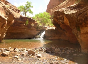
3.32.19 mi / 505 ft gainThis is a great little swimming hole spot in Moab. A lot of locals will call it The Power Dam. It's just a short easy 1.5-mile hike up the canyon to a natural swimming pool where you can swim and hang out. This is a perfect little spot to check out in Moab while visiting the great national parks....Read more -
Fruita, Colorado
Float Ruby-Horsethief Canyons
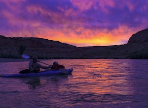
To do the entire 26-mile float, put in at the Loma River access, several miles west of Fruita and just a short drive from I-70. From the Loma access there is no other easy access point until 26 miles later, at Westwater in Utah.Once on the water you will be able to relax and enjoy the beautiful s...Read more -
Moab, Utah
Mountain Bike the Pipe Dream Trail in Moab
6 mi / 730 ft gainThere are multiple trailheads to access the Pipe Dream trail in Moab. This time we chose to start at the Jackson Street parking area and rode the pipeline trail south for approximately 3-miles. This section of trail is a 2-track road that follows, you guessed it, the gas pipeline. It climbs aroun...Read more -
Moab, Utah
Mountain Bike Portal Trail
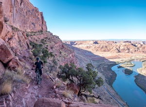
2 mi / 1388 ft gainIf you are looking to ride one of Moab's famed mountain bike trails, then look no further than the Portal Trail. It's a short 2-mile trail that starts on the rim above the Colorado River and descends 1,388. To access the Portal Trail you can take a shuttle from town to the top of the Magnificent...Read more -
Moab, Utah
Rock Climbing Moab's Wall Street
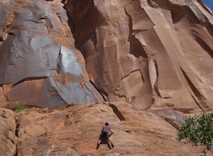
4.4Moab's Wall Street is exactly what it sounds like, but nothing like the "Wall Street" you're familiar with. Several miles off Highway 279, it hugs the Colorado River on one side and a towering 500ft sandstone wall littered with climbing routes on the other. There is easy access to all of the clim...Read more -
Moab, Utah
Corona Arch Trail
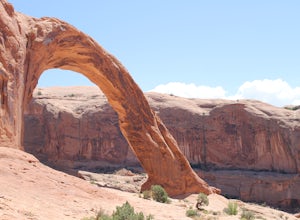
4.72.32 mi / 525 ft gainThis is an easy 2.3-mile hike to an amazing arch in Moab that ISN'T in Arches National Park. If you have every seen any “arch swing” videos this is where its done! Hangout under this massive arch without much of a crowd. This should only take a couple of hours round trip depending on hiking speed...Read more -
Moab, Utah
Night Photography at Corona Arch
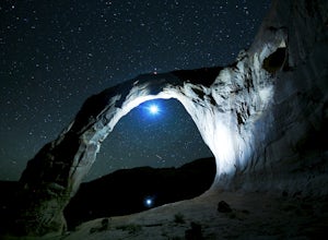
5.03 miFirst and foremost: Don't attempt to climb the arch at night. It's potentially unsafe and the BLM has banned roped activities meaning that you would have to go ropeless. Save this activity for the daytime or avoid it altogether. This is a quick 1.5 mile one-way hike to the arch. The trail is well...Read more

