Cisco, Utah
Looking for the best hiking in Cisco? We've got you covered with the top trails, trips, hiking, backpacking, camping and more around Cisco. The detailed guides, photos, and reviews are all submitted by the Outbound community.
Top Hiking Spots in and near Cisco
-
Cisco, Utah
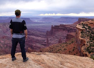
Off Road to the Top of The World
13.2 mi / 2000 ft gainThe off road trail called Top of the World is a dirt road meant for *OFF ROAD VEHICLES ONLY*. All wheel drives jeeps and trucks are most common on this route but it is frequented by ATV and Dirt Bike users as well. If you elect to hike this route be mindful of their presence and give off-road veh...Read more -
Moab, Utah
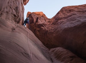
Descend Lost and Found Canyon
4 mi / 600 ft gainFor this descent you will need two 60 meter ropes, an Arches National Park canyoneering permit, be comfortable with 4th class slick rock, and have your usual canyoneering kit. This canyon does require some basic chimneying and canyoneering climbing techniques as well. The trailhead can be reache...Read more -
Moab, Utah
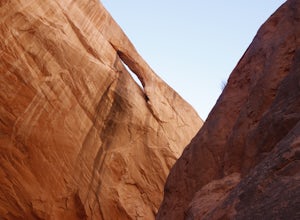
Descend MMI Canyon
3 mi / 700 ft gainFor this descent you will need to be comfortable with 4th class slick rock, have two 60m ropes, and an Arches National Park canyoneering permit along with your usual canyon kit. MMI Canyon can be accessed with 4WD/AWD as long as it has not rained. The pin on the map will take you to this locati...Read more -
Grand County, Utah
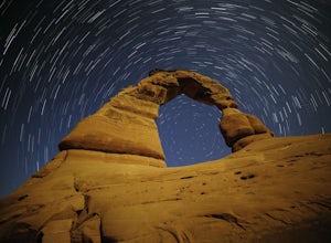
Delicate Arch
4.83.18 mi / 554 ft gainI headed out to the trailhead because I really wanted to shoot the super moon with the Delicate Arch. It was absolutely fantastic, especially during such a full moon. Everything was bathed in a soft glow, it was like I was on another planet actually. It was amazing to sit in silence and to try to...Read more -
Moab, Utah
Rock Climb Dragonfly Canyon
5 mi / 400 ft gainThis canyon is a bit more advanced as it requires a mandatory swim and most likely a section of wet pot holes to surmount which, if dry, can also pose their own challenge. You will need standard canyoneering gear as well as two 60m ropes for the last rappel. Start by parking on a small pullout on...Read more -
Grand County, Utah
Devils Garden Primitive Loop
4.95.01 mi / 0 ft gainThis adventure begins at Devils Garden, which is a hotspot in Arches National Park. Most people take the shorter route to see Landscape Arch and then turn around, but the Primitive Loop, while challenging at times, is completely worth it. Starting from Landscape Arch, the loop will take you to se...Read more -
Grand County, Utah
Landscape Arch
2.8Landscape Arch is considered the longest natural arch in the world, and it doesn't take too much effort to experience and see. This arch is on a trail the is part of a larger loop called "Devil's Garden" and during the summer it lives up to its name, easily topping 100 degrees, the beautiful sand...Read more -
Grand County, Utah
Partition Arch
4.52.88 mi / 364 ft gainHiking to Partition Arch begins at Devils Garden Trailhead which is at the end of the 16 mile Arches Scenic Drive road. Make sure to get to the trailhead early for 2 reasons: beating crowds and beating the heat. Arriving at sunrise will almost guarantee you a parking spot. Budget 2-3 hours round...Read more -
Moab, Utah
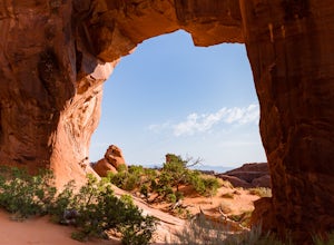
Pine Tree Arch
3.01.03 mi / 56 ft gainPine Tree Arch is one of several gorgeous arches in the Devil's Garden Area of Arches National Park, and is easily done as a quick detour on the way to the popular Landscape Arch. It is accessed from the Devil's Garden Trailhead, itself approximately 18 miles from the park entrance. From the Tra...Read more -
Moab, Utah
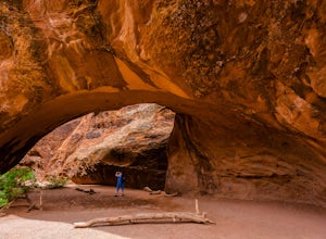
Navajo Arch via Devils Garden Trailhead
4.32.91 mi / 377 ft gainIn order to get to Navajo Arch, you will have to hike through Devils Garden Trailhead. The hike is relatively easy until you pass Landscape Arch. After that, the trail steadily climbs and you will find yourself scrambling and climbing up slickrock fins. You can stop and admire other well-known ar...Read more -
Moab, Utah
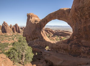
Double O Arch
4.64.09 mi / 390 ft gainStarting at the Devil's Garden Trailhead, this 4.1-mile looped moderate hike features flat sandy paths to narrow sandstone slabs with narrow ledges. The best time to complete this hike is early in the morning. Getting to the Devil's Garden Trailhead at sunrise will almost definitely guarantee you...Read more -
Moab, Utah
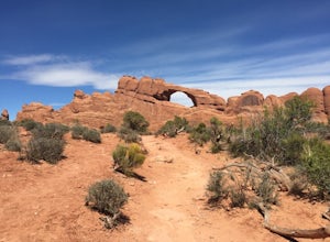
Skyline Arch
0.48 mi / 62 ft gainStarting from the parking you can see the arch. At the start of the trail there is a small sign with information about Skyline Arch. From here the trail is very straightforward and leads you up to the base of the arch. This hike may be short but it still gives you great views over Salt Valley and...Read more -
Grand County, Utah
Broken Arch and Sand Dune Arch
5.01.5 mi / 187 ft gainStarting at the Sand Dune Trailhead, there is a trail among the brush, which is pretty well marked. Just after starting, you'll see some fins on your right with a sign indicating the Sand Dune Arch. This is a short 0.2mi spur trail that leads to an arch surrounded by tall fins. To keep going, fo...Read more -
Grand County, Utah
Fiery Furnace Loop
4.51.53 mi / 328 ft gainArches National Park is an incredible place with a variety of places to explore. One of the great places to explore is the Fiery Furnace. The Fiery Furnace requires a permit, which can be obtained at the Visitor Center after watching a short video. For the most part, they are making sure you are ...Read more -
Thompson, Utah
Photograph Sego Canyon Indian Rock Art
0.3 mi / 0 ft gainLocated north of Moab, off U.S. Route 70 is Sego Canyon. There is a dirt road that travels north up into the canyon to an interesting and unique area of Indian rock art. There are three different sections covering three different time periods and Indian groups. The petroglyph panel to the left ...Read more -
Mack, Colorado
Hike the Trail Through Time Paleontological Trail
1.5 miThe trail is adjacent to an active dinosaur quarry, and while there were no scientists at work while we were there, apparently you can see paleontologists at work in the spring and summer.Take the interpretive trail up towards the small mesa and check out the signs pointing out fossils along the ...Read more

