Cedar City, Utah
Looking for the best hiking in Cedar City? We've got you covered with the top trails, trips, hiking, backpacking, camping and more around Cedar City. The detailed guides, photos, and reviews are all submitted by the Outbound community.
Top Hiking Spots in and near Cedar City
-
Duck Creek Village, Utah
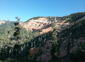
Hike the Cascades Trail in Dixie National Forest
1.2 mi / 137 ft gainHiked the cascades trail from the parking lot through a forest of spruce trees and many interesting wildflowers. The trail has good views of the National Forest and Zion National Park in the distance. The trail has some elevation gain but not too bad. The waterfall is rather small but a refreshi...Read more -
Cedar City, Utah
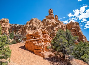
Hike the Hoodoo Loop Trail in Dixie National Forest
5.00.3 miHoodoo's are unique rock formations formed over many years by erosion. In this region, the hoodoos are formed through a process called frost wedging. This is the process of repeated freeze thaw cycles. As snow melts the water seeps between the cracks in the rocks then freezes at night when the...Read more -
Springdale, Utah
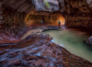
The Subway - Top-Down
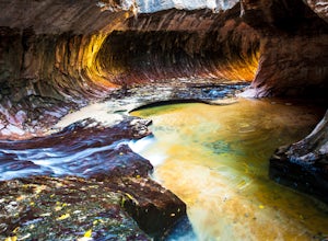
5.07.78 miThe Subway (rated 3B III), also known as the Left Fork of the North Creek, is the most popular backcountry hike in Zion. It is one of the most diverse and beautiful canyons, as well as a fun and challenging day trip canyoneering adventure. There are two ways to explore the Subway: from the botto...Read more -
Springdale, Utah
Hike Wildcat Canyon Trail, Zion NP
5.05.88 miThis 5.8 mile (one-way) trek is a multi-functional trail. The trail can serve as standalone trail allowing hikers to get in either a solid in-and-out day hike or as a leg to a much bigger and epic Trans-Zion Trek. For those interested in the later, the Wildcat Canyon Trail is the leg of the journ...Read more -
Springdale, Utah
Hike the Northgate Peaks Trail
5.06.14 mi / 958 ft gainThe only access to the Northgate Peaks Trail is by the Wildcat Canyon Trail, which has a trailhead just off Kolob Terrace Road. From the start of the trail you have a good view of Pine Valley Peak on your right. The trail passes on the left into an open green and lush area. After hiking a little ...Read more -
Virgin, Utah
Hop Valley Trail, Zion NP
3.014.58 mi / 1000 ft gainThis 6.5 mile (one-way) trek is a multi-functional trail. The trail can serve as standalone trail allowing hikers to get in either a solid in-and-out day hike or as a leg to a much bigger and epic Trans-Zion Trek. For those interested in the later, the Hop Valley Trail is the leg of the journey t...Read more -
Virgin, Utah
Connector Trail, Zion NP
5.04.9 miThis 4.9-mile (one-way) trek is a multi-functional trail. The trail can serve as standalone trail allowing hikers to get in either a solid in-and-out day hike or as a leg to a much bigger and epic Trans-Zion Trek. For those interested in the later, the Connector Trail is the leg of the journey th...Read more -
Duck Creek Village, Utah
Hike The Narrows: Top Down
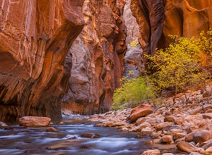
5.015.38 miTHE NARROWS This by far one of the most scenic and awesome hikes available in any National Park. There is no place in Zion National Park more sublime in its beauty and awe inspiring in its creation as you hike through the crystal clear Virgin River and marvel at the myriad of red, orange, yellow...Read more -
Virgin, Utah
Rock Climb in Lambs Knoll
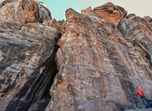
5.0If you're a rock climber, then chances are you've got Zion National Park on your list of to do's, or must go back. The beautiful sandstone just keeps calling you back and asking you to climb more. Although not technically in the park, Lambs Knoll is right across the street in the north western pa...Read more -
Virgin, Utah
Canyoneering Lambs Knoll
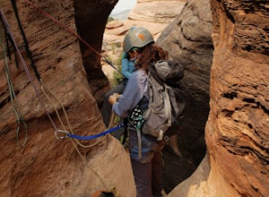
5.01 mi / 200 ft gainLocated just outside of Zion National Park's boundaries, Lamb's Knoll is a popular destination among adventure seekers. This area is unique as it offers routes for both climbing and canyoneering. Perfect for beginners, the canyoneering routes at Lamb's Knoll are half day routes that takes you thr...Read more -
Mount Carmel, Utah
Canyoneering Birch Hollow
4.3Birch Hollow is near Zion National Park, and accessible from North Fork Road (East Zion) past the Ponderosa Resort. If you do not hike out through Orderville into Zion National Park (ZNP) and the Narrows, then a ZNP Permit is not required (turning around and hiking back to your vehicle).The time ...Read more -
Duck Creek Village, Utah
Explore the Mammoth Cave Lava Tubes
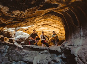
3.00.4 mi / 100 ft gainFrom the USFS website: "Mammoth Cave, at 8050 feet in elevation opens to one of the largest lava tubes in Utah with over 2200 feet of passages. Formed by cooling lava and flowing water, Mammoth Cave is part of the Markagunt Plateau. Geologists believe that some of this lava is only several thous...Read more -
Virgin, Utah
The Subway - Bottom Up
4.96.82 miStart your day early at the Left Fork Trailhead on Kolob Terrace Road from the town of Virgin outside Zion National Park. This 6.5 mile out and back hike will take you to one of the most beautiful features in Zion National Park: The Subway. You'll start with a steep descent into the canyon. This ...Read more -
Springdale, Utah
The Narrows, Zion NP
4.99.73 miHiking the narrows in Zion National Park is one of my favorite hikes and something I return for almost every year, I can still remember my first visit as a kid. There's no other place like it in the National Park system and the stunning beauty of its towering walls and vibrant river make it a top...Read more -
Washington County, Utah
Zion National Park Bus stop 8
2.7According to the park, there is nothing at this spot, so not many people stop. If you do not like large crowds, this is the perfect place to stop. There is a small trail that leads to the river and a beautiful vista with the massive canyon walls on all sides. There are several areas in this part ...Read more -
Springdale, Utah
Weeping Rock
4.00.5 mi / 98 ft gainThis trail begins at the Weeping Rock parking lot. You must cross a stream on a bridge and then follow the trail to the left. The trail is nice and cool at the top and you may get some mist or water on you from the weeping rock. Perfect to cool you off after the steep trek up to the rock! It's ...Read more

