Castle Valley, Utah
Top Spots in and near Castle Valley
-
Moab, Utah
Hike the Big Horn Overlook Trail
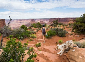
4.03.5 mi / 0 ft gainAs a pet owner, you probably know that bringing your pooch along on your National Park adventures can be a frustrating experience. Most of our Parks do not allow pets on trails, and for several good reasons, but if you bring your dog(s) with you to Moab country, you’ll be happy to know that there...Read more -
Moab, Utah
Hike the West and East Rim Loop at Dead Horse Point
5.04.98 mi / 928 ft gainThis is a 5.5 mile loop, if you opt out of the several in/outs to various lookout points, which extend the hike to about 10 miles -- do not opt out! These lookout points get better and better. However, you can skip the only modest part of the trail, where the West and East rims of the trail meet...Read more -
Moab, Utah
Magnificent 7 Trail
22.12 mi / 2254 ft gainThe Mag 7 a relatively new mountain bike route in 2012 that parallels Gemini Bridge road where the trail begins. The trail consists of 4 sections, Bull Run, Arth's Corner, Little Cyn, Gold Bar and Gold Bar Rim. Everyone is talking about this route and it is all great. I have to agree. This will b...Read more -
Moab, Utah
Capture Sunrise at Dead Horse Point SP
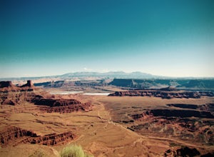
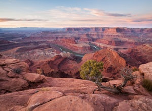
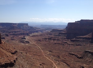
5.0Dead Horse Point State Park sits next to Canyonlands National Park with expansive views of the canyons carved by the Colorado River. The park can be accessed year-round and the best views are within feet of the parking lot. To capture the warm light of sunrise on the red rocks, head for the wes...Read more -
Lone Mesa Group Gampground Road, Utah
Camp at Lone Mesa Campground
Lone Mesa Campground off Utah Highway 313, 8 miles from Highway 191, and 20 miles from Moab serves as an excellent basecamp for accessing the fantastic Navajo Rocks mountain bike trail system, Dead Horse State Park, and Canyonlands National Park. In fact, the Big Mesa trail goes right through the...Read more -
Moab, Utah
Drive Long Canyon Road
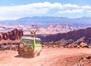
5.0Moab is an outdoor mecca, from rock climbing to mountain biking to 4WD adventures and while not particularly technical (it is only rated Class 2) the 7.8 mile Long Canyon Road just north of Dead Horse State Park is an excellent way to get a taste for the incredible features (and views) that the C...Read more -
Moab, Utah
Camp at Horsethief Campground
4.7Just 25 minutes from the town of Moab and even less from the Island in the Sky district of Canyonlands National Park and Dead Horse Point State Park (the lookout photo above is from this point), this location is pretty ideal. Great options for mountain biking (like the Intrepid Trails, Shafer Tra...Read more -
Cisco, Utah
Explore the Ghost Town of Cisco
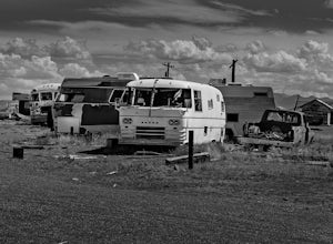
5.0On our way to Moab from Colorado we choose to take the scenic route when some friends told us about this little Ghost Town. I kept the family in the car as I explored around and took photos, as this place had a super creepy vibe. I kept getting this errie feeling that someone was watching me, and...Read more -
Thompson, Utah
Climb Lesson in Braille, Sunshine Wall near Arches NP
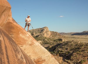
This area is super quiet and uncrowded and hosts a fun mix of sport and trad climbing. This particular route is bolted, so are most immediately surrounding it. The route works across a few slabby, mildly spooky moves (slightly run out) at the beginning then cruises up a fun arete to the bolted a...Read more -
Moab, Utah
Mountain Bike Moab's White Rim Trail
5.0100 miThis trip can be done with an outfit or independently. The outfit Escape Adventures is highly recommended. They send two guides - one drives a pickup behind with all the camping gear. If you don't have the money or interest, however, it is possible to simply use panniers or a backpack to carry ev...Read more -
Moab, Utah
Mountain Bike the Shafer Trail in Moab
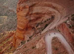
5.05 miThe best way to ride the Shafer Trail is to bring a support vehicle (one with 4WD and decently high clearance). If you're into a sufferfest, by all means climb your way out of there. You can also include it on a much, much longer ride like the White Rim Trail. But if you just want to experience t...Read more -
Monticello, Utah
Explore Looking Glass Arch
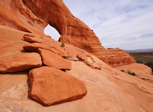
4.0Getting there:From Moab, follow Highway 191 south for about 23 miles until you get to Looking Glass Road/Co. Rd. 131. Take a right and follow the road for about 2 miles and then turn left into the parking lot.It is only about 0.10 miles from the parking lot to the arch itself, but there is a ~150...Read more -
Moab, Utah
Climb Wilson Arch
Wilson Arch is a common stop for people visiting the local national parks and Moab, but with some general climbing knowledge and gear you can make this into a longer outing. If coming from Moab, the arch is obvious on your left about 25 miles south. There is ample parking on both sides of the r...Read more -
Moab, Utah
Hike the Neck Spring Trail
5.8 mi / 260 ft gainWith minor changes in elevation, a couple easy scrambles and the opportunity to find your route by cairns, the Neck Spring Trail is the perfect way to get acquainted with Island in the Sky area of Canyonlands National Park.Starting at the Shafer Canyon Overlook parking lot, the Neck Spring trail ...Read more -
Moab, Utah
Backpack the Lathrop Canyon Trail in Canyonlands
18 mi / 2130 ft gainAccess to this trailhead is a few miles south of the Islands in the Sky Visitor Center in Canyonlands National Park. An easy drive from Moab or Interstate 70. Remember to get permits and check in with the rangers if camping. If just doing a day hike then no permits are needed. REMINDER: There is ...Read more -
Moab, Utah
Hiking to Wilson Arch
4.3To get to Wilson Arch, drive south of Moab on US-191 S for about 25 miles. The arch is right off US-191S and there is parking on either side of the highway. Keep an eye out after you pass the LaSal Junction - the arch is visible from the road.From the parking lot there is a a very short (~0.5 mil...Read more

