Canyonlands, Utah
Looking for the best chillin in Canyonlands? We've got you covered with the top trails, trips, hiking, backpacking, camping and more around Canyonlands. The detailed guides, photos, and reviews are all submitted by the Outbound community.
Top Chillin Spots in and near Canyonlands
-
Moab, Utah
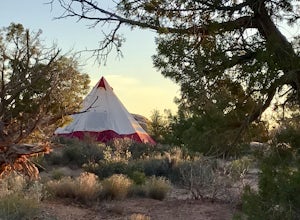
Camp at Willow Springs Trail
4.0Willow Springs Trail is state-owned land located 13 miles north of downtown Moab Utah. The state provides some vault toilets and port-o-lets throughout the area, but there are no designated campsites or fire rings. Along the main road, there are plenty of large flat spots that people with RV's or...Read more -
Moab, Utah
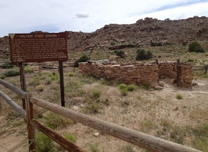
Explore the Halfway Stage Station
The Halfway Stage Station is a ruin site that is located off of Mill Canyon rd. This station served as the half way mark between Moab and Thompson which is where the train station was. It was 35 miles between Moab and Thomson so travelers would stop for lunch on there way to or from Thompson. The...Read more -
Moab, Utah
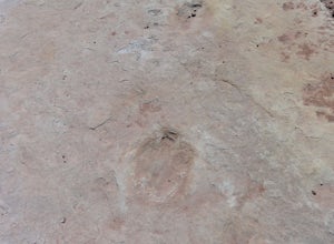
Explore the Willow Springs Dinosaur Tracks
4.0I'm always find dinosaur tracks fascinating. Willow Springs has a few cool tracks not as defined as others but definitely noticeable. There is also an interpretive sign describing the tracks installed by the Bureau of Land Management. To find the tracks, drive north on 191. Over the Colorado Rive...Read more -
Moab, Utah
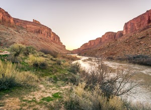
Camp at Drinks Canyon
5.0Drinks Canyon Camping Area is located just 6 miles up the Colorado River on Hwy 191 from Moab. This BLM managed campsite has 17 sites that are all first-come, first served. Just a short drive from Arches National Park, Canyonlands National Park, Fisher Towers, and the surrounding BLM land, Drinks...Read more -
Lake Powell, Utah
Blarney Slot Canyons
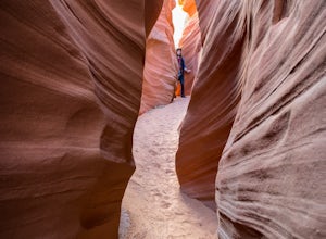
Who doesn’t enjoy a little slot canyon fun?!…Not far from Hanksville, Utah is this 1-mile round trip hike to one of Utah’s less visited slot canyons. Although Blarney Canyon is generally known for its canyoneering route, you can follow either the West or East Fork wash to get to the slots. You’ll...Read more -
Moab, Utah
Window Arch Loop
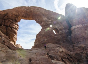
5.01.14 mi / 62 ft gainTo get to the trailhead: After entering the park, keep driving along the main road until you see signs for The Windows Area (just past the Balanced Rock and a little over 9 miles from the Visitor Center). Follow this road until it ends in a parking lot and you see the arches to your right. The ...Read more -
Moab, Utah
Photograph the Milky Way at North Window Arch
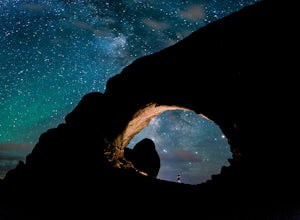
4.7Arches National Park is a must see for all photographers, but especially for astrophotography. Many of the most common places to shoot are balanced rock, and Delicate Arch and there's a good reason, these are beautiful places. North Window Arch is much less common, and even on a moonless night,...Read more -
Moab, Utah
Camp at Porcupine Rim Campground
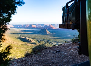
5.0Porcupine Rim Campground, just inside the Manti-La Sal National Forest, is a fantastic dispersed campsite (with bathrooms) that overlooks the hills and mesas of Castle Valley some 2000' feet below. Most are familiar with the area due to the famous Porcupine Pine Rim mountain biking trail, but the...Read more -
Moab, Utah
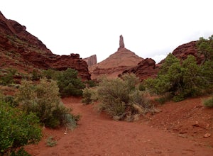
Hike to Castleton Tower
5.04 mi / 300 ft gainCastleton Tower is a popular destination for rock climbing when in the Moab area. However, if you are not a rock climbing, you can still enjoy the scenery of the tower and the surrounding desert. Located on BLM land, there are several access trails off the La Sal Loop road. You can't miss the tow...Read more -
Moab, Utah
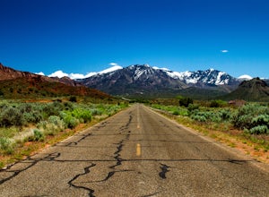
Drive through Scenic Castle Valley
5.0Going west on Highway 128 towards Moab, take a left onto La Sal Loop Road. And you're there! To get back to Highway 128, simply turn back on the same road. You can also take a right onto Porcupine Ranch Road, meeting at La Sal Loop Road again, eventually reaching Highway 128.During this drive, yo...Read more -
Green River, Utah
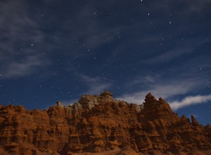
Exploring Goblin Valley
4.5Goblin Valley Can entertain you for 1 hour or 10. There are no established trails, so you are free to wander around the entire park. There are cliffs to climb, slot canyons to explore and hoodoos to discover. From the parking area, you descend about 100 feet into the valley. Once you are down the...Read more -
Garfield County, Utah
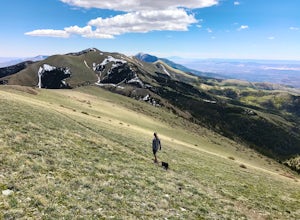
Hike Mount Ellen in Utah's Henry Mountains
4.04 mi / 1091 ft gainMount Ellen is considered an Ultra Prominent Peak. What's that you may ask? Well, Ultra Prominent Peaks are determined by how high the summit rises above its surroundings. Rising 5,812 feet above the desert floor with a summit elevation of 11,527 feet, Mount Ellen is the third most prominent peak...Read more

