Brighton, Utah
Looking for the best photography in Brighton? We've got you covered with the top trails, trips, hiking, backpacking, camping and more around Brighton. The detailed guides, photos, and reviews are all submitted by the Outbound community.
Top Photography Spots in and near Brighton
-
Alta, Utah
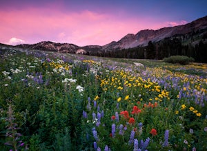
Albion Meadows Trail
4.92.86 mi / 696 ft gainAt Albion Basin, wildflowers you will see include lupine, Indian paintbrush, American bistort, sunflowers, fireweed, and many more! Drive to the very top of Little Cottonwood Canyon and park at the Albion Grill. There is a trail just behind the Grill that takes you through a variety of wildflowe...Read more -
Alta, Utah
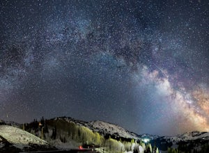
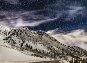
Milky Way Astrophotography At Alta
4.0Early spring is a unique time to photograph the Milky Way due to its low angle and the distinctive perspective of its galactic core. The low angle position of the Milky Way arc during the early morning hours, prior to dawn, allows for some striking panoramas, with the still snow-covered Wasatch M...Read more -
Alta, Utah
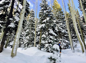
Snowshoeing Twin Lakes Pass
5.05.21 mi / 1781 ft gainStarting at the parking lot near the Albion Basin gate, travel up the summer road until the second switchback. Just past the second switchback and cabins, leave the summer road heading east. The Trail heads northeast into Grizzly Gulch. It should be easy to follow—it gets a lot of traffic. From h...Read more -
Salt Lake City, Utah
Backcountry Ski Beartrap Fork
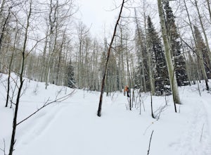
5.04 mi / 2016 ft gainYou can access the trailhead to Beartrap by driving up Big Cottonwood Canyon 10.4 miles and parking on the right side of the road. You will see the "Bear Trap Fork Rd" sign on the left side of the road, this is where the trailhead begins. Make your way up the skin track through the dense aspens u...Read more -
Alta, Utah
Ski Little Cottonwood Canyon
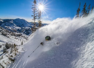
5.0It's no secret that Little Cottonwood Canyon (LCC) is home to some of the best skiing and snowboarding in the lower 48, if not North America. What many people are not aware of is the extremely easy and quick access from Salt Lake City.Enter the Dawn Patrollers. Skiers and snowboarders from Salt L...Read more -
10230 East Little Cottonwood Lane, Utah
Cross Country Ski Alta Ski Area's Nordic Track
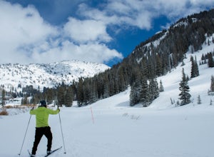
Drive up Little Cottonwood Canyon until the first entrance into Alta. Park in the Collins lift parking lot, throw your boots on, and head over to the nordic track. Its just next to the tow rope that runs through Albion Basin. Now thats left to do is to step into your skis and ski. The track has a...Read more -
Alta, Utah
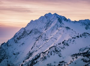
Hike Mt. Superior and Monte Cristo
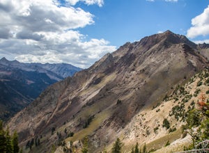
5.06.25 mi / 2500 ft gainMt. Superior, and its close neighbor, Monte Cristo, are two of the most iconic peaks in Little Cottonwood Canyon. Looming over Alta and Snowbird Ski resorts from the north side of the canyon, these two peaks dominate the Little Cottonwood skyline. Mt. Superior tops out at 11,132 feet, and Monte C...Read more -
Alta, Utah
Hike and Scramble Mount Superior
5.05 miThis is an intermediate to advanced hike. Scrambling up the ridge is more difficult but can be done by anyone with patience and a few maneuvering skills. It is best climbed in the summer months when the ridge is free of snow. However, it makes for a good winter climb for more technical experience...Read more -
Alta, Utah
Stargazing and Night Photography at Hellgate Spring
From the base of Little Cottonwood Canyon, follow the road approximately 7 miles until you reach the area between the Snowbird and Alta ski resorts. Looking north, several mountain peaks are visible, including both Mount Superior and Hellgate Spring. The mountain face of Hellgate Spring (GPS coor...Read more -
Park City, Utah
Hike Empire Pass Ridge
3.25 mi / 800 ft gainStarting at an elevation of 8,960 feet at Empire Pass, the trail follows the ridge to the west. It starts off on a gravel road, but quickly turns into a single-track trail once you pass the buried water tank. For the most part, you will stay on the ridge and have great views of Clayton Peak, Deer...Read more -
Salt Lake City, Utah
Hike Days Fork
5.07.5 mi / 2494 ft gainTo get to the trailhead drive up Big Cottonwood Canyon to Spruces Campground. Once in the parking lot, walk to the southwest corner of the parking lot and go up the road past the bathrooms. The trailhead will be next to the overgrown baseball field. The trail is awesome single track the whole wa...Read more -
Salt Lake City, Utah
Backcountry Ski Days Fork
3.2 miDays Fork is on the south side of Big Cottonwood Canyon behind the Spruces parking lot. The trail head begins on the south west corner of the parking lot. The approach to Days Fork is long, but gradual. Continue south along the skin track until you reach the end of the Days Fork Basin. Here you c...Read more -
Salt Lake City, Utah
Backcountry Ski Short Swing, Mill D North
4 mi / 1900 ft gainDrive up Big Cottonwood Canyon until you reach the Spruces Campground on the right. You will park here and prep your gear for the day. Walk back out to the canyon road and cross the street to the trail head. As you hike up the trial, you'll pass some cabins, once you've passed all the cabins, you...Read more -
Sandy, Utah
Backcountry Ski Suicide Chute on Mt. Superior
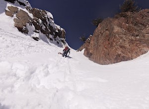
5.00.6 mi / 1245 ft gainFirst of all it's not as scary as it sounds, or as scary as it looks. That being said it's a steep chute in dangerous avalanche terrain so only experienced skiers with backcountry skiing knowledge/equipment should attempt this route.Suicide Chute is located on the South face of Mt. Superior in L...Read more -
Sandy, Utah
Photograph Little Cottonwood Creek at Snowbird
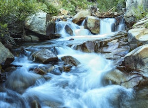
2.0Little Cottonwood Creek flows right through Snowbird Ski Resort and there are a few beautiful locations to go shoot the river at. The best place to start hiking down the river is right by where the tram takes off. That is just below the Cliff Lodge and right by the Peruvian Lift. There's a res...Read more -
Salt Lake City, Utah
Donut Falls
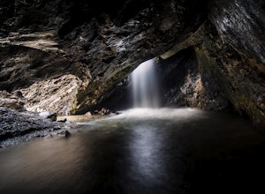
4.11.53 mi / 413 ft gainThe Trail Follow the trail for just a little bit and when it forks, stay to the left and you will arrive to Donut Falls. Once at the waterfall, climb up the rocks to get to the cave at the top, which is not visible from the bottom. To take pictures inside of the cave, you will most likely get yo...Read more

