Blanding, Utah
Looking for the best photography in Blanding? We've got you covered with the top trails, trips, hiking, backpacking, camping and more around Blanding. The detailed guides, photos, and reviews are all submitted by the Outbound community.
Top Photography Spots in and near Blanding
-
San Juan County, Utah
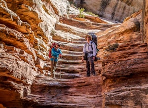
Backpack Great Gulch: Kane Gulch to Bullet Canyon
5.025 miOne of the many wonderful hidden gems in Utah (so just tell you close friends about it).Kane Gulch is located four miles south of the Highway 95/Highway 261 junction. At the Kane Gulch ranger station you will be able to use restrooms, overnight park your vehicle, pick up permits, and purchase are...Read more -
Monticello, Utah
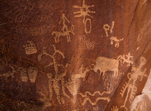
Explore the Newspaper Rock Ancient Petroglyphs
4.7After leaving Moab, turn off Highway 191 on to 211. The drive will wind over the mesa tops and down into red rock canyon country. Enjoy the changing seasons whether the red cliffs are covered in snow or spring desert flowers are blooming.Watch for cattle as this is open range country. Also watch ...Read more -
Monticello, Utah
Backpack Salt Creek
33 mi / 1000 ft gainThe Needles District of Canyonlands receives 6 times as many backpackers as its more popular neighbor across the Colorado River, Island in the Sky. The Needles has an excellent trail network that is incredibly diverse, featuring amazing rock features as well as grassy meadows and savannahs. Whil...Read more -
Lake Powell, Utah
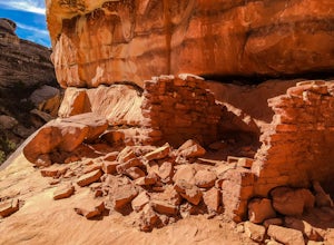
Hike to Horse Collar Ruin at Natural Bridges National Monument
5.03.2 mi / 500 ft gainNatural Bridges National Monument is one of Utah's many geologic wonders. While this monument is primarily known for its bridges, it also has an impressive collection of cliff dwellings known as Horse Collar Ruin. The dwellings have passed the test of time after being abandoned by native people m...Read more -
Mexican Hat, Utah
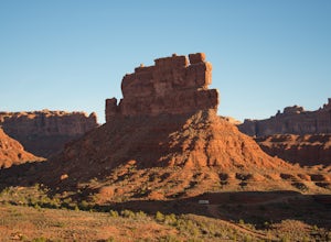
Camp in the Valley of the Gods
5.0The dirt road loop is relatively smooth and can be driven on by just about any car, campervan, or RV. However, check the weather beforehand because some areas can become flooded after rain and will be a difficult mud crossing. It can be driven in either direction. One entrance is off Highway 163,...Read more -
Mexican Hat, Utah
Hike the Honaker Trail
3.55 mi / 1010 ft gainIn the days of Utah's Wild West gold rush (circa 1890s), a man named Henry Honaker decided to build a supply route from the San Juan River to the cliffs tops, roughly 1200 feet, above. The roughly hewn trail that Henry built; aptly named the ‘Honaker Trail’ was to act as a supply route for the go...Read more -
Mexican Hat, Utah
Camp at Muley Point
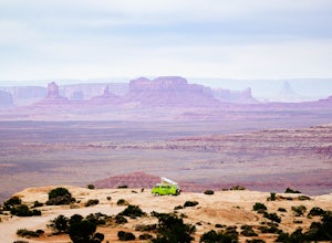
5.00.25 miMuley Point on the southern end of the Cedar Mesa is one of the finest camping (and car camping) sites in North America, towering some 2400' above the San Juan River Canyon (and The Goosenecks State Park) looking south directly into the northern mouth of Monument Valley. It is a breathtakingly be...Read more -
San Juan County, Utah
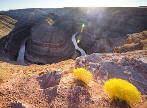
Camp at Goosenecks State Park
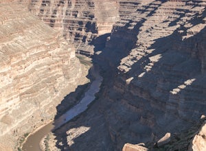
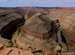
4.3Located near the southern border of the state, Goosenecks State Park is a small slice of Grand Canyon views in Utah. The park overlooks the meanders of the San Juan River, and canyons that have eroded over the millennia. This park is great for anyone hoping to learn about geology, get far away fr...Read more -
San Juan County, Utah
Goosenecks Viewpoint Trail
1.86 mi / 66 ft gainFor a small entrance fee of $5, you have the chance to photograph a beautiful canyon view without having to hike miles and days to get to it. Enjoy this rare luxury! There is a pavilion with a picnic table for dinner while you wait for the sunset, and there are also bathrooms if you need them. ...Read more -
Monticello, Utah
Joint Trail in the Canyonlands Needles District
5.019.06 mi / 3028 ft gainA large part of the grandeur of Canyonlands National Park is the vast barren vista at Island in the Sky, but no visit to Canyonlands would be complete without the intimate and immersive desert experience that the Needles District offers. Drive two hours southwest of Moab away from cell phone rece...Read more -
Monticello, Utah
Backpack to Chesler Park, Canyonlands NP
5.013 mi / 600 ft gainThe first draw of this adventure is the roadtrip to the trailhead itself. Set out pre-dawn from Moab, UT and head 77 miles south and west to the Needles District Visitors Centre on Utah 211. En route you'll pass Newspaper Rock, a treasured collection of pictographs well worth the detour if you're...Read more -
Monticello, Utah
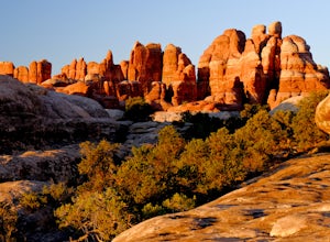
Camp at Squaw Flat Campground
3.0Squaw Flat campground is an easily-accessed area full of picturesque campsites in Canyonlands National Park, Utah. It is located in the Needles District, which is well known for its colorful spires of Cedar Mesa Sandstone that cover the region. Campsite reservations must be made in advance at rec...Read more -
Monticello, Utah
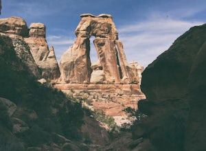
Hiking Druid Arch
5.010.28 mi / 1594 ft gainImportant Note: Druid Arch is located on the eastern side of Canyonlands National Park in the Needles District. It is not located at the main entrance to the park. Stop by the Needles Visitor Center and pick up a map. Your starting point, Elephant Hill Trailhead is then located 6.3 miles west of ...Read more -
Monticello, Utah
Hike Chesler Park and Joint Trails, Canyonlands NP
4.510 mi / 1755 ft gainThis world class hiking route circumnavigates Chesler Park by way of open meadows, slots, subterranean alcoves, stairways and slick rock.Begin at the Elephant Hill Trailhead and head south following signage for the Joint Trail / Chesler Park along the way. Once you arrive at Chesler Park turn lef...Read more -
Moab, Utah
Camp at Hamburger Rock
Hamburger Rock is a small BLM campground with 10 sites based around an interesting rock outcropping. Each site can accommodate around 6 campers, 2 tents, and 2 cars. The bathrooms here are very basic, open-top pits, and no other services are offered. Camping fees are only $6/night.Read more -
Cortez, Colorado
Explore Sand Canyon Pueblo
0.8 miThe Sand Canyon Pueblo marks the northern point of the Canyon of the Ancients National Monument, and connects south to the start of the Canyon of the Ancients Trail off Road G. The hike from the parking lot nearest to the pueblo is only 0.8 miles, and is reached on Road N, west of Cortez, Colorad...Read more

