Blanding, Utah
Looking for the best hiking in Blanding? We've got you covered with the top trails, trips, hiking, backpacking, camping and more around Blanding. The detailed guides, photos, and reviews are all submitted by the Outbound community.
Top Hiking Spots in and near Blanding
-
Cortez, Colorado
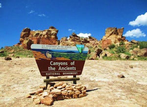
Hike Sand Canyon in Canyons of the Ancients
5.013 mi / 1390 ft gainThe Sand Canyon trail in Canyons of the Ancients has two trailheads. The lower trailhead (off of County Road G) begins at 5,472-ft., while the upper trailhead (off of Country Road N) begins at 6,862-ft. If you are doing the 13 mile out-and-back hike as I did, begin at the lower trailhead and work...Read more -
Cortez, Colorado
Explore Sand Canyon Pueblo
0.8 miThe Sand Canyon Pueblo marks the northern point of the Canyon of the Ancients National Monument, and connects south to the start of the Canyon of the Ancients Trail off Road G. The hike from the parking lot nearest to the pueblo is only 0.8 miles, and is reached on Road N, west of Cortez, Colorad...Read more -
Monticello, Utah
Hike Needle's Slickrock Foot Trail
2.4 mi / 200 ft gainThe trail weaves away from the highway following cairns. I did the loop counter-clockwise to hit all the viewpoints first. The first part of the trail offers stellar views of the Needles behind you.All the viewpoints are well marked by trail signs. The first viewpoint veers off to the right and t...Read more -
Monticello, Utah
Hike the Confluence Overlook
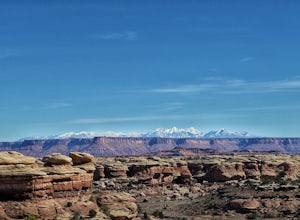
4.010.4 mi / 220 ft gainThe Green River starts in Wyoming and flows 730 miles before joining the Colorado River in Utah. Confluence Overlook Trail is located in the northern parts of the Needles district of Canyonlands National Park. At the southwest edge of the parking area, you will see where the trail starts. The tra...Read more -
Moab, Utah
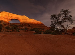
Hiking to Wilson Arch
4.3To get to Wilson Arch, drive south of Moab on US-191 S for about 25 miles. The arch is right off US-191S and there is parking on either side of the highway. Keep an eye out after you pass the LaSal Junction - the arch is visible from the road.From the parking lot there is a a very short (~0.5 mil...Read more -
Monticello, Utah
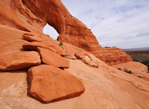
Explore Looking Glass Arch
4.0Getting there:From Moab, follow Highway 191 south for about 23 miles until you get to Looking Glass Road/Co. Rd. 131. Take a right and follow the road for about 2 miles and then turn left into the parking lot.It is only about 0.10 miles from the parking lot to the arch itself, but there is a ~150...Read more

