El Paso, Texas
Looking for the best photography in El Paso? We've got you covered with the top trails, trips, hiking, backpacking, camping and more around El Paso. The detailed guides, photos, and reviews are all submitted by the Outbound community.
Top Photography Spots in and near El Paso
-
El Paso, Texas
Hike the Maze-Cardiac Hill trail
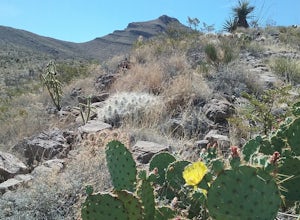
5 mi / 639 ft gainThis hike starts just off the Tin Mines trail. It is a moderate hike and has some very good views of the Franklin Mountains and their surroundings. During the summer many beautiful wildflowers can be seen. In the spring cacti can be seen in bloom. Bikers do also use this trail so yield to them w...Read more -
El Paso, Texas
Lazy Cow Trail
7.15 mi / 420 ft gainIt is a fairly open trail with no shade. This trail is best hiked during the cooler part of the year. The trail is sandy with rocky spots along the way. Bikers also use this trail so be careful . The trail is ~7 miles round trip. The trail connects to other trail within the system. I have hiked t...Read more -
Vado, New Mexico
Hike the Sierra Vista Trail from Vado to Bishop's Cap
4 miStart your hike from the Sierra Vista parking lot. Proceeded NE toward Bishops Cap. At first, the trail goes through some small arroyos and is a little rocky. After about half a mile, the trail is rather flat and goes through some sandy and grassy areas. Enjoy good views of the mountains!Read more -
El Paso, Texas
Hike the Hueco Tanks Nature Trail
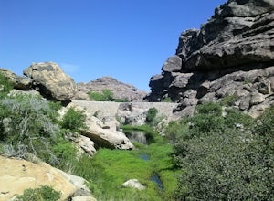
1.5 miThe nature trail is an easy trail to walk and gives you very good views of the rock formations. To see the pictographs you will have to hike up the North Mountains to get the best views. The West and East Mountains are only accessible by guided tours. During the summer and fall when there is wate...Read more -
County Road A005, New Mexico
Hike to Cox Peak and Mount Riley
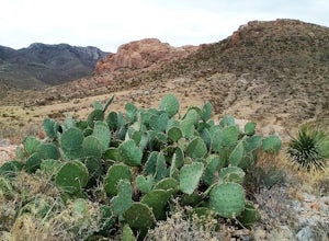
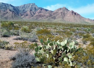
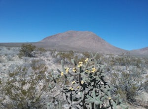
5 mi / 1500 ft gainDrove from El Paso to cox Peak this morning. About 45 miles from El Paso. The roads to the mountains are in good condition. Did not hike up the mountain but hiked around the base and enjoyed the views and the cacti. There is not a trail to the top of the mountains and scrambling up the mountain s...Read more -
Las Cruces, New Mexico
Hike the Sierra Vista Trail
29 mi / 500 ft gainThe trail follows the foothills of the Organ Mountains. The terrain is hilly but not very difficult to hike. There are some steep laces and also some sandy places. I have only hiked sections of the trail at different occasions . There are a lot of interesting plants along the trail. The trail is ...Read more -
Las Cruces, New Mexico
Hike the Picacho Mountain
3 mi / 1200 ft gainThis is a somewhat strenuous hike up Picacho Mountain. The trail is 3 miles round trip and has an elevation gain of 1200 ft. Great views from the top and also many cacti species can be seen along the trail.Read more -
Unnamed Road, New Mexico
Hike the Aden Crater Trail
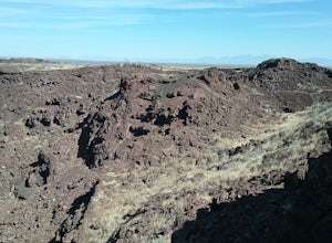
1.9 mi / 187 ft gainDrove fro El Paso to the crater in the Potrillo Wilderness Study area a on a series of county dirt roads. Some of the roads are quite rough. Interesting place to explore. Deep crater and large lava fields. Good views of the surrounding plains. The place is very isolated and quiet. Best to get a m...Read more -
Aguirre Springs Road, New Mexico
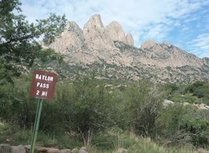
Hike the Baylor Pass Trail
5.06.9 mi / 1568 ft gainModerate hike in the Organ Mountains Desert Peak National Monument in New Mexico. Very good views of the Organ Mountains , the Tularosa Basin and wildflowers in the summer and fall. Excellent place to see the Organ Mountains evening primroseRead more -
15595 Baylor Peak Road, New Mexico
Hike the Rabbit Ear Plateau.
5.06 mi / 3000 ft gainPark at the small parking area of Baylor Peak rd. Start climbig up the mountain on a old jeep road. The trail becomes steeper the further up you go. Very good views of the Organ Mountains and the Mesilla Valley. Lots of wildflowers along the way in the summer and also cacti in bloom. Did not make...Read more -
Las Cruces, New Mexico
Hike the Baylor Pass West Trail
6.3 mi / 1548 ft gainStart your hike from the parking lot of Baylor Pass Road. The trail starts to climb gently first and then gradually the climb gets steeper, but nothing too difficult. There is nice desert vegetation along the trail and very good views of the Organ Mountains and valley below.Read more -
2572-2598 Desert Wind Way, New Mexico
Explore the Dona Ana Mountains
5.02 mi / 1000 ft gainThe Dona Ana Mountains offer a variety of outdoor fun. Hiking, rock climbing, wildflowers and petroglyphs. There are several different ranges to explore with arches, steep cliffs and also easy trails. The elevation gain changes depending which trails you decide to take. You can also access the...Read more

