Blanco, Texas
Top Spots in and near Blanco
-
Burnet, Texas
Hike the Inks Lake State Park Trail
4.04.7 mi / 347 ft gainThe Inks Lake State Park Trail is a 4.7 mile loop trail located within Inks Lake State Park, just outside of Burnet, Texas. Only a small portion of the trail follows the lake, then it veers off through the rocky and hilly terrain of the Texas Hill Country. The trail is only partially shaded at ti...Read more -
Austin, Texas
Hike Mueller Park Trail
4.02.6 mi / 78 ft gainThe Mueller Park Trails total a distance of 5 miles with a 2.6 mile loop hike that takes you by some waterfalls located in Austin, TX. You can wander around Mueller Lake or the pond in Southwest Greenway, where man-made waterfalls can be viewed, or both! In addition to the waterfalls, the Southwe...Read more -
Austin, Texas
Hike the Great Hills Park Trail
2.31 mi / 127 ft gainThe Great Hills Park trail is a 2.3 mile point-to-point nature trail found within the Great Hills neighborhood of Northwest Austin. The trail is perfect for cycling, hiking, or just for taking a regular walk. The hike features a multitude of wildlife and is primarily shaded. There are several bat...Read more -
Cedar Park, Texas
Hike the Brushy Creek Regional Trail
4.56.5 mi / 85 ft gainPark in the big lot off E Little Elm Trail Road (see map) to access the trailhead. Trail is accessible year round and is dog-friendly.Read more -
San Antonio, Texas
Hike through Tom Slick Community Park
5.01.19 mi / 19 ft gainThe trail runs alongside a river and is primarily used for hiking, walking, and trail running. Dogs are welcome on this trail. There is a pond in the middle of the loop trail, and the park has playgrounds for dogs and for kids.Read more -
Llano, Texas
Catch a Sunset at Badu Park
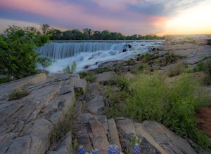
Located in the small but fun town of Llano, Texas, Badu Park is a great location for catching a sunset, fishing, picnicking, or just plain chilling. This location is located about an hour and a half west of Austin, Texas (75 miles) but is well worth the drive for a day trip! The dam is a popular...Read more -
Austin, Texas
Hike Walnut Creek Metro Loop
4.08.8 mi / 534 ft gainWalnut Creek Metro Loop is an 8.8 mile loop hike located within Walnut Creek Metro Park in north Austin, Texas. The trail is moderately hiked and relatively easy. It's great for walking/running/cycling. There are many smaller trails that connect portions of the main loop and it's easy to get conf...Read more -
Austin, Texas
Hike or Bike the Walnut Creek Trail
3.74.4 mi / 190 ft gainWalnut Creek Park has a TON of little side trails that make this a must do if you are in or near the area. This particular trail (1 of 2 major ones) is a 15 mile loop but can be done as a shorter out and back. Once you park in the parking lot head southwest to find the trailhead and you're good t...Read more -
Garfield, Texas
Hike the Southeast Metropolitan Park Primitive Trail
4.02.17 mi / 223 ft gainThe Southeast Metropolitan Park Primitive Trail is a quick 2.3 mile hike, perfect for families, hikers, and trail runners. This trail is dog friendly, and is open for use year round. This hike is lightly trafficked, so this is a great place to go if you are looking for some solitude.Read more -
Leander, Texas
Explore Dinosaur Tracks in Leander
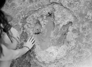
4.11 miAbout a half mile west from the Hwy 183 bridge that crosses the South Fork of the San Gabriel River lies approximately 12 dinosaur footprints embedded in the river bed. Not many people know about the dinosaur tracks just northwest of Austin in Leander, Texas. This is not a marked trail, there ar...Read more

