Unicoi, Tennessee
Looking for the best photography in Unicoi? We've got you covered with the top trails, trips, hiking, backpacking, camping and more around Unicoi. The detailed guides, photos, and reviews are all submitted by the Outbound community.
Top Photography Spots in and near Unicoi
-
Linville, North Carolina
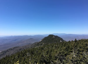
Profile Trail to Calloway Peak
5.06.2 mi / 2300 ft gainIf you're looking for a challenge and hoping to escape the crowds at Grandfather Mountain, this is the hike for you. Climbing up the back side of the mountain (opposite the famed mile-high swinging bridge) this trail is fee-free and easy-to-access with its own parking lot. The trail, marked w...Read more -
Burnsville, North Carolina
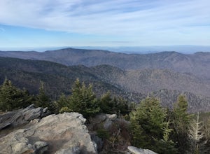
Deep Gap Trail at Mt. Mitchell State Park
5.08.24 mi / 2310 ft gainI personally find this trail to be more difficult and have more rewarding views than the Mt. Mitchell summit trail. The Deep Gap Trail starts near the Mount Mitchell summit and heads into a forest of spruce and balsam fir trees. The trail then climbs along the ridgeline to neighboring summits. E...Read more -
Linville, North Carolina
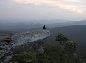
Rough Ridge via the Tanawha Trail from Beacon Heights
5.07.49 mi / 1280 ft gainIf you're feeling frisky, set your alarm for the early am and park at the Beacon Heights Parking area about 30 minutes before dawn. Put on your head lamp and hike the short trip to Beacon Heights, bask in the glory of the warm morning sun, then head back down and connect with the Tanawha Trail. A...Read more -
Newland, North Carolina
Beacon Heights Overlook
5.00.71 mi / 105 ft gainBeacon Heights is the perfect hike when you're on the Blue Ridge Parkway near Linville and Grandfather Mountain, Milepost 305.2. The trail is a steady climb uphill for less than a half mile. The last section being fairly steep and rocky. Once at the top, there are several rock outcroppings, but...Read more -
Burnsville, North Carolina
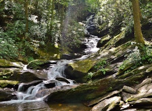
Roaring Fork Falls
1.31 mi / 249 ft gainPark at the work center but don't block the gate. Hike around the gate and head up the grassy and gravel road. Once you get to the creek a narrow path leads upstream to the base of the falls. gps: n35 46.101/ w82 11.713Read more -
Hot Springs, North Carolina
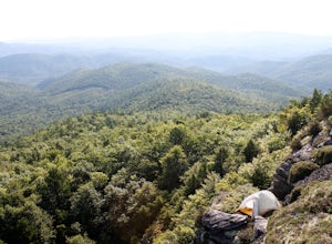
Camp at Rich Mountain Fire Tower
5.0Rich Mountain fire tower is located in the Cherokee National Forest just outside of Hot springs North Carolina. Getting there is pretty easy once you get off of US 25W you drive up a gravel road for about 5 miles until you get to the tower. Once you get to the top its about a 100 foot walk until ...Read more -
Linville, North Carolina
Rough Ridge Lookout
4.30.5 mi / 92 ft gainThe trailhead for Rough Ridge will be on your righthand side when driving the Blue Ridge Parkway from Boone, NC. This trail gets busy in the warmer months, but parking usually is not too much of an issue. This trail is not open in the winter. Rough Ridge will take you around 30-45 minutes to rea...Read more -
Banner Elk, North Carolina
Explore Boone Fork Creek
0.25 mi / 75 ft gainBoone Fork Bridge and creek is situated at the base of Grandfather Mountain, on the Blue Ridge Parkway, milepost 299.9. Elevation 3905'.The trailhead is at the left side of Boone Fork Creek parking area and the trail is a gentle meander through Rhododendrons and a hardwood forest.As you head tow...Read more -
Barnardsville, North Carolina
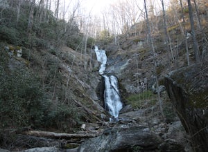
Douglas Falls
5.01.11 mi / 125 ft gainThe trail begins at the back of the parking area and is marked by a trail sign. Once on the trail, it is a straight shot to the waterfall with no turnoffs. Overall the trail is very easy and is a slight descent all the way down. Around .3 miles into the trail you enter a forest of now-dead hemloc...Read more -
Morganton, North Carolina
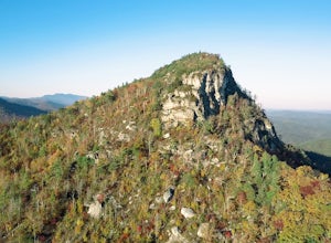
Hawksbill Mountain Trail
4.91.87 mi / 633 ft gainHidden far above the beautiful Linville Gorge stands Hawksbill Mountain, among many other fantastic hikes. The roughly 1.7 mile hike from the dusty gravel parking lot is steep but worth every step. It took me about an hour to conquer with a few water bottle-guzzling stops. At the top, you are al...Read more -
Morganton, North Carolina
Photograph Hawksbill Mountain at Sunrise or Sunset
5.01.5 mi / 860 ft gainThe trail to the summit of Hawksbill begins on an unpaved road for the Pigsah National Forest. In about a half a mile the trail turns left just before reaching the Jonas Ridge Trail. This turn is an clearly marked turn with a sign for "Hawksbill Summit". The trail then becomes steeper and rocki...Read more -
Marion, North Carolina
Tom's Creek Falls
5.00.7 mi / 148 ft gainThe hike to Tom's Creek Falls is a short but enjoyable hike right off the side of the road. The hike is on a wide and mostly flat gravel road that goes right up to the waterfall and a viewing platform that makes for a perfect place for pictures. This hike is a great hike for families and young ki...Read more -
Morganton, North Carolina
Hike to the Summit of Table Rock Mountain
4.62.2 mi / 572 ft gainOff of Highway 181, the trailhead is very clearly marked with a large parking lot. Although the trail is fairly short, make sure you have your footing, because the trail does switch back and forth in addition to gaining elevation -- it's pretty steep in some places! It's all worth it when you get...Read more -
Morganton, North Carolina
Camp at the Chimneys in the Linville Wilderness
5.01 mi / 138 ft gainThe Chimneys area is a lesser-known camping destination within the Linville Wilderness. The Chimneys are a series of rock formations that rise above Linville Gorge and provide unobstructed panoramic views of the gorge and surrounding mountains. These rocks sit adjacent to Table Rock which hosts w...Read more -
138 Silver Mine Road, North Carolina
Hike the Lovers Leap Loop Trail
5.01.8 mi / 472 ft gainLovers Leap Loop trail is a 1.8 mile loop in Hot Springs, NC. The address of the trailhead is 138 Silver Mine Rd, Hot Springs, NC 28743. Once you arrive at the parking lot, you will see a trail leading up into the mountain with a post next to it. This is where you want to begin. It is part of the...Read more -
Old Fort, North Carolina
Green Knob Lookout Tower
4.80.76 mi / 292 ft gainGreen Knob Lookout Tower is an abandoned fire tower near Mt. Mitchell and located directly off the Blue Ridge Parkway. The tower boasts a full 360-degree, unobstructed view of Mt. Mitchell, Craggy Mountains, Table Rock, Grandfather Mountain, and the Parkway. Unlike most fire towers, this tower is...Read more

