Spring City, Tennessee
Top Spots in and near Spring City
-
Reliance, Tennessee
Hike the Scenic Spur Trail
5.03.9 mi / 426 ft gainVery little elevation gain leads to an easy hike along a river right outside of the Ocoee river region. First .7 miles is very flat, then leads to some slight elevation gain but nothing too serious. This trail traverses through the lush forest for a short distance when you come across a small cre...Read more -
Reliance, Tennessee
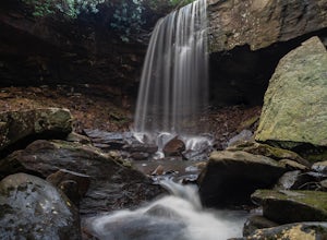
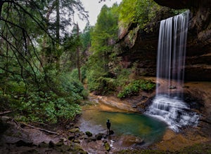
Rainbow Falls, Cherokee National Forest
4.83.37 mi / 531 ft gainStarting at the parking lot, head up the trail (Clemmer #302/Scenic Spur #78) and it should say "1.7 miles to waterfalls". At the top of the hill in approximately 0.1 miles, veer to the right on trail #78. Continue for another 0.6 miles trail - #86 cuts across but continue straight on #78. From t...Read more -
Rock Island, Tennessee
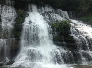
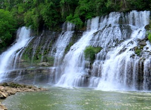
Twin Falls, Rock Island State Park
4.40.3 mi / 125 ft gainUpon entering Rock Island State Park from the east, the parking area for this trail is located right after the old cotton mill (my friend and I actually ended up getting lost because it is tucked away there quite nicely). The trail that leads to Twin Falls actually starts at the westernmost part ...Read more -
Rock Island, Tennessee
Camp at Rock Island State Park
4.8This little campground is nestled in Rock Island State Park. There are two campgrounds, this one is specifically tents only. Each campsite is pull in and provides you with enough room to set up two tents. In addition each campsite has a four sided picnic bench, fire pit, trash can, charcoal grill...Read more -
Gruetli-Laager, Tennessee
Hike to Suter and Horsepound Falls
4.06 mi / 1794 ft gainLocated in South Cumberland State Park in the Savage Gulf section, this is a somewhat difficult 5 mile out-and-back viewing two waterfalls, cascades, creeks, rock shelters, and high bluffs. 2 miles past Suter Falls you'll come to Horsepound Falls, a unique waterfall formation with overlooks and l...Read more -
Jamestown, Tennessee
Northrup Falls
4.21.39 mi / 98 ft gainTruly a hidden gem, this trail seems to get little to no attention, yet is absolutely amazing. To get to the trail from I-40 near Crossville, Tennessee, take Highway 127 north toward Jamestown. Before getting to Jamestown, turn right on State Route 296 east, toward the town of Allardt. In Allardt...Read more -
Tellico Plains, Tennessee
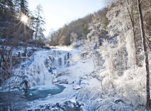
Exploring Bald River Falls
4.8If you're looking to check out a secnic waterfall in East Tennessee, Bald River Falls is sure to be on your list. At 90 feet, you can't miss this roaring beauty during any season. Also, Tellico Plains is an awesome mountain town in itself; check it out before or after your hike.To get to Bald Riv...Read more -
Farner, Tennessee
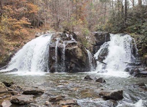
Turtletown Falls Trail
3.45 mi / 377 ft gainTurtletown Falls Trail is a loop trail that takes you by a waterfall located near Farner, Tennessee.Read more -
Beersheba Springs, Tennessee
Hike to Stone Door and Alum Gap Campground
6.8 mi / 825 ft gainThis is a fun and easy overnight trip that is good for all ages. Start at the Stone Door Ranger Station which has plenty of parking and public restrooms as well. Follow the signs to the Stone Door Trailhead and in a short 0.8 miles you'll arrive at the edge of the gulf (canyon) and the first sign...Read more -
Sparta, Tennessee
Burgess Falls
4.51.56 mi / 95 ft gainIf you like waterfalls, this hike is for you. Along the way you'll pass by Falling Water Cascades (20 ft), Little Falls ( 30 ft), Middle Falls (80 ft) and finally the main event, Burgess Falls (136 ft). There are a few spots for swimming so bring your suit if it's a warm day. It's an easy hike s...Read more -
Vonore, Tennessee
Camp at Citico Creek
5.0There are a few options for getting to Citico Creek, you can either go up the windy gravel road from US 411 or get off of the Cherohala Skyway and go down the mountain past the Indian Boundary campground. The Citico Creek campground has about 5 or 6 spots but is rarely full because it is very sec...Read more -
Signal Mountain, Tennessee
Hike to Rainbow Falls
4.75.7 mi / 1500 ft gainMost Rainbow Lake Trail hikers have seen or heard the majestic Rainbow Falls, but fewer have ventured down the treacherous path to the falls themselves. Albeit a bit daunting, especially if there has been recent rain, the path from Rainbow Lake Trail down to Rainbow Falls is a rewarding trek for ...Read more -
Copperhill, Tennessee
Explore Ocoee Whitewater Center
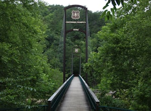
This location showcases the Ocoee river and the area used in the 1996 Olympics. This area is beautiful and has some amazing views. The drive to the whitewater center is called the Ocoee Scenic Byway and is the first national forest byway. The drive is gorgeous and features some amazing mountain v...Read more -
Signal Mountain, Tennessee
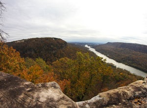
Hike to Edwards Point
4.75.8 mi / 50 ft gainThe Signal Point to Edwards Points trail serves as the southernmost leg of the Cumberland Trail, winding through part of the Chickamauga and Chattanooga National Military Park. From the initial Signal Point overlook, the path descends into Middle Creek Gorge, passes through the Rainbow Lake Wilde...Read more -
Tellico Plains, Tennessee
Camp at North River Campground and Dispersed Campsites
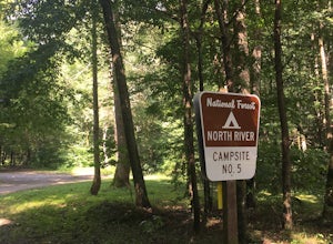
North River Road is located in the Nantahala National Forest near Tellico Plains. To get to North River Campground you can either drive up the Cherohala Skyway about 6 miles then turn when you see the sign for the campground and bald river falls. Another way to get to the campsites along North Ri...Read more -
Tellico Plains, Tennessee
Explore North River Road
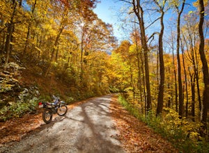
4.7If you're looking to get off the beaten path and take the road less traveled, North River Road is your ticket to solitude.A popular loop for the locals is starting on Tellico River Road, then getting on North River Road to make your way up the mountain all the way to the Cherohala Skyway. Take th...Read more

