Sparta, Tennessee
Looking for the best chillin in Sparta? We've got you covered with the top trails, trips, hiking, backpacking, camping and more around Sparta. The detailed guides, photos, and reviews are all submitted by the Outbound community.
Top Chillin Spots in and near Sparta
-
Smithville, Tennessee
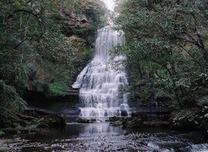
Hike to Carmac Falls
5.01 mi / 90 ft gainIt is important to note that Carmac Falls is located on the private property of Evins Mill, a resort and special event venue that hosts weddings, conferences and other contractually exclusive events. As such, one must be a guest of the resort in order to access its property and enjoy its trails, ...Read more -
Pikeville, Tennessee
Photograph Buzzard's Roost Overlook
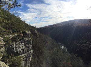
5.00.04 mi / 10 ft gainLocated in the beautiful state park of Fall Creek Falls, you'll find this overlook along with Millikan's Overlook. Both overlooks showcase the views shown in my photos, however, Buzzard's Roost is a short walk down the side trail that gives a more solitude experience that you may be looking for. ...Read more -
Scenic Loop Road, Tennessee
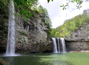
Hike to the Base of Fall Creek Falls
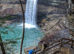
5.00.86 mi / 299 ft gainFall Creek Falls State Park hosts a variety of large waterfalls which can easily become confusing. The park's main attraction is the 256 foot waterfall dubbed "Fall Creek Falls." Fall Creek Falls is observable from a viewing platform less than a five minute walk from the Scenic Loop Road parking ...Read more -
Pikeville, Tennessee
Hike to Rockhouse and Cane Creek Falls
5.01 mi / 500 ft gainFall Creek Falls State Park is home to multiple waterfalls. The main attraction and biggest waterfall, Fall Creek Falls, is often tourists' main destination, but I encourage you to visit the base of Rockhouse Falls and Cane Creek Falls to enjoy some quiet solitude and get away from the usual week...Read more -
Pikeville, Tennessee
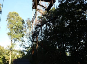
Hike to Fall Creek Falls Fire Tower
4.51 mi / 100 ft gainThe tower is located in the far northeast corner of Fall Creek Falls state park. The road to get there can be rough especially if it has rained recently but any 2 wheel drive vehicle should be able to make it. When you get to the trailhead it is a small gravel pull off with a gate. From the gate ...Read more -
Spring City, Tennessee
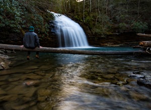
Hike to Stinging Fork Falls
3.53 mi / 400 ft gainThe trail begins on the right side of the parking lot. The first part is flat with no elevation change and easy walking. About half a mile in you will reach a trail split. The right trail will take you to the falls and the left trail will take you to an overlook of the gorge below. I was not able...Read more -
Altamont, Tennessee
Hike the Falls Loop Trail in South Cumberland State Park
4.53.2 mi / 500 ft gainNestled in the Savage Gulf State Natural Area, the popular Falls Loop Trail begins across from the Greeter Falls parking lot. At 0.4 miles into the hike you'll reach a fork in the trail, take the left route towards Boardtree Falls. Right before reaching the waterfall you'll come upon a suspension...Read more -
Gruetli-Laager, Tennessee
Hike to Suter and Horsepound Falls
4.06 mi / 1794 ft gainLocated in South Cumberland State Park in the Savage Gulf section, this is a somewhat difficult 5 mile out-and-back viewing two waterfalls, cascades, creeks, rock shelters, and high bluffs. 2 miles past Suter Falls you'll come to Horsepound Falls, a unique waterfall formation with overlooks and l...Read more -
Grandview, Tennessee
Hike to Piney Falls
5.01.5 mi / 500 ft gainThe gravel road heading to the trailhead is on the rougher side to take it slow. When you get to the trailhead it’s a small gravel pull off right off the road. There are no maps at the trailhead but there are only a few trails to take and they are marked with a blue marker. To get to the upper fa...Read more -
Lancing, Tennessee
Camp at OBED Wild and Scenic River Area via the Point Trail
4 miYou will want to park at the Lilly Bluff parking lot. Your GPS won't know where this is, so here are the GPS coordinates N36° 06.162', W84° 43.280'.The trailhead is located on the North side of the parking lot. All you need to do is follow the sign for Point Trail. The trail culminates at an e...Read more -
Jamestown, Tennessee
Northrup Falls
4.21.39 mi / 98 ft gainTruly a hidden gem, this trail seems to get little to no attention, yet is absolutely amazing. To get to the trail from I-40 near Crossville, Tennessee, take Highway 127 north toward Jamestown. Before getting to Jamestown, turn right on State Route 296 east, toward the town of Allardt. In Allardt...Read more -
661-799 Stone Fort Drive, Tennessee
Hike Old Stone Fort Trail
5.02.9 mi / 265 ft gainThe main hiking trail at this small state park follows the wall of Old Stone Fort which was used by the Native Americans as a ceremonial gathering place. The trail threads through dramatic scenery where you can see the original entrance of the fort which was designed to face the exact spot on the...Read more -
Soddy-Daisy, Tennessee
Hike the Hogskin Loop to Stripmine Falls
2.51.3 miStripmine Falls is not the biggest waterfall in the area, but it is both beautiful and accessible with just a short and easy out-and-back (or loop) hike. The additional attraction of cool swimming pools along Chickamauga creek make this an ideal destination for a day full of relaxation and adven...Read more

