Sewanee, Tennessee
Looking for the best photography in Sewanee? We've got you covered with the top trails, trips, hiking, backpacking, camping and more around Sewanee. The detailed guides, photos, and reviews are all submitted by the Outbound community.
Top Photography Spots in and near Sewanee
-
Rising Fawn, Georgia
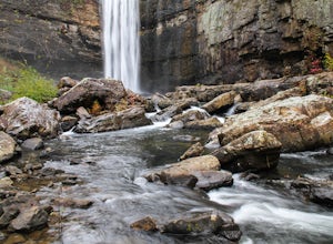
Cloudland Canyon's Waterfall Trail
4.91.21 mi / 325 ft gainWhen you enter Cloudland Canyon State Park you will drive straight through all of the 4 way stops for about 1 mile before you reach the parking lot for the Waterfall Trail. The parking area does have restrooms and picnic tables if you would like to bring a lunch. What goes down must come up! I...Read more -
Chattanooga, Tennessee
Bike or Run the Tennessee Riverwalk
4.013 miThe Tennessee Riverwalk is a part of the Tennessee Riverpark System that features the Coolidge Park, Renaissance Park, Ross's Landing, and the Walnut Street Bridge, all jewels of downtown Chattanooga. It is a networks of boardwalks, bridges, and paved pathways that runs alongside the Tennessee Ri...Read more -
Chattanooga, Tennessee
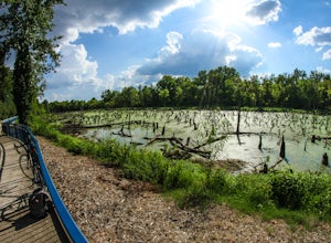
Park Day at Renaissance Park
4.0Renaissance Park is a 23-acre urban wetlands park, snuggled between the Market Street Bridge and Cherokee Blvd. on Chattanooga's North Shore. This pet-friendly park features nature trails, an outdoor pavilion, public art, and more. If you're smart, you'll bring some broken down cardboard and slid...Read more -
Lookout Mountain, Georgia
Explore Lula Lake Land Trust
3.93.4 mi / 459 ft gainLula Lake Land Trust may only be accessible on the first and last Saturday of every month, but a visit to this North Georgia park is well worth planning for. It offers a small, but beautiful lake, a large waterfall, and over 6 miles of trails for hiking or biking. The 1-mile level gravel road fro...Read more -
Chattanooga, Tennessee
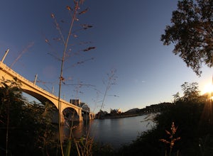
Stroll Chattanooga's Walnut Street Bridge
5.0Chattanooga's Walnut Street Bridge was once almost demolished, but instead it was revitalized to be one of the longest pedestrian bridges in the world. Connecting the Downtown Arts District to Northshore's Frazier Avenue, this bridge hosts visitors and locals year round. Whether you walk, bike, o...Read more -
Rising Fawn, Georgia
Camp at Cloudland Canyon State Park
4.8If you're looking to camp somewhere with exceptional hiking and beautiful waterfalls, Southeastern Tennessee locals know not to look further than Lookout Mountain. Located on the western edge, Cloudland Canyon State Park straddles Sitton Gulch Creek and is perfect for a weekend exploration.If sta...Read more -
Rising Fawn, Georgia
Hike Sitton's Gulch Trail
5.05.7 mi / 1060 ft gainHiking Sitton's Gulch is a great option for those who want to get a little more distance than what the 2.1 mile Waterfalls trail has to offer. This bit of extra distance will separate you from a lot of the weekend crowd and will expose you to two more waterfalls, in addition to Cherokee and Heml...Read more -
Scottsboro, Alabama
Explore Tumbling Rock Cave
5.02.4 mi / 200 ft gainAs Tumbling Rock Cave is a private property owned and controlled by SCCI, a permit is required to access the cave. Permits can only be applied for online here, and once granted, SCCI will provide the exact location of the cave. Caving is not only an inherently dangerous activity due to difficul...Read more -
Soddy-Daisy, Tennessee
Hike the Hogskin Loop to Stripmine Falls
2.51.3 miStripmine Falls is not the biggest waterfall in the area, but it is both beautiful and accessible with just a short and easy out-and-back (or loop) hike. The additional attraction of cool swimming pools along Chickamauga creek make this an ideal destination for a day full of relaxation and adven...Read more -
Soddy-Daisy, Tennessee
Hike the Hogskin Upper and Lower Loop
5.01.4 miAfter an easy 25 minute drive from Chattanooga you will reach North Chickamauga Gorge on Montlake Road in Soddy Daisy. Park any where in the gravel loop just make sure other cars can get through. From the Montlake Road Trailhead Kiosk the trail begins on an old mining road. Hogskin Upper Loop Tr...Read more -
Woodville, Alabama
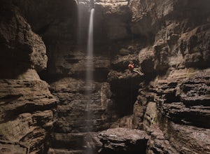
Rappel Through the Keyhole at Stephen's Gap
5.0Stephen's Gap is a 150 foot cave in North Alabama protected by the Southeastern Cave Conservancy. It is important note that a free permit is required to visit Stephen's Gap. Directions, parking instructions, and safety tips are distributed after your permit request is granted, but the Google addr...Read more -
Scottsboro, Alabama
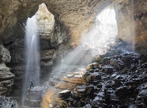
Stephens Gap
4.51.38 mi / 381 ft gainThe hike is 2 miles round trip. It starts from the open space where you park. (Details on where to park when you email in the permit). There is a sign labeled as the trailhead. Trail is easily visible, but just in case you can't follow it, they have marked it with yellow flags on trees. The trail...Read more -
Scenic Loop Road, Tennessee
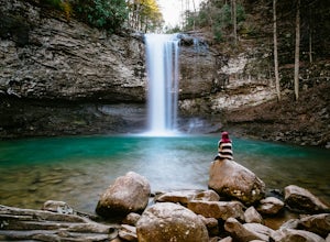
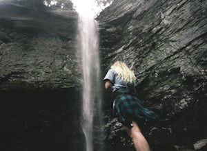
Hike to the Base of Fall Creek Falls
5.00.86 mi / 299 ft gainFall Creek Falls State Park hosts a variety of large waterfalls which can easily become confusing. The park's main attraction is the 256 foot waterfall dubbed "Fall Creek Falls." Fall Creek Falls is observable from a viewing platform less than a five minute walk from the Scenic Loop Road parking ...Read more -
Pikeville, Tennessee
Photograph Buzzard's Roost Overlook
5.00.04 mi / 10 ft gainLocated in the beautiful state park of Fall Creek Falls, you'll find this overlook along with Millikan's Overlook. Both overlooks showcase the views shown in my photos, however, Buzzard's Roost is a short walk down the side trail that gives a more solitude experience that you may be looking for. ...Read more -
Woodville, Alabama
Visit the Cathedral Caverns
2.9 mi / 50 ft gainCathedral Caverns - The Pride of Alabama -- Located in northeastern Alabama, Cathedral Caverns offers an easy look inside an underground system of caverns. The primary trail is well-developed and wheel-chair accessible for most of its 2.9 mile length. The Caverns features many impressive sights. ...Read more -
Pikeville, Tennessee
Hike to Fall Creek Falls Fire Tower
4.51 mi / 100 ft gainThe tower is located in the far northeast corner of Fall Creek Falls state park. The road to get there can be rough especially if it has rained recently but any 2 wheel drive vehicle should be able to make it. When you get to the trailhead it is a small gravel pull off with a gate. From the gate ...Read more

