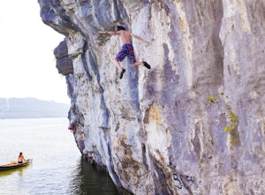
Pikeville, Tennessee
Top Spots in and near Pikeville
-
Chattanooga, Tennessee
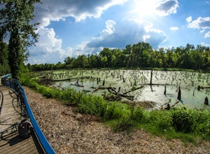
Bike or Run the Tennessee Riverwalk
4.013 miThe Tennessee Riverwalk is a part of the Tennessee Riverpark System that features the Coolidge Park, Renaissance Park, Ross's Landing, and the Walnut Street Bridge, all jewels of downtown Chattanooga. It is a networks of boardwalks, bridges, and paved pathways that runs alongside the Tennessee Ri...Read more -
Tracy City, Tennessee
Firey Gizzard, Dog Hole and Ravens Point
5.08.42 mi / 1302 ft gainFirey Gizzard, Dog Hole and Ravens Point is an out-and-back trail that takes you by a waterfall located near Tracy City, Tennessee.Read more -
Tracy City, Tennessee
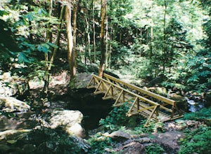
Sycamore Falls
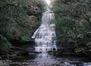
4.52.18 mi / 236 ft gainSycamore Falls is located in the Fiery Gizzard region of South Cumberland State Park. The trailhead is located just past Tracy City Elementary School on Fiery Gizzard Road. There is a large parking lot with restrooms at the trailhead. Start your hike at the south end of the parking lot. This ...Read more -
Tracy City, Tennessee
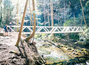
Hike the Fiery Gizzard Trail
5.013.5 miStart this journey from the Grundy Forest Trailhead, where you will quickly begin a decent along the Little Fiery Gizzard Creek. At the 0.7-mile split, be sure to turn left and cross the bridge to stay on the Fiery Gizzard Trail. For the next 0.8-mile journey, you'll encounter the gorgeous Black ...Read more -
Sequatchie, Tennessee
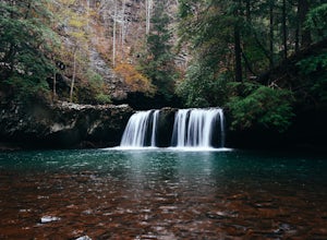
Foster Falls Loop
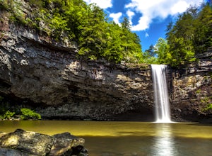
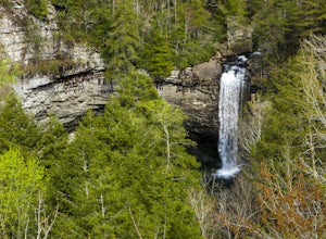
4.62.19 mi / 574 ft gainFoster Falls State Park is part of the South Cumberland State Park system. A short 45 minute drive from Chattanooga, Foster Falls boasts a stunning 60 foot waterfall that is worth visiting during any season of the year. The trailhead for this 2 mile hike starts from the Foster Falls parking lot a...Read more -
Sequatchie, Tennessee
Climb Gravity Boots and After Burner
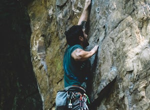
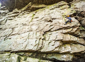
Foster Falls State Park is a sport climber's paradise, with most climbs tailored to advanced and expert climbers. Gravity Boots and After Burner are two climbs found on the Rocket Slab which is a standalone piece of rock to the left of the Sanford Wall. Both climbs run about 40'-50' and are bol...Read more -
Sequatchie, Tennessee
Climb at Foster Falls SP
5.04.5 miFoster Falls will suit any climber. A novice climber can find routes here, and an expert can find new and exciting projects. There are a few camping sites near the climbing area. Father Adams which is a primitive spot, and Foster Falls campground which has a shower and toilets (around $16 a night...Read more -
Smithville, Tennessee
Hike to Carmac Falls
5.01 mi / 90 ft gainIt is important to note that Carmac Falls is located on the private property of Evins Mill, a resort and special event venue that hosts weddings, conferences and other contractually exclusive events. As such, one must be a guest of the resort in order to access its property and enjoy its trails, ...Read more -
Chattanooga, Tennessee
Mountain Bike Raccoon Mountain
5.0Raccoon Mountain is an extensive, yet newer system of singletrack that circle the TVA Raccoon Mountain pumped storage facility, just 15 minutes east of downtown. The 30 miles of trails primarily span from intermediate to advanced levels, but a few beginner friendly routes can be found as well.Gra...Read more -
Lookout Mountain, Tennessee
Photograph Moccasin Bend From Point Park
4.0Located in Chickamauga & Chattanooga National Military Park, Point Park is a ten acre memorial park that overlooks the Lookout Mountain Battlefield and the city of Chattanooga. There is a paved walking path around the park that takes visitors by several historic tablets, monuments, confederat...Read more -
Chattanooga, Tennessee
Relax at Sunset Rock
4.3Sunset Rock provides spectacular access to the Bluff and Gum Spring Trails for hiking, is home to some of the top trad climbing routes in the area, and is perfect for residents and visitors alike who are seeking a great view of the Chattanooga area. Parking is allowed in a tiny lot provided on We...Read more -
Lancing, Tennessee
Camp at OBED Wild and Scenic River Area via the Point Trail
4 miYou will want to park at the Lilly Bluff parking lot. Your GPS won't know where this is, so here are the GPS coordinates N36° 06.162', W84° 43.280'.The trailhead is located on the North side of the parking lot. All you need to do is follow the sign for Point Trail. The trail culminates at an e...Read more -
Lancing, Tennessee
Take in the View at Lilly Bluff Overlook
5.00.6 mi / 0 ft gainHonestly this is hard to even call a trail, but that doesn't mean it lacks beauty. Once you take the right or left of off ridge Ridge Road make sure to go past the first parking lot and into the second larger parking lot. The trail starts near the front of the parking lot on the right side of the...Read more -
Lancing, Tennessee
Climb The Lilly Bluff Wall
The Obed Wild and Scenic River is typically not found in the same conversations as Zion or Yosemite, but be assured this hidden gem of Tennessee is one of the East Coast's must climb destinations.There are a number of climbing areas within the Obed worth exploring, ranging from bouldering to mul...Read more -
Lancing, Tennessee
Bouldering at Lilly Boulders
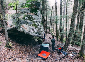
Start the quick approach to Lilly Boulders from the Lilly Overlook parking area. For directions, plug the coordinates 36.10277, -84.72147 into your GPS or try here. At the leftmost part of the parking lot, you will see a sign for the trailhead leading to the boulder field. Follow this 0.2-mile t...Read more -
Guild, Tennessee
Climb Lake Nickajack
4.0Lake Nickajack has an incredible stretch of 50' limestone that is only accessible by water. The beauty of this wall is that a majority is vertical to slightly overhung, so you can ascend and at any time and just drop into the deep waters below. The limestone is covered in tufas, so plenty of op...Read more

