Ocoee, Tennessee
Top Spots in and near Ocoee
-
Blairsville, Georgia
Nottely Reservoir Trail
2.53 mi / 335 ft gainNottely Reservoir Trail is a loop trail that takes you by a river located near Blairsville, Georgia.Read more -
Signal Mountain, Tennessee
Hike to Edwards Point
4.75.8 mi / 50 ft gainThe Signal Point to Edwards Points trail serves as the southernmost leg of the Cumberland Trail, winding through part of the Chickamauga and Chattanooga National Military Park. From the initial Signal Point overlook, the path descends into Middle Creek Gorge, passes through the Rainbow Lake Wilde...Read more -
Chattanooga, Tennessee
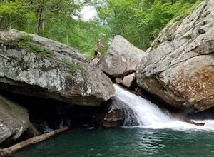
Hike and Swim at the Middle Creek Slide
3.04 mi / 200 ft gainYou park just west of the map waypoint on the wide shoulder (remember to lock your car, thefts have been reported in this area). The trailhead is really just an opening on the side of the road. Follow this to the creek and start making your way along the rocks upstream. The difficulty of the cl...Read more -
Chattanooga, Tennessee
Relax at Sunset Rock
4.3Sunset Rock provides spectacular access to the Bluff and Gum Spring Trails for hiking, is home to some of the top trad climbing routes in the area, and is perfect for residents and visitors alike who are seeking a great view of the Chattanooga area. Parking is allowed in a tiny lot provided on We...Read more -
Chattanooga, Tennessee
Hike to Middle Creek Falls
3.50.5 miMiddle Creek Falls, despite its proximity to the Cumberland Trail hikes, has no official designated trail. However, there is a pull-off on Suck Creek Road (informally marked by graffiti and bumper stickers adorning the guard rail) with room on either side of the street to park. The trail begins ...Read more -
Chattanooga, Tennessee
Snoopers Rock Trail
5.05.79 mi / 1339 ft gainSnoopers Rock Trail is an out-and-back trail that takes you by a river located near Chattanooga, Tennessee.Read more -
Chattanooga, Tennessee
Mountain Bike Raccoon Mountain
5.0Raccoon Mountain is an extensive, yet newer system of singletrack that circle the TVA Raccoon Mountain pumped storage facility, just 15 minutes east of downtown. The 30 miles of trails primarily span from intermediate to advanced levels, but a few beginner friendly routes can be found as well.Gra...Read more -
Chattanooga, Tennessee
Photograph Snoopers Rock
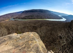
5.0To hit one of the best panoramic views of the Tennessee River Gorge, head into Prentice Cooper State Forest and head straight for Snoopers Rock. This 6,000+ acre protected park is home to over 35 miles of trails, campsites, and so much more.To access Snoopers Rock, you can drive through Prentice ...Read more -
Lookout Mountain, Georgia
Explore Lula Lake Land Trust
3.93.4 mi / 459 ft gainLula Lake Land Trust may only be accessible on the first and last Saturday of every month, but a visit to this North Georgia park is well worth planning for. It offers a small, but beautiful lake, a large waterfall, and over 6 miles of trails for hiking or biking. The 1-mile level gravel road fro...Read more -
Tellico Plains, Tennessee
Hike to Falls Branch Falls
5.02.6 mi / 540 ft gainTo get to the trailhead, drive 22.5 miles on the Cherohala Skyway from Tellico Plains, Tennessee. If you are coming from the North Carolina side, drive 20.5 miles to the trailhead. The trailhead parking area is marked by a large green sign saying West Rattlesnake and is surrounded by a low stone ...Read more -
LaFayette, Georgia
Hike to Keown Falls
1.8 mi / 450 ft gainKeown Falls Trail is a moderate loop perfect for a Spring day (especially after those April showers). The trailhead is located in the Keown Falls picnic area which is very spacious spotted with several picnic tables. This would be a great place for a family gathering and is spacious enough that ...Read more -
Vonore, Tennessee
Camp at Citico Creek
5.0There are a few options for getting to Citico Creek, you can either go up the windy gravel road from US 411 or get off of the Cherohala Skyway and go down the mountain past the Indian Boundary campground. The Citico Creek campground has about 5 or 6 spots but is rarely full because it is very sec...Read more -
Tellico Plains, North Carolina
Hike to Whiggs Meadow
3 mi / 700 ft gainYou will start your hike off of the Cherohala Skyway. The trail-head is a small asphalt pull-off on the right if you are coming from Tellico Plains. From the trail-head the trail starts up and almost all of the trial is an uphill incline on the way there with about 700 feet of elevation change ov...Read more -
Robbinsville, North Carolina
Hike Hooper Bald
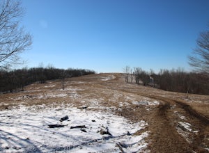
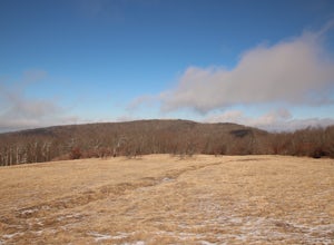
1 mi / 250 ft gainHooper bald is one of the highest points in Graham County so the views from the top can be spectacular year round. The trail-head starts at mile marker 8 on the Cherohala Skyway. From the trail-head you start your accent on a semi-paved trail and walk about a half-mile before reaching the edge o...Read more -
Spring City, Tennessee
Hike to Stinging Fork Falls
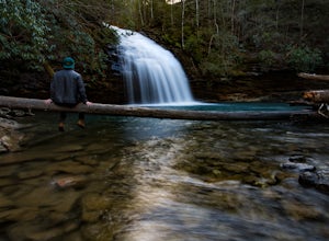
3.53 mi / 400 ft gainThe trail begins on the right side of the parking lot. The first part is flat with no elevation change and easy walking. About half a mile in you will reach a trail split. The right trail will take you to the falls and the left trail will take you to an overlook of the gorge below. I was not able...Read more -
Grandview, Tennessee
Hike to Piney Falls
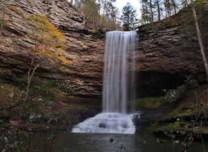
5.01.5 mi / 500 ft gainThe gravel road heading to the trailhead is on the rougher side to take it slow. When you get to the trailhead it’s a small gravel pull off right off the road. There are no maps at the trailhead but there are only a few trails to take and they are marked with a blue marker. To get to the upper fa...Read more


